Aurora in Marion County, Oregon — The American West (Northwest)
Aurora
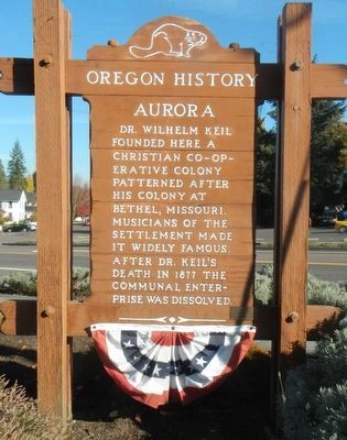
Photographed by Barry Swackhamer, September 25, 2017
1. Aurora Marker
Erected by Oregon Travel Experience.
Topics and series. This historical marker is listed in this topic list: Settlements & Settlers. In addition, it is included in the Oregon Beaver Boards series list. A significant historical year for this entry is 1877.
Location. 45° 13.886′ N, 122° 45.36′ W. Marker is in Aurora, Oregon, in Marion County. It is on Main Street North East near Pacific Highway East (Oregon Route 99E), on the left when traveling south. Touch for map. Marker is at or near this postal address: 21580 Main Street North East, Aurora OR 97002, United States of America. Touch for directions.

Regionally, this marker is in Oregon Wine Country and in the Willamette Valley. It is also on the American Pacific Coast, in the Pacific Northwest, and in the Lewis & Clark Corridor. Globally, it is in North America, in the Cascade Range, on the Ring of Fire, on the Pacific Rim, in
this page online
Other nearby markers. At least 8 other markers are within 5 miles of this marker, measured as the crow flies: Wm. Keil and Company (here, next to this marker); Will-Snyder Store (within shouting distance of this marker); The Octagonal Building (within shouting distance of this marker); Aurora Colony Black Walnut (about 500 feet away, measured in a direct line); Boone's Ferry (approx. 2.9 miles away); Grove of the States (approx. 3.2 miles away); Tauchman House (approx. 4.4 miles away); Boone’s Landing (approx. 4.4 miles away). Touch for a list and map of all markers in Aurora.
More about this marker. The marker is located in a small triangular park bounded by Main Street, Pacific Highway and Second Street.
Also see . . . Oregon Travel Experience - Aurora. The official Oregon 'Beaver Board' website which promotes over 100 Oregon State Historical Markers. (Submitted on February 22, 2018, by Douglass Halvorsen of Klamath Falls, Oregon.)
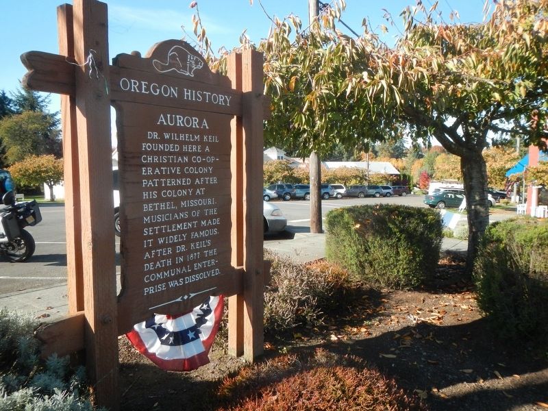
Photographed by Barry Swackhamer, September 25, 2017
2. Aurora Marker
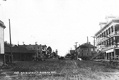
Photographed by Unknown
3. Main Street, Aurora
Credits. This page was last revised on October 19, 2020. It was originally submitted on February 22, 2018, by Barry Swackhamer of Brentwood, California. This page has been viewed 362 times since then and 30 times this year. Photos: 1, 2, 3. submitted on February 22, 2018, by Barry Swackhamer of Brentwood, California.
