Westminster in Carroll County, Maryland — The American Northeast (Mid-Atlantic)
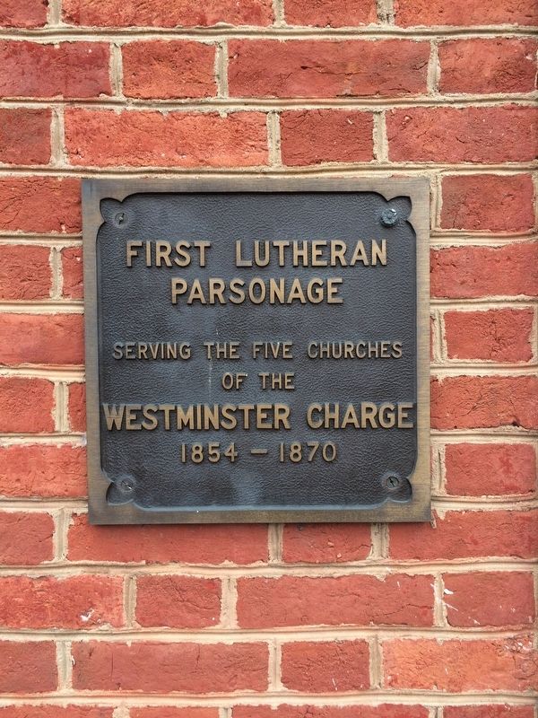
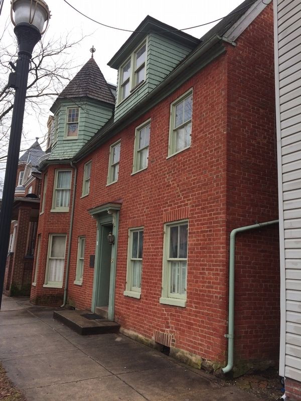
First Lutheran Parsonage
Parsonage
Serving the five churches
of the
Westminster Charge
1854-1870
Topics. This historical marker is listed in this topic list: Churches & Religion. A significant historical year for this entry is 1854.
Location. 39° 34.798′ N, 76° 59.937′ W. Marker is in Westminster, Maryland, in Carroll County. Marker is on Pennsylvania Avenue north of James Street, on the left when traveling north. Touch for map. Marker is at or near this postal address: 59 Pennsylvania Avenue, Westminster MD 21157, United States of America. Touch for directions.
Other nearby markers. At least 8 other markers are within walking distance of this marker. Westminster MD War Memorial (about 600 feet away, measured in a direct line); The Rosser Raid (approx. 0.2 miles away); Carroll Hall / President's House / Levine Hall / Baker Chapel / Alumni Hall / Ward Memorial Arch (approx. ¼ mile away); Westminster Depot (approx. 0.4 miles away); Mayor Joseph L. Mathias (approx. 0.4 miles away); History Is Also Now (approx. half a mile away); Gen. Bradley T. Johnson's Raid (approx. half a mile away); Pvt. Jerome L. Day (approx. half a mile away). Touch for a list and map of all markers in Westminster.
Credits. This page was last revised on March 18, 2019. It was originally submitted on February 25, 2018, by Devry Becker Jones of Washington, District of Columbia. This page has been viewed 137 times since then and 9 times this year. Photos: 1, 2. submitted on February 25, 2018, by Devry Becker Jones of Washington, District of Columbia. • Bill Pfingsten was the editor who published this page.

