Near Brookeville in Montgomery County, Maryland — The American Northeast (Mid-Atlantic)
Our Agricultural Heritage
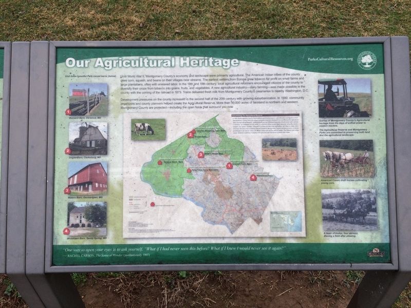
Development pressures on the county increased in the second half of the 20th century with growing suburbanization. In 1980, community organizers and county planners helped create the Agricultural Reserve. More than 90,000 acres of farmland in northern and western Montgomery County are protected—including the open fields that surround you now.
Establishing The Agricultural Reserve
In 1980, the Montgomery County Planning
this page online
[Captions:]
Visit these beautiful Park-owned barns (below).
1. Bussard Barn, Derwood, MD
2. Zeigler Barn, Clarksburg, MD
3. Waters Barn, Germantown, MD
4. Woodlawn Barn, Sandy Spring, MD
Scenes of Montgomery County's Agricultural heritage from the days of animal power to modern tractors.
The Agricultural Reserve and Montgomery Parks are committed
American Cream draft horses cultivating young corn.
A team of mules, four abreast, discing a field after plowing. "One way to open your eyes is to ask yourself, "What if I had never seen this before? What if I knew I would never see it again?"—Rachel Carson, The Sense of Wonder (posthumously 1965)
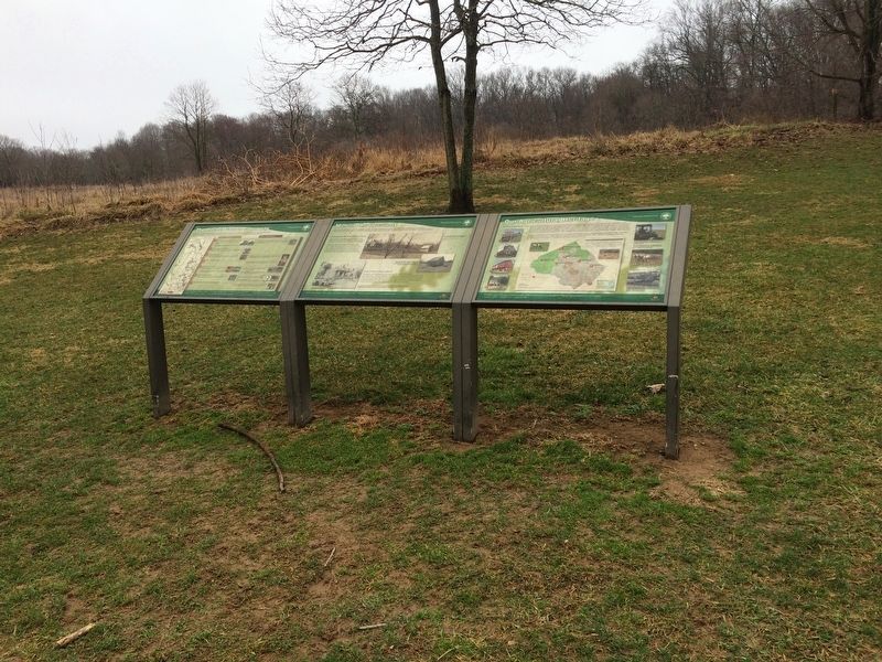
Erected by Montgomery Parks.
Topics and series. This historical marker is listed in these topic lists: Agriculture • Animals. In addition, it is included in the Maryland, Montgomery Parks series list. A significant historical year for this entry is 1873.
Location. 39° 13.187′ N, 77° 5.13′ W. Marker is near Brookeville, Maryland, in Montgomery County. It can be reached from Zion Road south of Sundown Road, on the right when traveling north. On the grounds of Rachel Carson Conservation Park. Touch for map. Marker is at or near this postal address: 22225 Zion Road, Brookeville MD 20833, United States of America. Touch for directions.

Regionally, this marker is in the Washington Metropolitan Area. It is also in the American Mid-Atlantic. Globally, it is in North
Photographed by Devry Becker Jones (CC0), February 25, 2018
3. Sign nearby
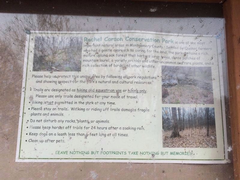
Rachel Carson Conservation Park is one of the most important natural areas in Montgomery County. Settled by Quaker farmers who had a gentle approach to caring for the land, the park contains a rich, mature upland oak forest that harbors large trees, dense patches of mountain laurel, a variety orchids and other uncommon and rare plants, and a rich collection of birds and other wildlife.
Please help us protect this unique area by following all park regulations and showing respect for the park's natural and cultural resources.
·Trails are designated as hiking and equestrian use or hiking only. Please use only trails designated for your mode of travel.
·Biking is not permitted in the park at any time.
·Please stay on trails. Walking or riding off trails damages fragile plants and animals.
·Do not disturb any rocks, plants or animals.
·Please keep horses off trails for 24 hours after a soaking rain.
·Keep dogs on a leash less than 6 feet long at all times.
·Clean up after pets.
Leave nothing but footprints take nothing but memories
·Biking is not permitted in the park at any time.
·Please stay on trails. Walking or riding off trails damages fragile plants and animals.
·Do not disturb any rocks, plants or animals.
·Please keep horses off trails for 24 hours after a soaking rain.
·Keep dogs on a leash less than 6 feet long at all times.
·Clean up after pets.
Other nearby markers. At least 8 other markers are within 3 miles of this marker, measured as the crow flies: Mills in the Upcounty (here, next to this marker); The Rachel Carson Greenway (here, next to this marker); Howard Chapel Cemetery (approx. 1.6 miles away); Freedmen during Reconstruction in Montgomery County (approx. 2.8 miles away); Oakley Cabin (approx. 2.9 miles away); Newlin’s Mill (approx. 3 miles away); The Miller's Cottage (approx. 3 miles away); Bentley House (approx. 3 miles away). Touch for a list and map of all markers in Brookeville.
Other markers no longer nearby. Elton (was approx. 1.4 miles away but has been confirmed missing); Brookeville Schoolhouse (was approx. 2.9 miles away but has been permanently removed).
Credits. This page was last revised on September 22, 2019. It was originally submitted on February 25, 2018, by Devry Becker Jones of Washington, District of Columbia. This page has been viewed 311 times since then and 22 times this year. Photos: 1, 2, 3. submitted on February 25, 2018, by Devry Becker Jones of Washington, District of Columbia. • Bill Pfingsten was the editor who published this page.
