Brookeville in Montgomery County, Maryland — The American Northeast (Mid-Atlantic)
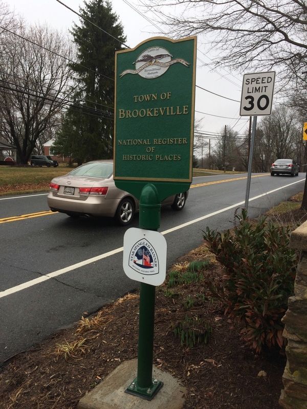
Town of Brookeville
Town of Brookeville, Maryland
— United States Capital for a Day August 26, 1814 —
Brookeville
National Register
of
Historic Places
Erected by Town of Brookeville.
Topics. This historical marker is listed in these topic lists: Settlements & Settlers • War of 1812. A significant historical date for this entry is August 26, 1814.
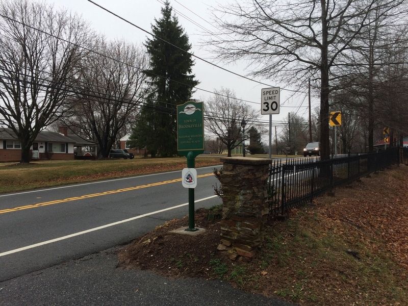
Location. 39° 10.69′ N, 77° 3.47′ W. Marker is in Brookeville, Maryland, in Montgomery County. Marker is on Georgia Avenue (Maryland Route 97) south of Church Street, on the right when traveling north. Touch for map. Marker is at or near this postal address: 20 High Street, Brookeville MD 20833, United States of America. Touch for directions.
Other nearby markers. At least 8 other markers are within walking distance of this marker. Brookeville Academy (approx. 0.2 miles away); A Refuge (approx. 0.2 miles away); Brookeville Angel (approx. 0.2 miles away); Newlin’s Mill Millstone (approx. 0.2 miles away); Brookeville (approx. 0.2 miles away); August 26, 1814 (approx. 0.2 miles away); Murphy House (approx. 0.2 miles away); Margaret Brooke House (approx. 0.2 miles away). Touch for a list and map of all markers in Brookeville.
Credits. This page was last revised on March 19, 2019. It was originally submitted on February 25, 2018, by Devry Becker Jones of Washington, District of Columbia. This page has been viewed 202 times since then and 11 times this year. Photos: 1, 2. submitted on February 25, 2018, by Devry Becker Jones of Washington, District of Columbia. • Bill Pfingsten was the editor who published this page.

