West St. Clair Township near Pleasantville in Bedford County, Pennsylvania — The American Northeast (Mid-Atlantic)
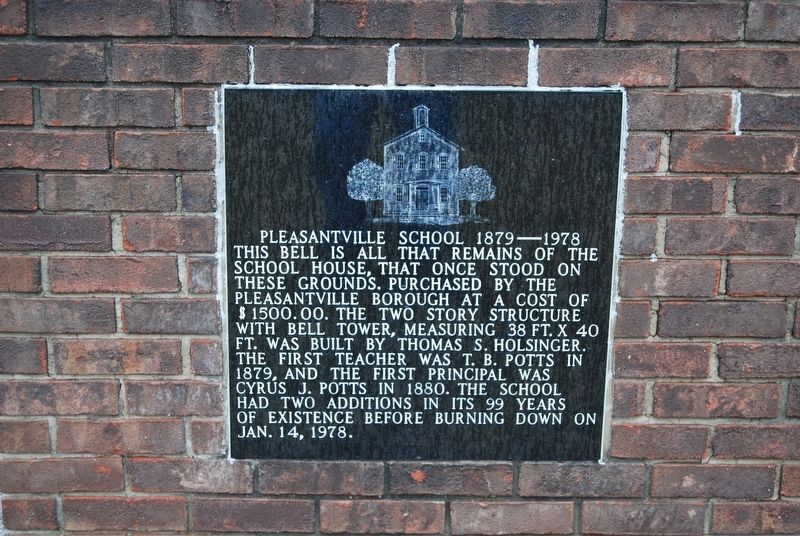
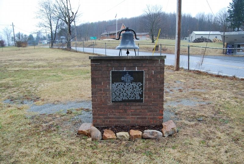
Pleasantville School
1879-1978
Topics. This historical marker is listed in this topic list: Education. A significant historical year for this entry is 1879.
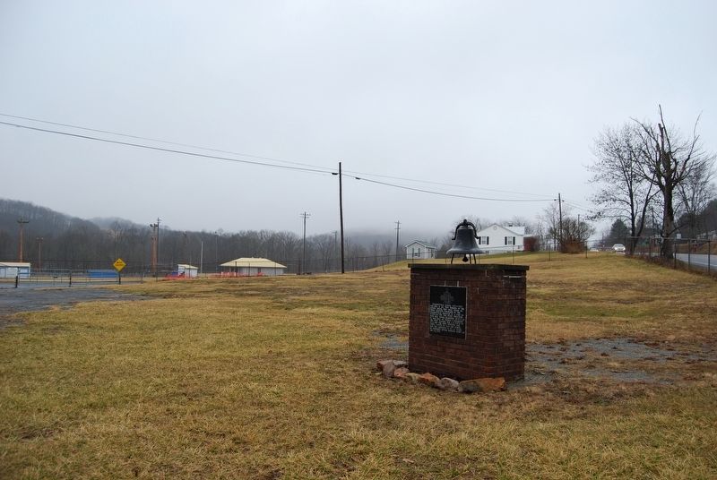
Location. 40° 10.967′ N, 78° 36.912′ W. Marker is near Pleasantville, Pennsylvania, in Bedford County. It is in West St. Clair Township. Marker can be reached from the intersection of Quaker Valley Road (Route 56) and Beutman Road. Located in The Mark Mock Memorial Park. Touch for map. Marker is in this post office area: Alum Bank PA 15521, United States of America. Touch for directions.
Other nearby markers. At least 8 other markers are within 10 miles of this marker, measured as the crow flies. Benjamin Walker Homestead (approx. 0.8 miles away); Friends Cemetery / The Underground Railroad (approx. 2.6 miles away); Osterburg Area Veterans Memorial (approx. 5.2 miles away); Veterans Memorial (approx. 9.4 miles away); Lincoln Highway Heritage Corridor (approx. 9.4 miles away); The Beginning of Agricultural Cooperative Extension Service (approx. 9.4 miles away); Forbes Road (approx. 9.4 miles away); Forbes Camp (approx. 9.4 miles away).
Credits. This page was last revised on February 7, 2023. It was originally submitted on February 23, 2018, by Mike Wintermantel of Pittsburgh, Pennsylvania. This page has been viewed 350 times since then and 39 times this year. Last updated on February 26, 2018, by Devry Becker Jones of Washington, District of Columbia. Photos: 1, 2, 3. submitted on February 23, 2018, by Mike Wintermantel of Pittsburgh, Pennsylvania. • Andrew Ruppenstein was the editor who published this page.


