Lafayette in Lafayette Parish, Louisiana — The American South (West South Central)
Emmanuel Baptist Church
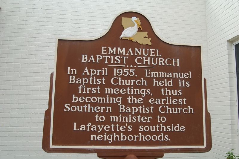
Photographed by Cajun Scrambler, February 27, 2018
1. Emmanuel Baptist Church Marker
Topics. This historical marker is listed in this topic list: Religion & Religious Structures.
Location. 30° 12.099′ N, 92° 3.267′ W. Marker is in Lafayette, Louisiana, in Lafayette Parish. It is on Marie Antoinette Street west of Johnston Street (U.S. 167), on the left when traveling west. Touch for map. Marker is at or near this postal address: 101 Marie Antoinette Street, Lafayette LA 70506, United States of America. Touch for directions.

Regionally, this marker is in Acadiana — Cajun Country. It is also in the American South and specifically in the Deep South. Globally, it is in North America, a Gulf of Mexico state, the Western Hemisphere, the Western World, and the Anglosphere. Historically, it finds itself in what was once New Spain, Acadia, the territory of the Mississippian Culture, the Louisiana Purchase, one of the Confederate States of America, and the Antebellum South.
Other nearby markers. At
this page online
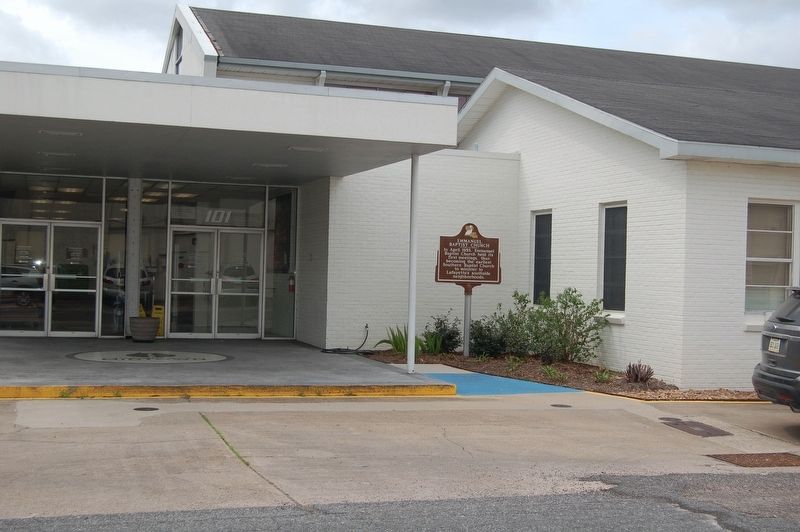
Photographed by Cajun Scrambler, February 27, 2018
2. Emmanuel Baptist Church Marker
Credits. This page was last revised on September 9, 2022. It was originally submitted on February 28, 2018, by Cajun Scrambler of Assumption, Louisiana. This page has been viewed 618 times since then and 50 times this year. Photos: 1, 2. submitted on February 28, 2018.
