Braxton in Simpson County, Mississippi — The American South (East South Central)
Braxton
| — | Simpson County Heritage Trail | — |
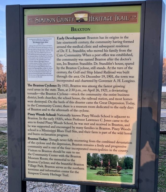
Photographed by Mark Hilton, December 2, 2017
1. Braxton Marker
Early Development: Braxton has its origins in the late nineteenth century, the community having formed around the medical.clinic and subsequent residence of Dr. E. L. Standifer, who moved his family from the Cato Community. When a post office was established, the community was named Braxton after the doctor's son, Ira Braxton Standifer. Dr. Standifer's house, spared by the Braxton Cyclone, still stands. At the turn of the century, the Gulf and Ship Island Railroad was built through the area. On December 19, 1901, the town was incorporated and chartered by Governor A. H. Longino.
The Braxton Cyclone: By 1921, Braxton was among the fastest growing rural areas in the state. Then, at 2:30 p.m., on April 26, 1921, a devastating tornado—the Braxton Cyclone—struck the community: the entire business district, both churches, the school house, the railroad station, and most homes were destroyed. On the heels of this disaster came the Great Depression. Today, in the Community Center, there is a museum room dedicated to the early days of Braxton and to the aftermath of the cyclone.
Piney Woods School: Nationally
this page online
Braxton Today: Though never fully recovering from the combined devastation of the cyclone and the depression, Braxton remains a lively and progressive community and is one of the four incorporated municipalities in the county. Visitors to Braxton should be sure to see the Community Center with the Braxton Museum Room; the memorial to the Braxton Cyclone; and the beautiful Braxton Village Park. Braxton serves as the northern terminus and information center for the Simpson County Heritage Trail.
Inset
From the Columns of Bee King
The Simpson County News
1937-1948
The early
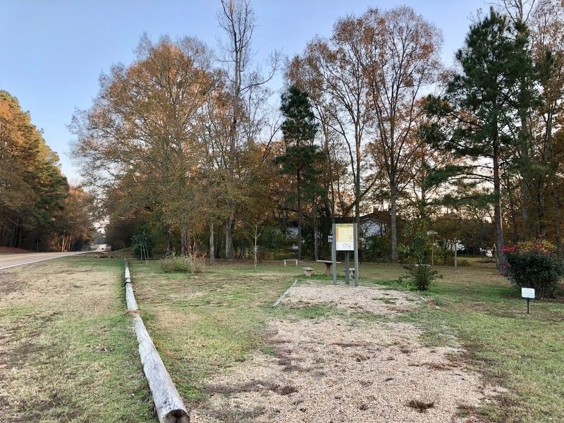
Photographed by Mark Hilton, December 2, 2017
2. Braxton Marker in a triangular park on north side of town.
Erected by the Simpson County Development Foundation.
Topics. This historical marker is listed in these topic lists: Disasters • Education • Settlements & Settlers. A significant historical date for this entry is April 26, 1921.
Location. 32° 1.787′ N, 89° 58.207′ W. Marker is in Braxton, Mississippi, in Simpson County. It is at
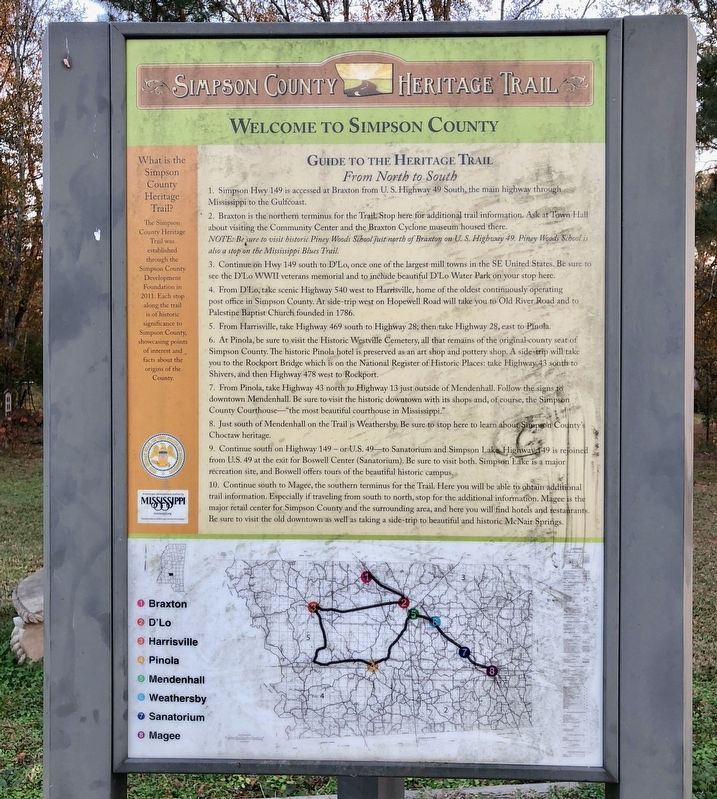
Photographed by Mark Hilton, December 2, 2017
3. Guide to the Simpson County Heritage Trail and provides directions & map.

Regionally, this marker is in Natchez Trace Corridor and in Greater Jackson. It is also in the American South and specifically in the Deep South. Globally, it is in North America, a Gulf of Mexico state, the Western Hemisphere, the Western World, and the Anglosphere. Historically, it finds itself in what was once the territory of the Mississippian Culture, one of the Confederate States of America, and the Antebellum South.
Other nearby markers. At least 8 other markers are within 8 miles of this marker, measured as the crow flies: Flags Over Simpson County (here, next to this marker); The Piney Woods School (approx. 2.7 miles away); Martha Louise Morrow Foxx (approx. 2.7 miles away); a different marker also named Piney Woods School (approx. 2.7 miles away); D'Lo And Finkbine Lumber Company (approx. 5 miles away); Faith Hill (approx. 6.2 miles away); Wesleyanna Methodist Church (approx. 6.6 miles away); Mendenhall (approx. 7½ miles away).
Credits. This page was last revised on February 28, 2018. It was originally submitted on February 28, 2018, by Mark Hilton of Montgomery, Alabama. This page has been viewed 1,075 times since then and 96 times this year. Photos: 1, 2, 3. submitted on February 28, 2018, by Mark Hilton of Montgomery, Alabama.
