Braxton in Simpson County, Mississippi — The American South (East South Central)
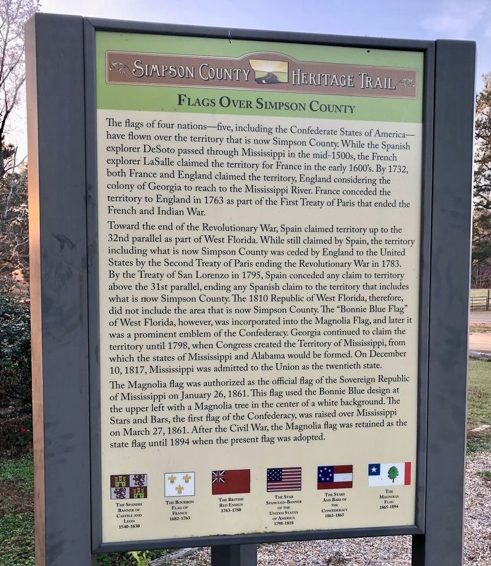
Flags Over Simpson County
| — | Simpson County Heritage Trail | — |
Photographed by Mark Hilton, December 2, 2017
1. Flags Over Simpson County Marker
Toward the end of the Revolutionary War, Spain claimed territory up to the 32nd parallel as part of West Florida. While still claimed by Spain, the territory including what is now Simpson County was ceded by England to the United States by the Second Treaty of Paris ending the Revolutionary War in 1783. By the Treaty of San Lorenzo in 1795, Spain conceded any claim to territory above the 31st parallel, ending any Spanish claim to the territory that in what is now Simpson County. The 1810 Republic of West Florida, therefore, did not include
this page online
The Magnolia flag was authorized as the official flag of the Sovereign Republic of Mississippi on January 26, 1861. This flag used the Bonnie Blue design at the upper left with a Magnolia tree in the center of a white background. The Stars and Bars, the first flag of the Confederacy, was raised over Mississippi on March 27, 1861. After the Civil War, the Magnolia flag was retained as the state flag until 1894 when the present flag was adopted.
Erected by the Simpson County Development Foundation.
Topics. This historical marker is listed in these topic lists: Exploration • Settlements & Settlers • War, US Revolutionary. A significant historical date for this entry is January 26, 1861.
Location. 32° 1.788′ N,
Photographed by Mark Hilton, December 2, 2017
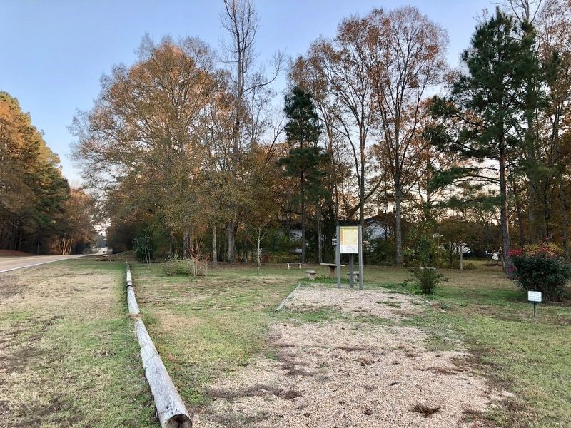
2. Braxton Marker in a triangular park on north side of town.

Regionally, this marker is in Natchez Trace Corridor and in Greater Jackson. It is also in the American South and specifically in the Deep South. Globally, it is in North America, a Gulf of Mexico state, the Western Hemisphere, the Western World, and the Anglosphere. Historically, it finds itself in what was once the territory of the Mississippian Culture, one of the Confederate States of America, and the Antebellum South.
Other nearby markers. At least 8 other markers are within 8 miles of this marker, measured as the crow flies: Braxton (here, next to this marker); The Piney Woods School (approx. 2.7 miles away); Martha Louise Morrow Foxx (approx. 2.7 miles away); a different marker also named Piney Woods School (approx. 2.7 miles away); D'Lo And Finkbine Lumber Company
Photographed by Mark Hilton, December 2, 2017
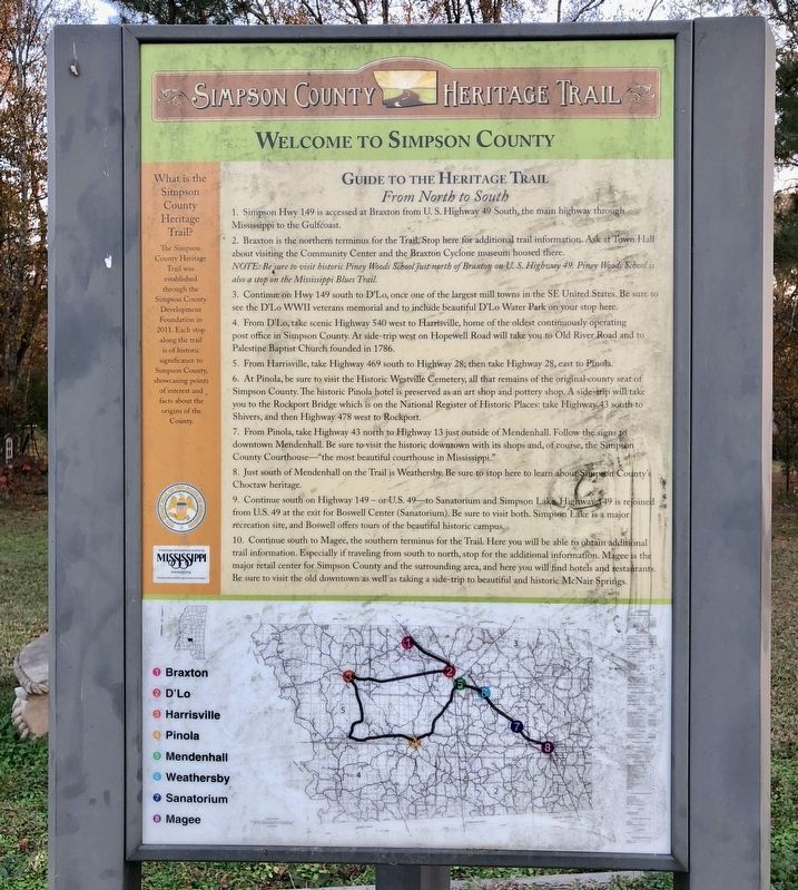
3. Guide to the Simpson County Heritage Trail and provides directions & map.
Credits. This page was last revised on February 28, 2018. It was originally submitted on February 28, 2018, by Mark Hilton of Montgomery, Alabama. This page has been viewed 550 times since then and 42 times this year. Photos: 1, 2, 3. submitted on February 28, 2018, by Mark Hilton of Montgomery, Alabama.
