Near Wolf Creek in Josephine County, Oregon — The American West (Northwest)
Golden
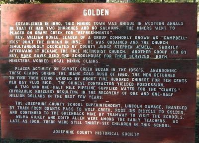
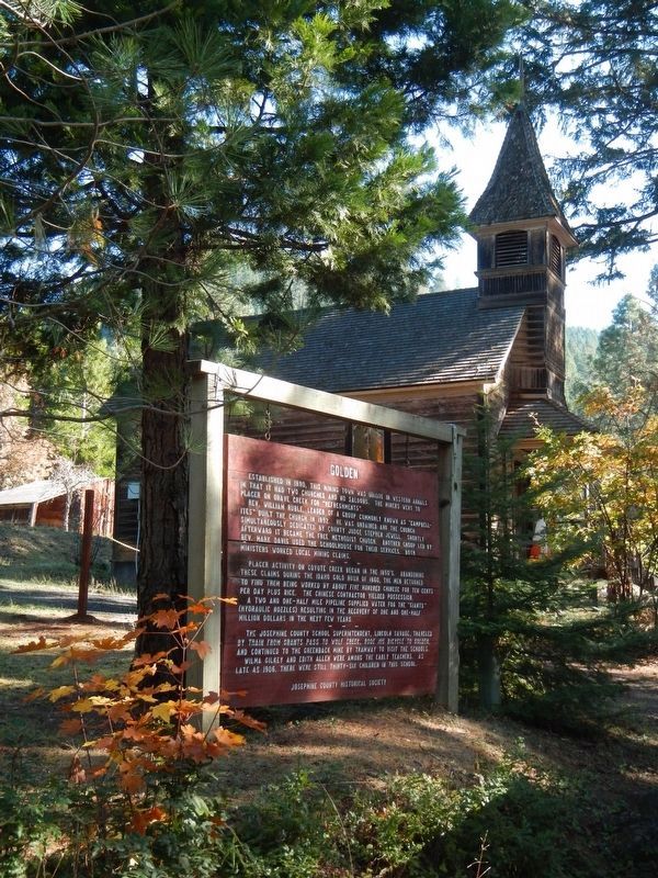
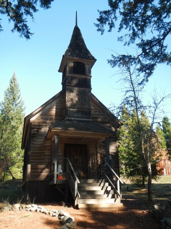
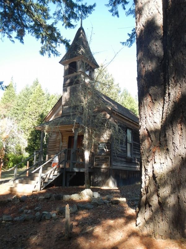
Rev. William Ruble, leader of a group commonly known as "Campbellites" built the church in 1852. He was ordained and the church simultaneously dedicated by County Judge Stephen Jewell. Shortly afterward it became the Free Methodist Church. Another group led by Rev. Mark Davis used the schoolhouse for their services. Both ministers worked local mining claims.
Placer activity on Coyote Creek began in the 1850's. Abandoning these claims during the Idaho gold rush of 1860, the men returned to find them being worked by about five hundred Chinese for ten cents per day plus rice. The Chinese contractor yielded possession.
A two and one-half mile pipeline supplied water for the "Giants" (hydraulic nozzles) resulting in the recovery of one and one-half million dollars in the next few years.
The Josephine County School Superintendent, Lincoln Savage, traveled by train from Grants Pass to Wolf Creek, rode his bicycle to Golden. and continued to the Greenback Mine by tramway to visit the schools.
Wilma Gilkey and Edith Allen were among the early teachers. As late as 1906, there were still thirty-six children in this school.
Erected by Josephine County Historical Society.
Topics. This historical marker is listed in these topic lists: Churches & Religion • Education • Settlements & Settlers. A significant historical year for this entry is 1890.
Location. 42° 40.923′ N, 123° 19.901′ W. Marker is near Wolf Creek, Oregon, in Josephine County. Marker is on Coyote Creek Road near Bear Gulch Road, on the left when traveling east. Touch for map. Marker is at or near this postal address: 3482 Coyote Creek Road, Wolf Creek OR 97497, United States of America. Touch for directions.
Other nearby markers. At least 8 other markers are within 4 miles of this marker, measured as the crow flies. GOLD! (within shouting distance of this marker); The Applegate Trail (approx. 3.4 miles away); Feeble, Hungry, and Haggard (approx. 3.4 miles away); Early Traveler Accommodations (approx. 3.4 miles away); Wolf Creek Tavern (approx. 3.4 miles away); Grave Creek Ranch (approx. 3.9 miles away); a different marker also named The Applegate Trail (approx. 3.9 miles away); Applegate Trail - Grave Creek (approx. 4 miles away). Touch for a list and map of all markers in Wolf Creek.
More about this marker. The marker is located at Golden State Historic Site
Credits. This page was last revised on March 1, 2018. It was originally submitted on March 1, 2018, by Barry Swackhamer of Brentwood, California. This page has been viewed 206 times since then and 13 times this year. Photos: 1, 2, 3, 4. submitted on March 1, 2018, by Barry Swackhamer of Brentwood, California.


