
Annapolis in Anne Arundel County, Maryland — The American Northeast (Mid-Atlantic)
The City Water System
Annapolis Charter 300 1708-2008
| — | Commemorating the 1708 Royal Charter under Queen Anne to the City of Annapolis | — |
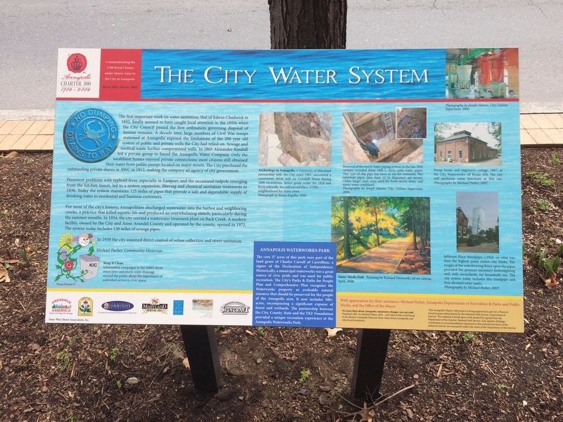
Persistent problems with typhoid fever, especially in Eastport, and the occasional tadpole emerging from the kitchen faucet, led to a system expansion, filtering chemical sanitation treatments in 1930. Today the system maintains 125 mils of pipes that provide a safe and dependable supply of drinking water to residential and business customers.
For
this page online
In 1930 the city assumed direct control of refuse collection and street sanitation.
Michael Parker, Community Historian
Erected by The City of Annapolis.
Topics. This historical marker is listed in these topic lists: Charity & Public Work • Industry & Commerce • Waterways & Vessels. A significant historical year for this entry is 1842.
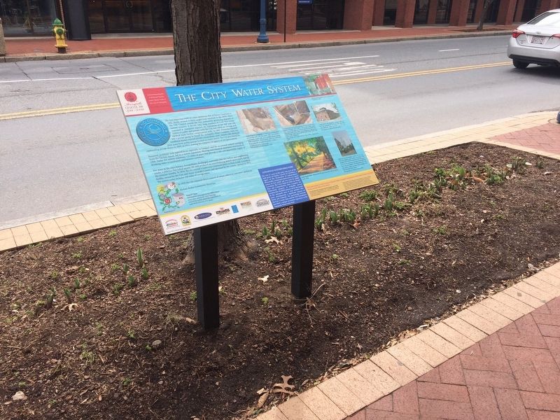
Location. 38° 58.592′ N, 76° 30.179′ W. Marker is in Annapolis, Maryland, in Anne Arundel County. It is on West Street (Maryland Route 450) east of Park Place, on the right when traveling west. Touch for map. Marker is at or near this postal address: 261 West Street, Annapolis MD 21401, United States of America. Touch for directions.

Regionally,
Other nearby markers. At least 8 other markers are within walking distance of this marker: An Environmental Perspective (here, next to this marker); Sharpening Our Governing Teeth: The 1708 Charter of Annapolis (about 400 feet away, measured in a direct line); Brown-Leanos Memorial Park (about 400 feet away); Annapolis During The Civil War (about 500 feet away); Light House Bistro (about 600 feet away); A National Cemetery System (about 700 feet away); Annapolis National Cemetery (about 700 feet away); Anne Catharine Green (about 800 feet away). Touch for a list and map of all markers in Annapolis.
Credits. This page was last revised on May 4, 2019. It was originally submitted on March 2, 2018, by Devry Becker Jones of Washington, District of Columbia. This page has been viewed 470 times since then and 37 times this year. Photos: 1, 2. submitted on March 2, 2018, by Devry Becker Jones of Washington, District of Columbia. • Bill Pfingsten was the editor who published this page.
