Stone Harbor in Cape May County, New Jersey — The American Northeast (Mid-Atlantic)
Pumping Station
1924
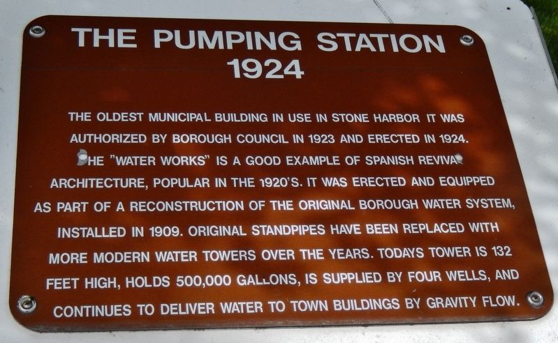
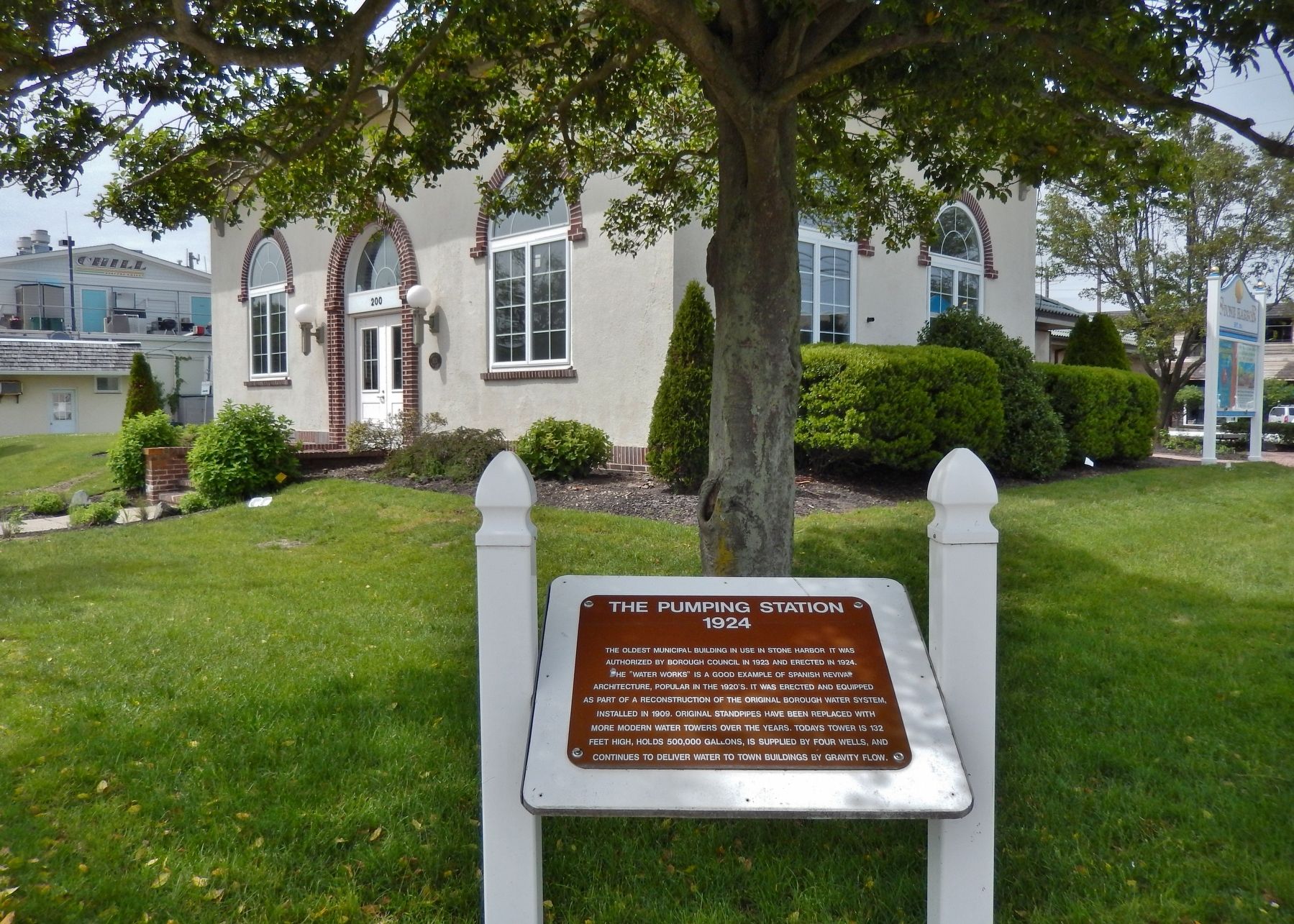
The oldest municipal building in use in Stone Harbor it was authorized by Borough Council in 1923 and erected in 1924.
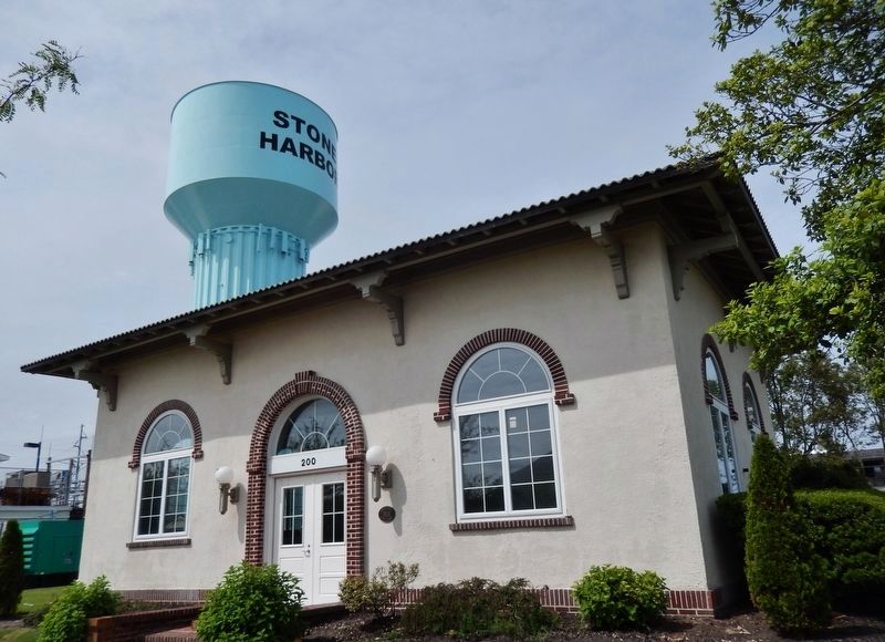
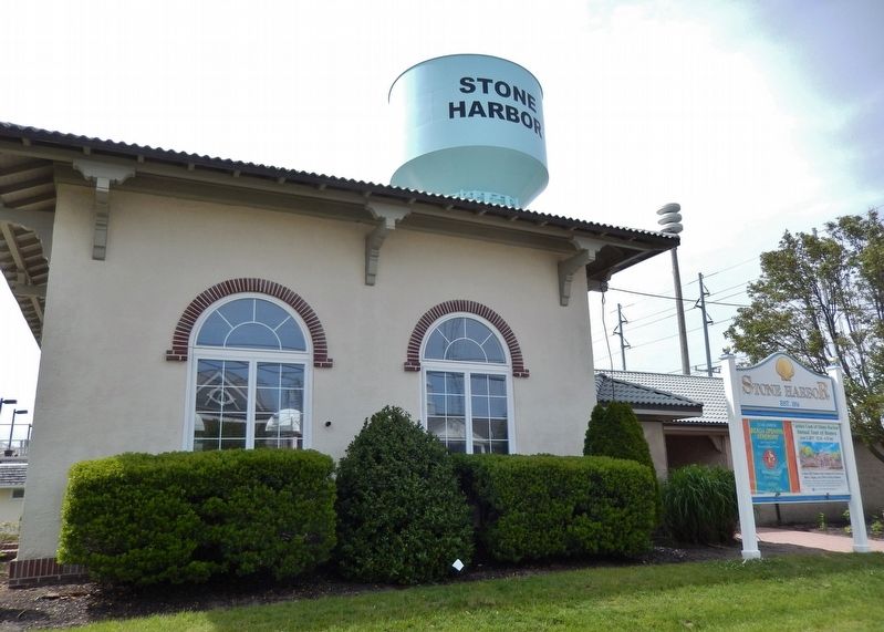
The “Water Works” is a good example of Spanish Revival architecture, popular in the 1920’s. It was erected and equipped as part of a reconstruction of the original borough water system installed in 1909. Original standpipes have been replaced with more modern water towers over the years. Today’s tower is 132 feet high, holds 500,000 gallons, is supplied by four wells, and continues to deliver water to town buildings by gravity flow.
Topics. This historical marker is listed in these topic lists: Architecture • Charity & Public Work • Government & Politics. A significant historical year for this entry is 1924.
Location. 39° 3.224′ N, 74° 45.518′ W. Marker is in Stone Harbor, New Jersey, in Cape May County. Marker is at the intersection of 2nd Avenue and 96th Street, on the right when traveling south on 2nd Avenue. Marker is located at the southeast corner of the Stone Harbor Water Works lot, east of the water tower. Touch for map. Marker is at or near this postal address: 200 96th St, Stone Harbor NJ 08247, United States of America. Touch for directions.
Other nearby markers. At least 8 other markers are within 4 miles of this marker, measured as the crow flies. Salt Marshes (approx. 0.9 miles away); U.S. Life Saving Station No.35 (Tatham Life Saving Station) (approx. 1.1 miles away); 1883 Original Terminus Anglesea Railroad (approx. 3.2 miles away); Hotel Anglesea (approx. 3.7 miles away); "Never Forget" (approx. 3.7 miles away); Hereford Inlet Lightouse (approx. 3.7 miles away); Deborah Jacobs Welsh (approx. 3.7 miles away); Coast Guard Station Hereford (approx. 3.7 miles away). Touch for a list and map of all markers in Stone Harbor.
Also see . . . Stone Harbor, New Jersey. Wikipedia entry (Submitted on September 27, 2021, by Larry Gertner of New York, New York.)
Credits. This page was last revised on January 25, 2022. It was originally submitted on March 3, 2018, by Cosmos Mariner of Cape Canaveral, Florida. This page has been viewed 164 times since then and 6 times this year. Photos: 1, 2, 3, 4. submitted on March 3, 2018, by Cosmos Mariner of Cape Canaveral, Florida. • Bill Pfingsten was the editor who published this page.


