Marker Logo
THE HISTORICAL
MARKER DATABASE
“Bite-Size Bits of Local, National, and Global History”
Doylestown in Bucks County, Pennsylvania — The American Northeast (Mid-Atlantic)
 

The Site


The Site Marker image. Click for full size.
Photographed by William Fischer, Jr., March 3, 2018
1. The Site Marker
Inscription. In 1884, due to overcrowding at the county jail, a grassy field on Pine Street was chosen to house a new Bucks County prison. Groundbreaking took place on April 21, 1884. Stone work from the former jail, located on Main and Court Street in Doylestown, was dismantled and used for the new construction. Plans drawn by architect Addison Hutton of Philadelphia called for an expanded prison facility that included a three-story warden's house using the popular late 19th-century Gothic style. Directly behind the warden's house was the guard house which was used as a control center for transferring prisoners into the jail. This building was connected to 58 cells; each one-person cell was eighteen feet long, eight feet wide and twelve feet high. The overall design concept was modeled after the Eastern State Penitentiary in Philadelphia.
 
Erected by the James A. Michener Art Museum.
 
Topics. This historical marker is listed in these topic lists: ArchitectureLaw Enforcement. A significant historical date for this entry is April 21, 1884.
 
Location. 40° 18.497′ N, 75° 7.594′ W. Marker is in Doylestown, Pennsylvania, in Bucks County. It
Paid Advertisement
Click or scan to see
this page online
can be reached from South Pine Street. Marker is in the outdoor entrance corridor of the James A. Michener Art Museum. Touch for map. Marker is at or near this postal address: 138 South Pine Street, Doylestown PA 18901, United States of America. Touch for directions.

Regionally, this marker is in Southeast Pennsylvania and in Greater Philadelphia. It is also in the American Northeast and in the Mid-Atlantic. Globally, it is in North America, the Western Hemisphere, the Western World, and the Anglosphere. Historically, it finds itself in what was once the Haudenosaunee (Iroquois) Confederacy, New Netherland, and one of the original Thirteen Colonies.

Other nearby markers. At least 8 other markers are within walking distance of this marker: The Museum (here, next to this marker); The Expansion (here, next to this marker); Corporate Business Partner Entrance Courtyard and W.B.U.X. Sculpture Garden (here, next to this marker); Bucks County Jail (within shouting distance of this marker); The Mercer Museum (within shouting distance of this marker); Last Hanging (within shouting distance of this marker); Thinking Green (about
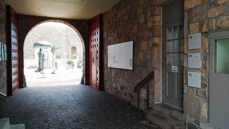
The Site Marker image. Click for full size.
Photographed by William Fischer, Jr., March 3, 2018
2. The Site Marker
400 feet away, measured in a direct line); Doylestown Agricultural Works (approx. 0.2 miles away). Touch for a list and map of all markers in Doylestown.
 
 
Credits. This page was last revised on July 14, 2021. It was originally submitted on March 4, 2018, by William Fischer, Jr. of Reynoldsburg, Ohio. This page has been viewed 655 times since then and 24 times this year. Photos:   1, 2. submitted on March 4, 2018, by William Fischer, Jr. of Reynoldsburg, Ohio.

m=114634

CeraNet Cloud Computing sponsors the Historical Marker Database.
This website earns income from purchases you make after using our links to Amazon.com. We appreciate your support.
Paid Advertisement
Jul. 10, 2026
