Near Acarlar in Selçuk, İzmir, Turkey — West Asia or Southeast Europe
The Early Ephesos
Late 7th millennium - 334 B.C.
English Text:
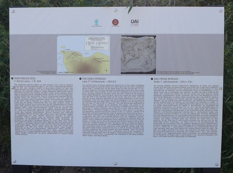
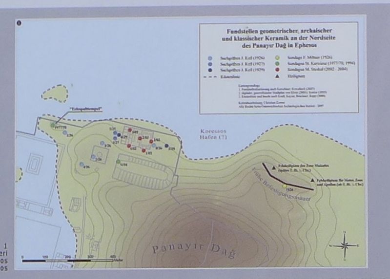
The earliest traces of human settlement found so far in the region of Ephesos were discovered on Çukuriçi Höyük and reach back into the early Chalcolithic period (late 7th millennium). At the latest since the Early Bronze Age (3rd millennium) Ayasoluk, the easily defensible freestanding mound with rocky slopes on three sides, was occupied. At that time the settlement lay directly on the shore, because instead of the plain which has been flooded by the Kaystros River (Küçük Menderes) since antiquity, there was a deep bay which extended until the foot of the mountain chain to the south, east and north. Until the early 8th century Ayasoluk remained the only known settlement in the vicinity of Ephesos. Since the Late Bronze Age the southwestern foot of the territory of Artemision was also used; there, a sanctuary existed since the beginning of the Iron Age (2nd half of the 11th century). The Late Bronze Age settlement at Ayasoluk is most probably to be identified with Apaša, the capital of the Luwian Kingdom of Arzawa (16th-13th centuries) representing the most important power in western Anatolia, which was first a rival, then a vassal of the Hittite Empire. Profound changes in the material culture point to a change in the population structure during the course of the 11th century: settlers from the Greek mainland conquered the coast of western Asia Minor during the so-called Ionian colonization. The foundation myth refers to Androcios, the son of a legendary Attic king, who wrested Ephesos from the indigenous Carians, Lelegians and Lydians. The centre of the city remained at Ayasoluk. After the mid-8th century additional settlements were established on and around Mount Panayir; of these, one on the north-east terrace of Mount Panayir and an additional one located beneath the later Tetragonos Agora (Commercial Market) have been partially excavated. The independent city state (polis) of Ephesos was increasingly beset by the ambitious Lydian Kingdom: shortly after 560, the Lydian King Kroisos conquered the city. In 546 or shortly thereafter, the Persians conquered the Lydian Kingdom and also Ephesos. Their rule lasted until Alexander the Great (334 B.C.). Lysimachos, one of the successors of Alexander, brought the next break in urban development; at the beginning of the 3rd century B.C., he resettled the inhabitants in the valley between Mount Panayir and Mount Būlbūl.
German text:
wurden auf dem Cukurici Höyük entdeckt und reichen bis in das frühe Chalkolithikum (spätes 7 Jahrtausend) zurück Spätestens seit der Frühbronzezeit (3. Jahr-tausend) war der Ayasoluk, der als freistehender Hügel mit Felsabhängen an drei seiner Seiten gut zu verteidigen war, bewohnt. Zu jener Zeit lag er direkt an der Küste, denn anstelle der Ebene, die seit der Antike vom Fluss Kaystros (Kücük Menderes) angeschwemmt wurde, erstreckte sich eine tiefe Meeresbucht bis an den Fuß der Bergketten im Süden, Osten und Norden Bis in das frühe 8 Jahrhundert blieb der Ayasoluk der einzige bekannte Siedlungsplatz im Bereich von Ephesos. Seit der späten Bronzezeit wurde auch das Gelände des Artemisions an seinem südwestlichen Fuß genutzt, seit dem Beginn der Eisenzeit (2. Hälfte 11. Jh.) lag dort ein Heiligtum Die spätbronzezeitliche Siedlung auf dem Ayasoluk ist mit großer Wahrscheinlichkeit mit ApaBa zu identifizieren, der Hauptstadt des luwischen Königreiches von Arzawa (16.-13. Jh.), das die wichtigste Macht im westlichen Anatolien darstellte und zuerst Rivale, später Vasall des Hethiterrelches war. Tiefgreifende Veränderungen in der materiellen Kultur weisen auf einen Wechsel in der Bevölkerungsstruktur während des 11 Jahrhunderts: Siedler vom griechischen Festland eroberten im Zuge der sogenannten Ionischen Wanderung die Küste Westkleinasiens Der Gründungsmythos berichtet von einem legendären
attischen Königssohn namens Androklos, der Ephesos den einheimischen Karern, Lelegern und Lydern entrissen habe Das Zentrum der Stadt blieb auf dem Ayasoluk Ab der Mitte des 8 Jahrhunderts gründete man auf dem und um den Panayirdae weitere Siedlungen, von denen eine auf der Nordostterrasse des Panayirdag und eine weitere unter der späteren Tetragonos Agora (Handelsmarkt) teilweise ausgegraben wurden Die unabhängige Polis (Stadtstaat) Ephesos wurde ab der 2. Hälfte des 7 Jahrhunderts zunehmend vom aufstrebenden Reich der Lyder bedrängt: Bald nach 560 eroberte der iydische König Kroisos die Stadt 546 oder kurz danach eroberten die Perser das Lyderreich und damit auch Ephesos, Ihre Herrschaft währte bis zu Alexander dem Großen (334 v. Chr.). Den nächsten Einschnitt in der Stadtentwicklung setzte Lysimachos, ein Alexandernachfolger, der die Bewohner am Beginn des 3. Jahrhunderts v Chr neuerlich umsiedelte, und zwar in die Senke zwischen Panayirdağ und Bulbüldağ.
Turkish text:
görmüştür, antik çağlardan beri Kaystros Irmağı'nın (Küçük Menderes) taşkınlanyla taşınan alüvyonlarla dolmuş olan bugünkü duzluğün olduğu yerde ozamanlar guney, doğu ve kuzeyde bulunan sıradağlara kadar sokulan bir koy bulunduğundan, yerleşim direkt deniz kenarındaydı. Erken 8. yüzyıla kadar Ayasoluk Efes bölgesinde bilinen tek yerleşim yeri olarak kalmıştır. Geç Tunç Çağı'ndan Itibaren Artemısion alanının güneybatı yamacı da kullanılmaya başlamış ve en geç Demir Çağırır başından (11. yüzyılın 2. yarısı) ıtıbaren burada bır kutsal alan yer almıştır. Ayasoluk'taki Geç Tunç Çağı yerleşimi, buyuk bır olasılıkla Batı Anadolu'nun en buyük gücü ve Hitit Imparatorluğu'nun önemli rakibi, daha sonra ise vasalı olan Luvı Krallığı Arzawa'nın (16. -13. yuzyıllar) başkentı Apaa olarak tanımlanmaktadır. Maddi kulturde görülen cıddi farklılıklar 11 yüzyılda nufus yapısında bir değişim olduğuna işaret etmektedir Yunan Ana Karası'ndan göçmenler Küçük Asya kıyılarını ton Goçu adı
verilen göç sırasında fethetmişlerdir Kuruluş mıtosuna gore Androklos adında Attıkalı efsanevi bır kralın oğlu, Efes'ın yerlisi olan Karıalılar, Lelegler ve Lydıalılar'dan alır Kent merkezi Ayasuluk'ta kalmıştır 8 yüzyılın ortasından Itibaren Panayır Dağı ve etrafında başka yerleşimler de kurulmuştur; bu yerleşimlerden Panayır Dağı'nın kuzey terasındaki bir yerleşim ıle geç dönem Tetragonos Agorası'nın (Ticari Pazar Yeri) altında kalan diğer bir yerleşim kısmen kazılmıştır. Bağımsız Efes kent devleti (polis) 7. yüzyılın 2 yarısından itibaren lıdya Krallığı tarafından giderek daha çok sıkıştırılmaya başlar 560'tan hemen sonra ise Lidya Kralı Kroisos şehri fethetmiştir I.Ö. 546 veya hemen sonrasında Persler Lıdya Krallığı'nı dolayısıyla da Efes'ı ele geçırmışlerdır. Hakımıyetlerl Buyuk iskender'in fethlne (I.Ö. 334) dek surmüştur. iskender'ın halefi Lysimakhos'un kent sakinlerini I.Ö. 3. yüzyılın başında Panayır Dağı ve Bülbul
Dağı'nın arasındaki vadiye yeniden yerleştirmesı ise şehrin gelişimındekı bir sonraki dönüm noktası olmuştur.
Erected by Republic of Turkey Ministry of Culture and Tourism, and the Österreichisches Archaeology Institute.
Topics. This historical marker is listed in this topic list: Settlements & Settlers.
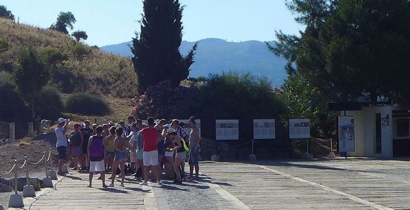
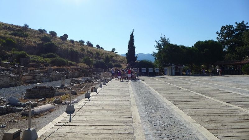
Location. 37° 56.163′ N, 27° 20.743′ E. Marker is near Acarlar, İzmir, in Selçuk. Marker can be reached from Efes Yolu just south of Dr. Sabri Yayla Boulevard (Route D515) when traveling south. The marker is in an archaeological park that is about 3 km (2 miles) southeast of Selçuk. Touch for map. Marker is in this post office area: Acarlar, İzmir 35920, Turkey. Touch for directions.
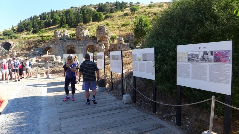
Other nearby markers. At least 8 other markers are within walking distance of this marker. The Hellenistic Ephesos (here, next to this marker); Research History of Ephesos (here, next to this marker); Roman Ephesos (here, next to this marker); Byzantine Ephesos (here, next to this marker); Ancient Ephesos (a few steps from this marker); Baths at the 'State Agora' (within shouting distance of this marker); Processional Way (within shouting distance of this marker); The 'State Agora' (within shouting distance of this marker). Touch for a list and map of all markers in Acarlar.
Click on the ad for more information.
Please report objectionable advertising to the Editor.
sectionhead>More about this marker. This marker is one of the many markers that are situated at the archaeological park that displays the ruins of the ancient city of Ephesus. One web site boasts that the ruins that one can see and experience at Ephesus are, "better than Rome itself," and although some of the artifacts found in this area have been dated back to about 6,000 BC, most of what the visitors to the archaeological park see, date back to the glory years of Greece and Rome.Please report objectionable advertising to the Editor.
Credits. This page was last revised on February 2, 2022. It was originally submitted on March 7, 2018, by Dale K. Benington of Toledo, Ohio. This page has been viewed 240 times since then and 8 times this year. Photos: 1, 2, 3, 4, 5, 6. submitted on March 7, 2018, by Dale K. Benington of Toledo, Ohio.
