Near Acarlar in Selçuk, İzmir, Turkey — West Asia or Southeast Europe
The Hellenistic Ephesos
3rd - 1st century B.C.
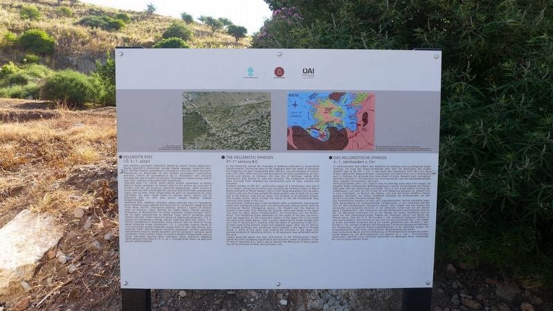
English Text:
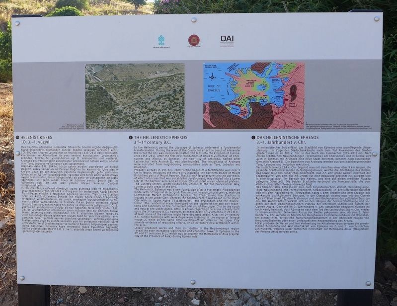
In the Hellenistic period the cityscape of Ephesos underwent a fundamental transformation. During the wars of the Diadochoi after the death of Alexander the Great the city was incorporated after 300 B.C. into the kingdom of Lysimachos (355-281). After the first new foundations of cities (Lysimachia) at Chersonnes and Altolla, at Ephesos, the new city of Arsinoea, named after Lysimachos' wife Arsinoė II, was also founded. The inhabitants of Arsinoea were recruited from neighbouring communities such as Teos, Lebedos and Kolophon.
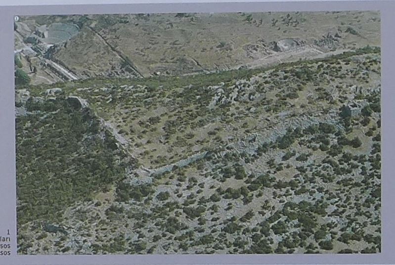
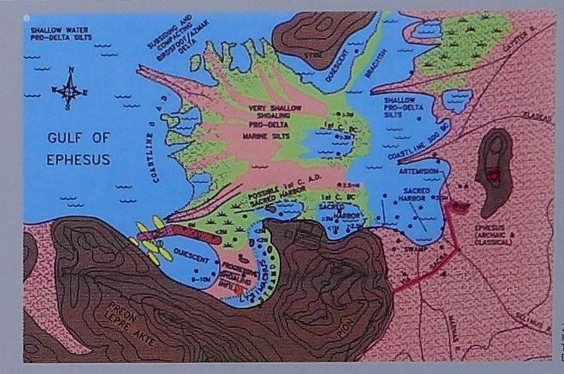
Probably already in 294 B.C. construction began of a fortification wall over 9 km in length, enclosing the entire city including the northern slopes of Mount Būlbūl and parts of Mount Panayir. The 2.5 km large area within the city walls, of which only one-third was suitable for development, was divided into a Lower City at the harbour area and an Upper City situated on an elevated plateau. The Curetes Street, which follows the course of the old Processional Way, connects both areas of the city.
The Hellenistic Ephesos was a new foundation after a systematic Hippodamian model with orthogonal street grid. The mercantile and cultural centre, with the Commercial Market (Tetragonos Agora), the Theatre and the Stadium is located in the Lower City, whereas the political centre was based in the Upper City with its Upper Agora ('Staatsmarkt'), the Prytaneum and the Bouleuterion. The residential areas developed on the slopes of the two city-mountains and especially on the convenient plateau of the Upper City to the south and east of the Upper Agora. Little is known regarding the areas actually built up in the 3rd century B.C.; however, after the death of Lysimachos in 281 B.C., at least some of the settlers might have departed again. After the 2nd century B.C. simple buildings with workshops were installed in the region of Terrace House 2, while at the same time leveling-off activities in the Upper City provide evidence of rebuilding efforts, or an extensive new settlement within the area.
Locally produced wares and their distribution in the Mediterranean region reveal the ever increasing significance and economic power of Ephesos in the 2nd and 1st centuries B.C., which was to become the Metropolis of Asia (capital city of the Province of Asia) during Roman rule.
Erected by Republic of Turkey Ministry of Culture and Tourism, and the Österreichisches Archaeology Institute.
Topics. This historical marker is listed in these topic lists: Forts and Castles • Settlements & Settlers.
Location. 37° 56.164′ N,
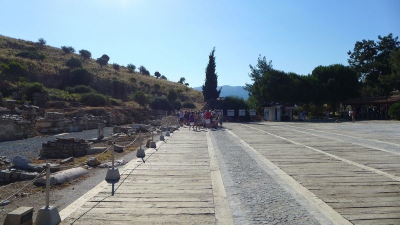
27° 20.743′ E. Marker is near Acarlar, İzmir, in Selçuk. Marker can be reached from Efes Yolu just south of Dr. Sabri Yayla Boulevard (Route D515) when traveling south. The marker is in an archaeological park that is about 3 km (2 miles) southeast of Selçuk. Touch for map. Marker is in this post office area: Acarlar, İzmir 35920, Turkey. Touch for directions.
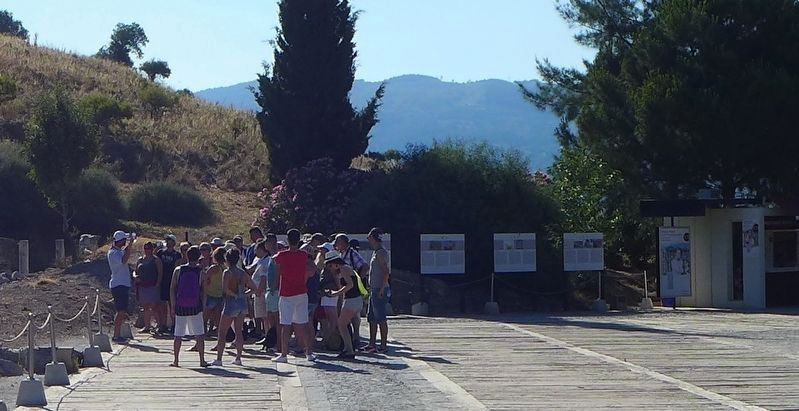
Other nearby markers. At least 8 other markers are within walking distance of this marker. The Early Ephesos (here, next to this marker); Roman Ephesos (here, next to this marker); Byzantine Ephesos (here, next to this marker); Research History of Ephesos (here, next to this marker); Ancient Ephesos (a few steps from this marker); Baths at the 'State Agora' (within shouting distance of this marker); Processional Way (within shouting distance of this marker); The 'State Agora' (within shouting distance of this marker). Touch for a list and map of all markers in Acarlar.
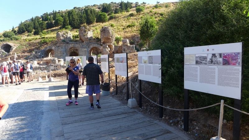
More about this marker. This marker is one of the many markers that are situated at the archaeological park that displays the ruins of the ancient city of Ephesus. One web site boasts that the ruins that one can see and experience at Ephesus are, "better than Rome itself," and although some of the artifacts found in this area have been dated back to about 6,000 BC, most of what the visitors to the archaeological park see, date back to the glory years of Greece and Rome.
Credits. This page was last revised on February 2, 2022. It was originally submitted on March 8, 2018, by Dale K. Benington of Toledo, Ohio. This page has been viewed 212 times since then and 10 times this year. Photos: 1, 2, 3, 4, 5, 6, 7. submitted on March 8, 2018, by Dale K. Benington of Toledo, Ohio.
