Near Trinity in Lawrence County, Alabama — The American South (East South Central)
Boxwood Plantation
Photographed by Sandra Hughes, March 3, 2018
1. Boxwood Plantation Marker
(side 1)
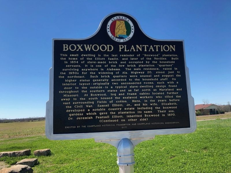
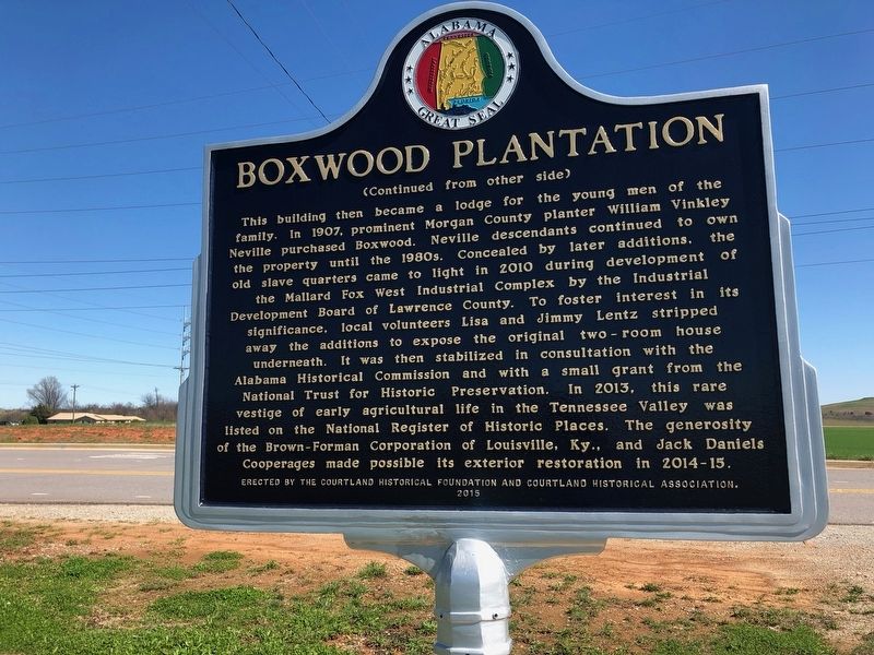
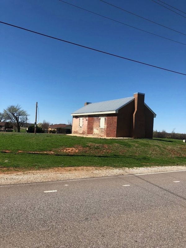
This small dwelling is the last reminder of "Boxwood" plantation, the home of the Elliot family, and later of the Nevilles. Built-in 1854 of slave-made brick and occupied by the household servants it is one of the few brick plantation "quarters" surviving anywhere in Alabama. The main residence, razed in the 1950s for the widening of Alabama Highway 20, stood just to the northeast. Such brick quarters were unusual and suggest the higher status generally accorded to the household staff. its door to the outside is a typical slave-dwelling design found throughout the southern states and as far north as Maryland and Missouri. At Boxwood, log and frame cabins located further away to the south housed the enslaved workers who tilled the vast surrounding fields of cotton. Here, in the years before the Civil War, Samuel Elliott, Jr., and his wife, Elizabeth, developed a notable country estate including the boxwood gardens which gave the plantation its name. Their son, Dr. Jeremiah Pearsall Elliott, inherited Boxwood in 1870.
this page online
Erected 2015 by the Courtland Historical Foundation and Courtland Historical Association.
Topics. This historical marker is listed in these topic lists: African Americans •
Photographed by Sandra Hughes, March 3, 2018
2. Boxwood Plantation Marker
Location. 34° 38.038′ N, 87° 6.815′ W. Marker is near Trinity, Alabama, in Lawrence County. It is at the intersection of Cooperage Way (County Route 700) and Alabama Route 20, on the right when traveling south on Cooperage Way. Touch for map. Marker is in this post office area: Trinity AL 35673, United States of America. Touch for directions.

Regionally, this marker is in North Alabama. It is also in the American South, specifically in the Deep South, in Appalachia, and specifically in Southern Appalachia. Globally, it is in North America, a Gulf of Mexico state, the Western Hemisphere, the Western World, and the Anglosphere. Historically, it finds itself in what was once the territory of the Mississippian Culture, one of the Confederate States of America, and the Antebellum South.
Other nearby markers. At least 8 other markers are within 8 miles of this marker, measured as the crow flies: All Gave Some — Some Gave All (approx. 5.7 miles away); The Borghinis (approx. 5.7 miles away); Rough Riders Park (approx. 6½ miles away); Lest We Forget
Photographed by Sandra Hughes, March 3, 2018
3. Boxwood Plantation Marker
Also see . . . Samuel Elliot Jr. Samuel Elliott Jr. was a Director of the Memphis and Charleston Railroad, but his first love was farming and in the 1850s he built Boxwood Plantation located just a few miles East of this cemetery. (Submitted on March 8, 2018, by Sandra Hughes Tidwell of Killen, Alabama, USA.)
Credits. This page was last revised on March 8, 2018. It was originally submitted on March 8, 2018, by Sandra Hughes Tidwell of Killen, Alabama, USA. This page has been viewed 2,076 times since then and 145 times this year. Photos: 1, 2, 3. submitted on March 8, 2018, by Sandra Hughes Tidwell of Killen, Alabama, USA. • Bernard Fisher was the editor who published this page.
