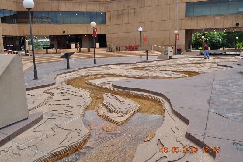
Memphis in Shelby County, Tennessee — The American South (East South Central)
Island No. 20/Cottonwood Point/Booth Point, Tennessee/Linwood Bend
Panel #57 Mississippi Riverwalk
Inscription.
A) Island No. 20
Mile 8290 AHP
The wandering geography of Island No. 20 illustrates the Mississippi River's erratic nature. Navigation charts of 1801 show the island lying near the west bank. Later, the river moved and placed the island close to the Tennessee bank. Then, once again the river changed paths, leaving Island No. 20, still Tennessee territory, permanently attached to the Missouri shore.
B) Cottonwood Point
Mile 832.9 AHP
The tall trees that gave this point its name were abundant along this part of the river, and several nearby wood yards provided steamboats with cottonwoods for fuel. Early settlers used the easily split timber for their cabins and stockades. Under good conditions the trees grow very fast, up to seven feet a year, and a number of cottonwood plantations have been established in the Lower Mississippi Valley to produce pulpwood.
C) Booth Point, Tennessee
Mile 839.0 AHP
In 1860, a well known steamer, A.T. Lacy, was just approaching Booth Point when it caught fire. The pilot quickly ran the boat to shore, but many passengers panicked, jumped overboard, and drowned. The boat's clerk grabbed the owner, A.T. Lacy's daughter, went over the rail and swam for shore with the girl on his back. They were just short of the bank when a large tree floated around the bend, caught the child's clothing and swept her under. The village of Booth Point disappeared at the end of the steamboat era.
D) Linwood Bend
Mile 840.0 AHP
This dangerous curve was a graveyard for wrecked steamboats in the mid-1800's. It was named for the Linwood, which sank at the head of the bend in 1847. An 1847 map shows four wrecked boats in the channel, numerous sandbars, and an enormous pile of driftwood at the top of the bend.
Erected by Mississippi Riverwalk. (Marker Number 57.)
Topics. This historical marker is listed in these topic lists: Disasters • Settlements & Settlers • Waterways & Vessels.
Location. 35° 8.968′ N, 90° 3.507′ W. Marker is in Memphis, Tennessee, in Shelby County. Marker can be reached from Island Drive, 0.8 miles south of West A.W. Willis Avenue when traveling south. Located in Mud Island River Park. Touch for map. Marker is at or near this postal address: 125 N Front Street, Memphis TN 38103, United States of America. Touch for directions.
Other nearby markers. At least 8 other markers are within walking distance of this marker. The Mississippi Riverwalk (here, next to this marker); Ohio River (here, next to this marker); Cairo, Illinois (here, next to this marker); Islands No. 2, 3, and 4 / Fort Jefferson, Kentucky / Bird’s Point, Missouri
(here, next to this marker); Island No. 5 (Wolf Island)/Belmont, Missouri/Columbus, Kentucky (here, next to this marker); Donaldson Point, Missouri/Island No. 8/Hickman, Kentucky/Dorena Crevasse (here, next to this marker); New Madrid, Missouri/Cates Casting Field/Island No. 10 (here, next to this marker); Tiptonville, Tennessee/Bixby Towhead (here, next to this marker). Touch for a list and map of all markers in Memphis.
Credits. This page was last revised on March 8, 2018. It was originally submitted on March 8, 2018, by Sandra Hughes Tidwell of Killen, Alabama, USA. This page has been viewed 421 times since then and 31 times this year. Photos: 1, 2. submitted on March 8, 2018, by Sandra Hughes Tidwell of Killen, Alabama, USA. • Bernard Fisher was the editor who published this page.

