Near Spring Garden in Cherokee County, Alabama — The American South (East South Central)
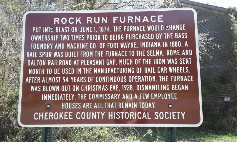
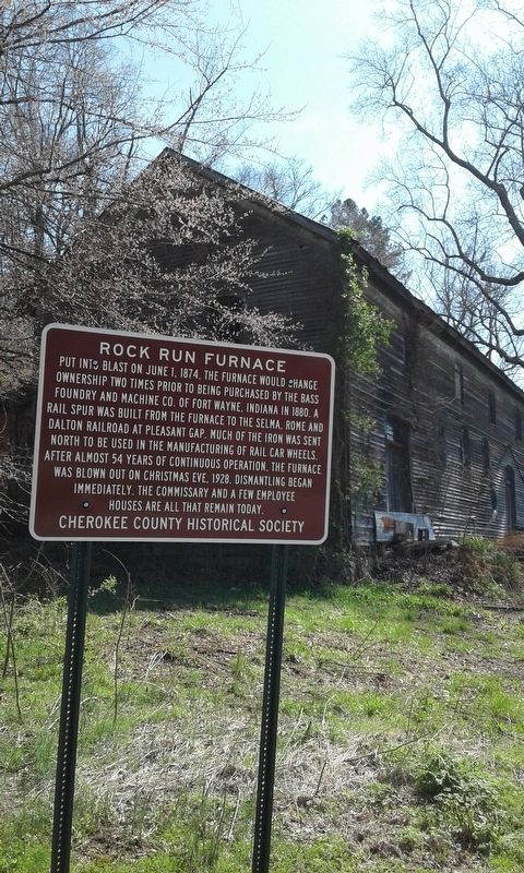
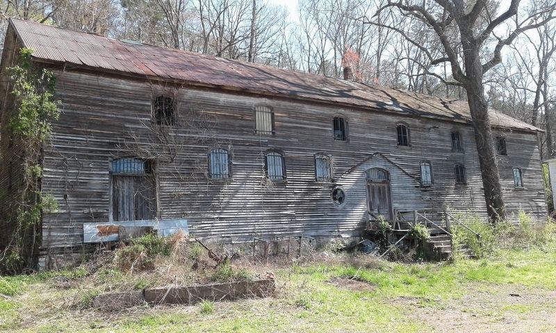
Rock Run Furnace
Erected by Cherokee County Historical Society.
Topics and series. This historical marker is listed in these topic lists: Industry & Commerce • Railroads & Streetcars. In addition, it is included in the Appalachian Iron Furnaces series list. A significant historical date for this entry is June 1, 1874.
Location. 34° 1.695′ N, 85° 29.623′ W. Marker is near Spring Garden, Alabama, in Cherokee County. Marker is at the intersection of County Route 29 and County Route 45, on the right when traveling north on County Route 29. Touch for map. Marker is in this post office area: Piedmont AL 36272, United States of America. Touch for directions.
Other nearby markers. At least 8 other markers are within 10 miles of this marker, measured as the crow flies. Site of Bluffton (approx. 3 miles away); Spring Garden School (approx. 4.1 miles away); Spring Garden (approx. 5.1 miles away); Carmel Presbyterian Church (approx. 6˝ miles away); Ladiga Cavalry Skirmish (approx. 6.7 miles away); Cherokee County's Paul Revere (approx. 7.8 miles away); The Alabama Tennessee River Railroad (approx. 9.8 miles away); First Presbyterian Church (approx. 9.9 miles away). Touch for a list and map of all markers in Spring Garden.
Credits. This page was last revised on February 9, 2020. It was originally submitted on March 10, 2018, by Angela Nichols of Centre, Alabama. This page has been viewed 757 times since then and 56 times this year. Photos: 1, 2, 3. submitted on March 13, 2018, by Angela Nichols of Centre, Alabama. • Bernard Fisher was the editor who published this page.


