Eastport in Anne Arundel County, Maryland — The American Northeast (Mid-Atlantic)
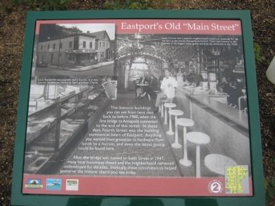
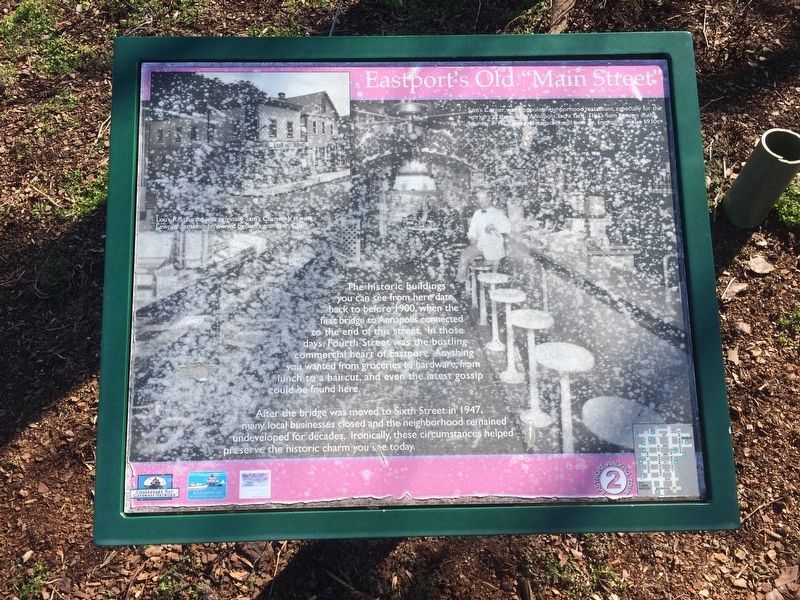
Eastport's Old "Main Street"
After the bridge was moved to Sixth Street in 1947, many local businesses closed and the neighborhood remained undeveloped for decades. Ironically, these circumstances helped preserve the historic charm you see today.
Text with main photo: Sam's Corner was a popular neighborhood restaurant, especially for the workers at the nearby Annapolis Yacht Yard. That's Sam Lewnes at the counter in his dapper white jacket and bow tie, sometime in the 1930s.
Text with upper-left photo: Lou's Restaurant was originally Sam's Corner. It is now Lewnes' Steakhouse, owned by Sam's grandson, Charlie.
Erected by Chesapeake Bay Gateways Network, Annapolis Maritime Museum, Four Rivers Garden Club.
Topics. This historical marker is listed in these topic lists: Bridges & Viaducts • Industry & Commerce • Settlements & Settlers • Waterways & Vessels. A significant historical year for this entry is 1900.
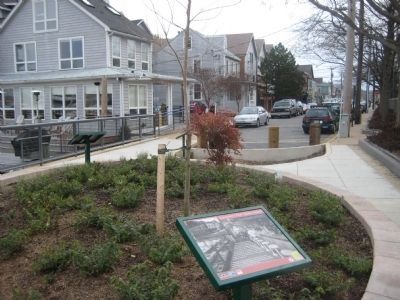
Location. 38° 58.326′ N, 76° 28.985′ W. Marker has been damaged. Marker is in Eastport, Maryland, in Anne Arundel County. Marker is on Fourth Street, 0 miles north of Severn Avenue when traveling north. Marker is at the end of Fourth Street. Touch for map. Marker is in this post office area: Annapolis MD 21403, United States of America. Touch for directions.
Other nearby markers. At least 8 other markers are within walking distance of this location. A Tale of Three Bridges (here, next to this marker); Arnold C. Gay (here, next to this marker); Three Great Boat Yards, One Location (about 600 feet away, measured in a direct line); On to Yorktown (about 600 feet away); Welcome to Eastport (about 600 feet away); Lafayette’s Encampment (about 700 feet away); Eastport Veterans Park (about 700 feet away); The Glass Works (approx. 0.2 miles away). Touch for a list and map of all markers in Eastport.
More about this marker. Marker has significant weather damage but remains readable.
Credits. This page was last revised on January 4, 2020. It was originally submitted on February 23, 2008, by F. Robby of Baltimore, Maryland. This page has been viewed 1,586 times since then and 13 times this year. Last updated on March 11, 2018, by Devry Becker Jones of Washington, District of Columbia. Photos: 1. submitted on February 23, 2008, by F. Robby of Baltimore, Maryland. 2. submitted on March 11, 2018, by Devry Becker Jones of Washington, District of Columbia. 3. submitted on February 23, 2008, by F. Robby of Baltimore, Maryland. • Andrew Ruppenstein was the editor who published this page.


