
Taylors Island in Dorchester County, Maryland — The American Northeast (Mid-Atlantic)
Old Schoolhouse
Photographed by Allen C. Browne, March 5, 2018
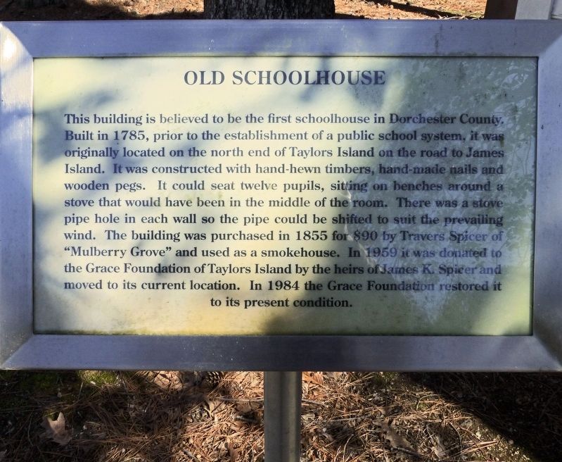
1. Old Schoolhouse Marker
Topics. This historical marker is listed in this topic list: Education. A significant historical year for this entry is 1785.
Location. 38° 28.254′ N, 76° 18.52′ W. Marker is on Taylors Island, Maryland, in Dorchester County. It can be reached from Hooper Neck Road. Touch for map. Marker is at or near
this page online

Regionally, this marker is on the Eastern Shore. It is also in the American Mid-Atlantic, on the Delmarva Peninsula, in the Tidewater, in the Chesapeake Bay Region, and on the Eastern Seaboard. Globally, it is in the North Atlantic Region, North America, the Western Hemisphere, the Western World, and the Anglosphere. Historically, it finds itself in what was once one of the original Thirteen Colonies and also the Antebellum South.
Other nearby markers. At least 8 other markers are within walking distance of this marker: Chapel of Ease (a few steps from this marker); Grace Episcopal Church (a few steps from this marker); First School House (a few steps from this marker); a different marker also named Chapel of Ease (within shouting distance of this marker); Trapped (approx. 0.8 miles away); The Becky Phipps (approx. 0.8 miles away); Battle of the Ice Mound (approx. 0.8 miles away); Bethlehem Methodist Episcopal Church (approx. 0.9 miles away). Touch for a list and map of all markers in Taylors Island.
Photographed by Allen C. Browne, March 5, 2018
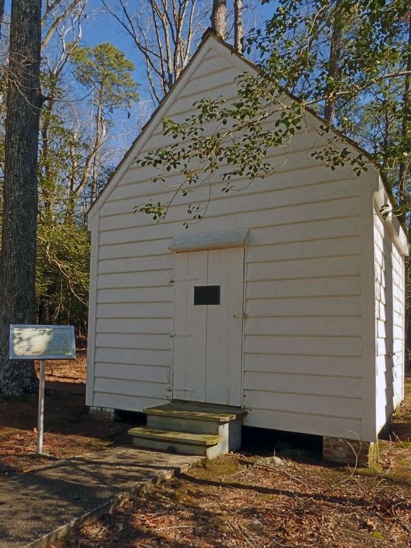
2. Old Schoolhouse Marker

Photographed by Allen C. Browne, March 5, 2018
3. This Building
Was the First School House
in Dorchester County
Was the First School House
in Dorchester County
on Taylors Island
Given to Grace Foundation by
The Mulberry Grove Spicers
Restored by Grace Foundation
1959
Photographed by Allen C. Browne, May 28, 2011
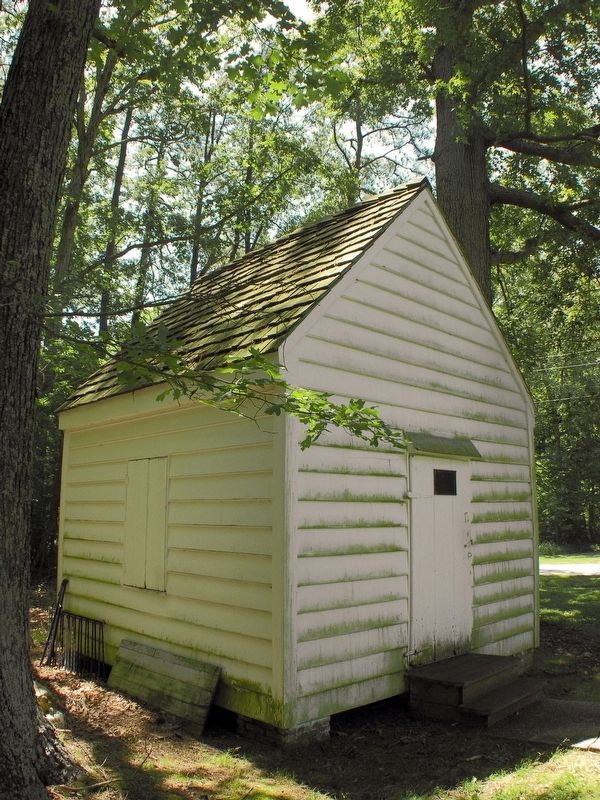
4. Old Schoolhouse
This marker was not present in 2011.
Credits. This page was last revised on March 19, 2018. It was originally submitted on March 15, 2018, by Allen C. Browne of Silver Spring, Maryland. This page has been viewed 613 times since then and 36 times this year. Photos: 1, 2, 3, 4. submitted on March 15, 2018, by Allen C. Browne of Silver Spring, Maryland. • Bill Pfingsten was the editor who published this page.
