Near Columbia in Houston County, Alabama — The American South (East South Central)
Omussee Creek Mound and the Ancestors of the Creeks
— Creek Heritage Trail —
Inscription.
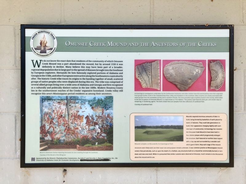
We do not know the exact date that residents of the community of which Omussee Creek Mound was a part abandoned the mound, but by around 1550 it was definitely in decline. Many believe this may have been part of a broader, regional depopulation due in large part to the spread of diseases brought into the Southeast by European explorers. Hernando De Soto famously explored portions of Alabama and Georgia in the 1540s, and other Europeans were active along the Southeastern coasts shortly after. The historic Creek tribe traces its origins to the banding together of small, scattered groups of native peoples who were displaced during this era. The tribe was comprised of several allied groups living over a wide area of Alabama and Georgia and first recognized as a culturally and politically distinct nation in the late 1600s. Modern Houston County lies in the southernmost reaches of the Creeks' expansive homeland. Creeks today still recognize this area's Mississippian period residents as among their ancestors.
Inset
Mounds required enormous amounts of labor to build, being formed by basketfuls of earth placed by teams of laborers. They could take generations to build, their appearance changing slightly with each new layer of construction. Archaeology has revealed the Omussee Creek Mound to have been built in four distinct phases which progressively enlarged the structure. Each featured an earthen base topped with a clay cap and surrounded by a wooden wall which gave it form. Atop each stage of the mound structures were likely built, but their exact size and purpose remains unknown. It was common practice at Mississippian mound centers that periodically, such as upon the death of a chieftain, any structures built on a mound be ceremonially burned or torn down and new ones built. While it is presumed that similar customs were observed at Omussee, much remains to be discovered about the mound and its use.
Captions
Bottom left: Mural in downtown Dothan depicting Hernando De Soto traveling through the Southeast. Courtesy of the Murals of the Wiregrass
Top right: Archaeological investigations undertaken by the Smithsonian Institution and other entities have discovered pottery here that originated from groups further north in the Chattahoochee River valley and elsewhere in the southeast. Most ceramics are closely associated with native groups from the immediate vicinity and in northern Florida. The most prevalent type of pottery found in this vicinity, which dates to the last occupation of Omussee Mound, is a style known as "Fort Walton." This pottery style features sand, grit, and certain clays as tempering, or hardening, agents. The items shown
here are samples from the collections of Landmark Park. Courtesy of Landmark Park
Bottom right: Mound complex at Moundville Archaeological Park
Erected 2015 by the Historic Chattahoochee Commission, the John P. and Dorothy S. Illges Foundation, Inc., the University of Alabama Center for Economic Development.
Topics. This historical marker is listed in these topic lists: Exploration • Native Americans • Settlements & Settlers. A significant historical year for this entry is 1550.
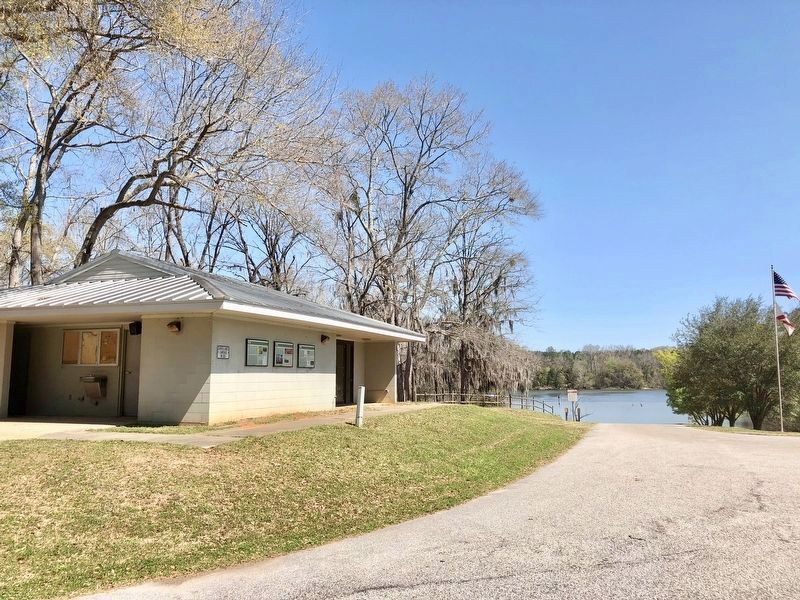
Location. 31° 16.589′ N, 85° 7.002′ W. Marker is near Columbia, Alabama, in Houston County. Marker is on Omussee Creek Road, half a mile north of Picnic Road, on the right when traveling north. Located near the Omussee Creek Park boat ramp. Touch for map. Marker is at or near this postal address: Omussee Creek Road, Columbia AL 36319, United States of America. Touch for directions.
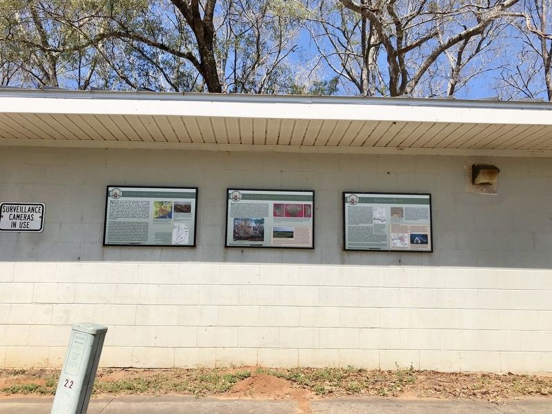
Other nearby markers. At least 8 other markers are within 2 miles of this marker, measured as the crow flies. Omussee Creek Mound and Mississippian Period Societies (here, next to this marker); The Chacato People (here, next to this marker); Old Columbia Jail / Columbia (approx. 1.1 miles away); Columbia Elementary School Bell (approx. 1.1 miles away); Columbia, Alabama (approx. 1.2 miles away); Columbia Methodist Episcopal Church, South
(approx. 1.2 miles away); Columbia Cemetery (approx. 1.2 miles away); Columbia Baptist Church (approx. 1.3 miles away). Touch for a list and map of all markers in Columbia.
Credits. This page was last revised on March 16, 2018. It was originally submitted on March 15, 2018, by Mark Hilton of Montgomery, Alabama. This page has been viewed 992 times since then and 115 times this year. Photos: 1, 2, 3, 4. submitted on March 15, 2018, by Mark Hilton of Montgomery, Alabama.


