
Edwards AFB in Kern County, California — The American West (Pacific Coastal)
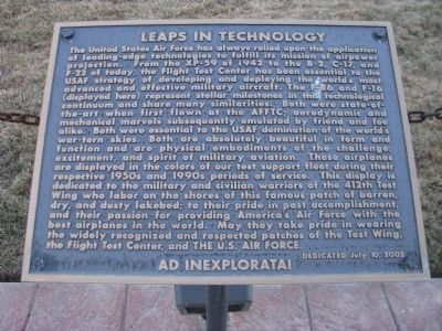
Leaps in Technology
Photographed by Denise Boose, January 17, 2013
1. Leaps in Technology Marker
this page online
Dedicated July 10, 2002.
AD INEXPLORATA!
Erected 2002.
Topics. This historical marker is listed in these topic lists: Air & Space • Military. A significant historical date for this entry is July 10, 2002.
Location. 34° 55.305′ N, 117° 53.628′ W. Marker is in Edwards AFB, California, in Kern County. It can be reached from Popson Avenue near Wolfe Avenue, on the left when traveling west. Edwards Air Force Base is not open to the public. Touch for map. Marker is at or near this postal address: Bldg 2750 Popson Avenue, Edwards CA 93524, United States of America. Touch for directions.

Regionally, this marker is in California’s San Joaquin Valley, specifically in the Central Valley, in the Mojave Desert, and in the Sierra Nevada. It is also on the American Pacific Coast. Globally, it is in North America, on the Ring of Fire, in the Pacific Rim, in the Western Hemisphere,
Photographed by Denise Boose, January 17, 2013
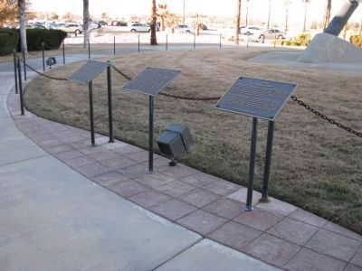
2. Leaps in Technology Marker
This marker is visible in the middle.
Other nearby markers. At least 8 other markers are within 2 miles of this marker, measured as the crow flies: F-86F (here, next to this marker); F-16B (here, next to this marker); Bell XP-59A Jet Aircraft (approx. 0.3 miles away); Sound Barrier Cracked (approx. 0.4 miles away); The Medal of Honor (approx. half a mile away); Rocket Engine NF-104A (approx. half a mile away); Jackie Cochran (approx. 0.8 miles away); F-111A "Aardvark" (approx. 1.6 miles away). Touch for a list and map of all markers in Edwards AFB.
Photographed by Denise Boose, January 17, 2013
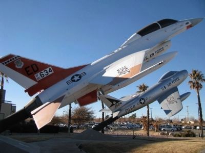
3. F-16B on the left and F-86F "Sabre" on the right.
Photographed by Denise Boose, January 17, 2013
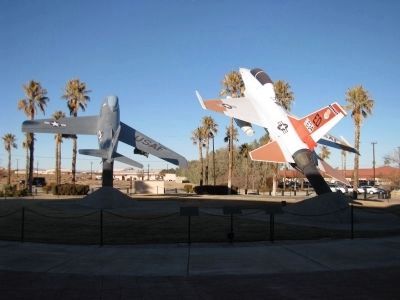
4. F-86F "Sabre" on the left and the F-16B on the right.
Credits. This page was last revised on February 22, 2026. It was originally submitted on March 3, 2013, by Denise Boose of Tehachapi, California. This page has been viewed 630 times since then and 9 times this year. Last updated on March 16, 2018, by Craig Baker of Sylmar, California. Photos: 1, 2, 3, 4. submitted on March 3, 2013, by Denise Boose of Tehachapi, California. • Andrew Ruppenstein was the editor who published this page.
