Bakersfield in Kern County, California — The American West (Pacific Coastal)
Kern County Hall of Records
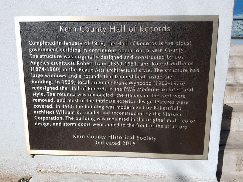
Photographed by Denise Boose, March 16, 2018
1. Kern County Hall of Records Marker
Erected by Kern County Historical Society. (Marker Number 2015.)
Topics. This historical marker is listed in this topic list: Notable Buildings. A significant historical month for this entry is January 1909.
Location. 35° 22.421′ N, 119° 1.153′ W. Marker is in
this page online

Regionally, this marker is in the San Joaquin Valley, specifically in the Central Valley, and in the Sierra Nevada. It is also on the American Pacific Coast. Globally, it is in North America, on the Ring of Fire, on the Pacific Rim, in the Western Hemisphere, in the Western World, and in the Anglosphere. Historically, it finds itself in what was once New Spain and also Mexico’s Alta California.
Other nearby markers. At least 8 other markers are within walking distance of this marker: Colonel Thomas Baker (within shouting distance of this marker); Kern County Courthouse (about 300 feet away, measured in a direct line); Kern County Vietnam War Memorial (about 300 feet away); Haberfelde Building (about 400 feet away); Bakersfield Californian (about 400 feet away); Alphonse Weill Residence (about 600 feet away); First Presbyterian Church (approx. 0.2 miles away); Livermore and Chester Store
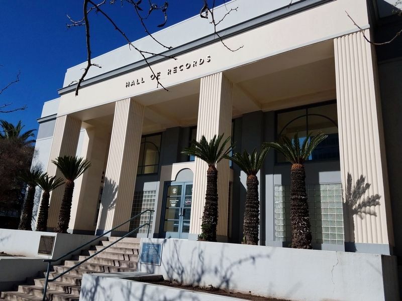
Photographed by Denise Boose, March 16, 2018
2. Kern County Hall of Records and Marker
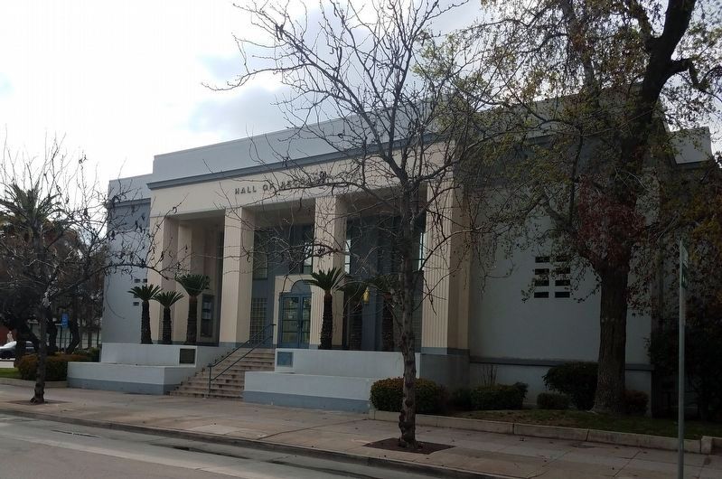
Photographed by Denise Boose, March 11, 2018
3. Kern County Hall of Records
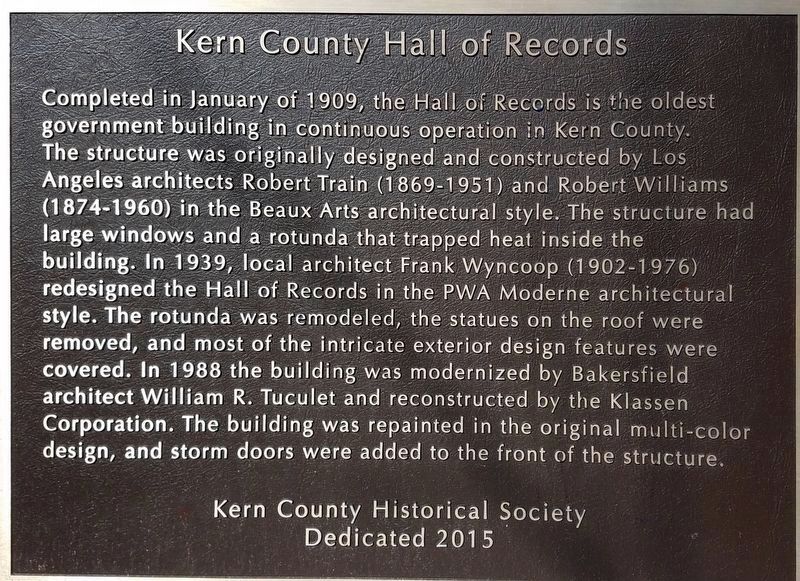
Photographed by Denise Boose, March 16, 2018
4. Kern County Hall of Records Marker
Credits. This page was last revised on October 25, 2025. It was originally submitted on March 16, 2018, by Denise Boose of Tehachapi, California. This page has been viewed 935 times since then and 44 times this year. Photos: 1, 2, 3. submitted on March 16, 2018, by Denise Boose of Tehachapi, California. 4. submitted on October 18, 2025, by Denise Boose of Tehachapi, California. • Andrew Ruppenstein was the editor who published this page.
