North Virginia Beach , Virginia — The American South (Mid-Atlantic)
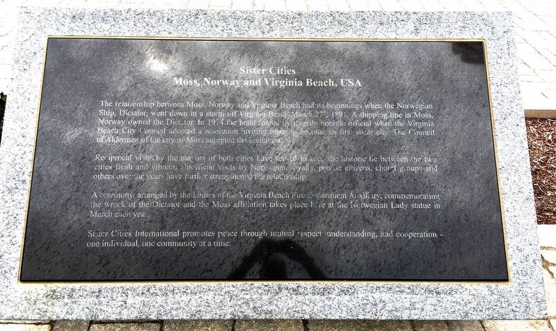
Sister Cities
Moss, Norway and Virginia Beach, USA
Reciprocal visits by the mayors of both cities have served to keep the historic tie between the two cities fresh and vibrant. Unofficial visits by Norwegian royalty, private citizens, choral groups and others over the years have further strengthened the relationship.
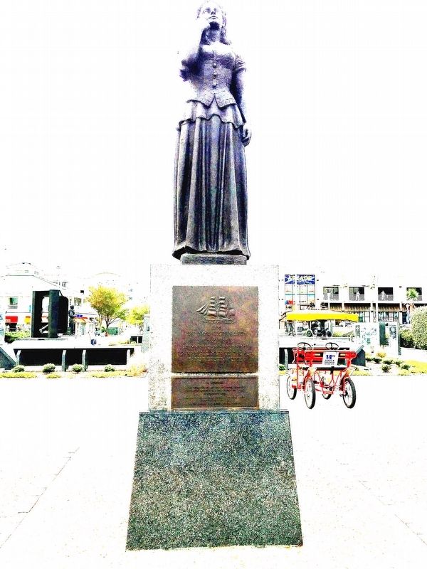
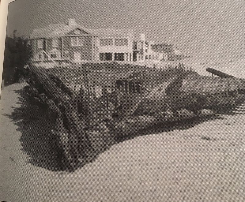
A ceremony arranged by the Ladies of the Virginia Beach Fire Department Auxiliary, commemorating the wreck of the Dictator and the Moss affiliation takes place here at the Norwegian Lady statue in March each year.
Sister Cities International promotes respect, understanding, and cooperation – one individual, one community at a time.
Topics. This historical marker is listed in these topic lists: Disasters • Industry & Commerce • Waterways & Vessels. A significant historical date for this entry is March 27, 1891.
Location. 36° 51.218′ N, 75° 58.549′ W. Marker is in Virginia Beach, Virginia. It is in North Virginia Beach. Marker can be reached from the intersection of Atlantic Avenue and 25th Street, on the left when traveling south. The marker is located just east of the Naval Aviation Monument Park and just west of the Virginia Beach boardwalk. Touch for map. Marker is in this post office area: Virginia Beach VA 23451, United States of America. Touch for directions.
Other nearby markers. At least 8 other markers are within walking distance of this marker. The Wreck of the Dictator and The Norwegian Lady Statue (a few steps from this marker); Naval Aviation Monument Park (within shouting distance of this marker); Naval Air Station Oceana (within shouting distance of this marker); 24th Street Park (about 500 feet away, measured in a direct line); U-boats Off the Mid-Atlantic Coast (about 500 feet away); Outer planking from a vessel (about 500 feet away); Stern piece of a ship (about 500 feet away); A portion of the engine from the George Farwell (about 500 feet away). Touch for a list and map of all markers in Virginia Beach.
Credits. This page was last revised on February 1, 2023. It was originally submitted on March 19, 2018, by Brandon D Cross of Flagler Beach, Florida. This page has been viewed 326 times since then and 37 times this year. Photos: 1, 2, 3. submitted on March 19, 2018, by Brandon D Cross of Flagler Beach, Florida. • Bernard Fisher was the editor who published this page.


