Santa Barbara in Santa Barbara County, California — The American West (Pacific Coastal)
Moreton Bay Fig Tree
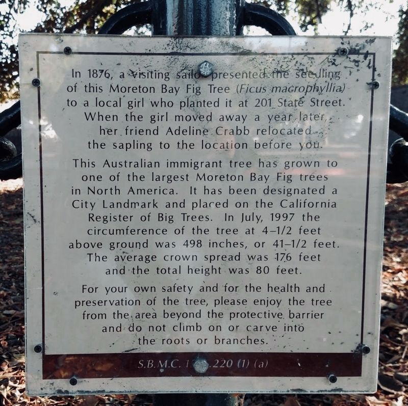
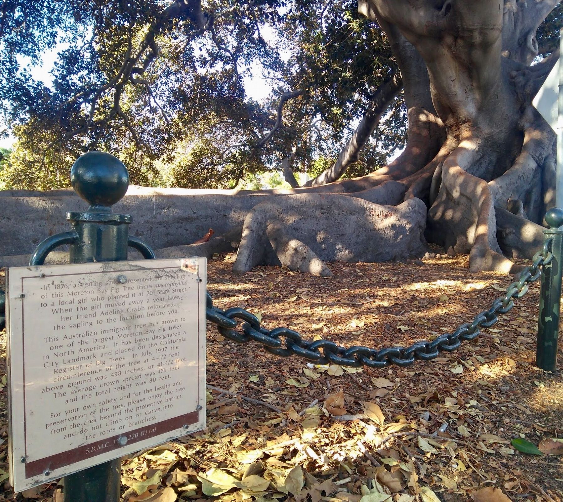
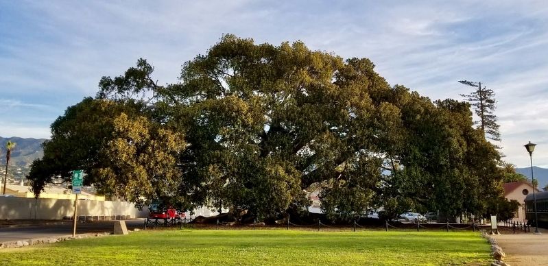
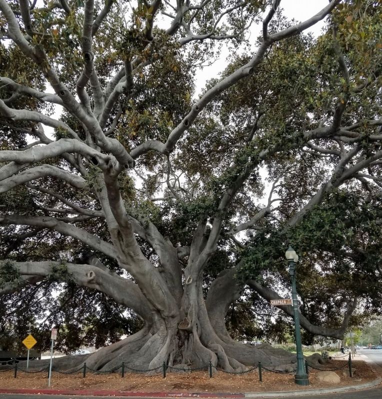
This Australian immigrant tree has grown to one of the largest Moreton Bay Fig trees in North America. It has been designated a City Landmark and placed on the California Register of Big Trees. In July 1997 the circumference of the tree at 4-1/2 feet above ground was 41-1/2 feet. The average crown spread was 176 feet, and the total height was 80 feet.
Topics and series. This historical marker is listed in this topic list: Landmarks. In addition, it is included in the Historic Trees series list.
Location. 34° 24.819′ N, 119° 41.638′ W. Marker is in Santa Barbara, California, in Santa Barbara County. Marker is at the intersection of Montecito Street and Chapala Street on Montecito Street. At the corner of West Montecito Street and Chapala Street, near the Amtrak station. Touch for map. Marker is in this post office area: Santa Barbara CA 93101, United States of America. Touch for directions.
Other nearby markers. At least 8 other markers are within walking distance of this marker. Private Railcar Spurs (within shouting distance of this marker); El Capitán Portolá (within shouting distance of this marker); Bridge MP 36729 Santa Barbara Subdivision (about 300 feet away, measured in a direct line); Santa Barbara Railroad Station (about 500 feet away); Trades Union Building (approx. 0.2 miles away); Fly To-Day (approx. 0.2 miles away); Hotel Virginia (approx. 0.2 miles away); Burton Mound (approx. 0.2 miles away). Touch for a list and map of all markers in Santa Barbara.
Credits. This page was last revised on January 20, 2024. It was originally submitted on March 20, 2018, by Craig Baker of Sylmar, California. This page has been viewed 426 times since then and 69 times this year. Photos: 1, 2, 3, 4. submitted on March 20, 2018, by Craig Baker of Sylmar, California. • Andrew Ruppenstein was the editor who published this page.


