Marker Logo HMdb.org THE HISTORICAL
MARKER DATABASE
“Bite-Size Bits of Local, National, and Global History”
Near Acarlar in Selçuk, İzmir, Turkey — West Asia or Southeast Europe
 

The Varius Bath


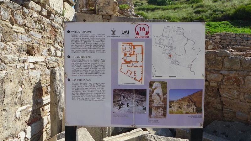
The Varius Bath Marker image. Click for full size.
Photographed By Dale K. Benington, June 21, 2015
1. The Varius Bath Marker
Inscription.
The Varius Bath
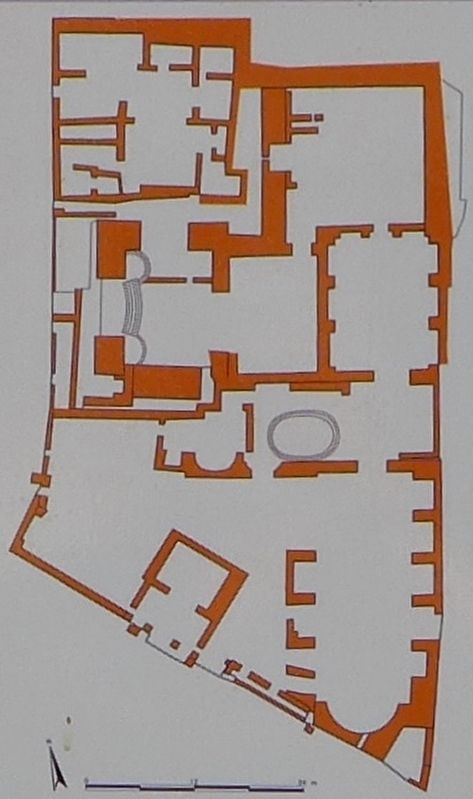
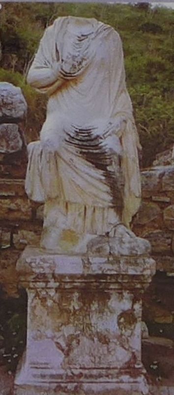
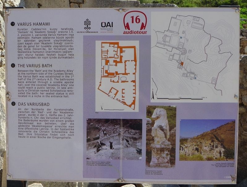
Between the 'Bath' and the 'Academy Alley' at the northern side of the Curetes Street, the Varius Bath was established in the 1st half of the 2nd century A.D. The bathrooms were entered through a sizable apsidal hall; over the covered 'Academy Alley' one could reach a public latrine. In late antiquity a Christian named Scholasticia renovated renovated the bath: her seated statue is still located in a niche in the entrance hall.
 
Erected by Republic of Turkey Ministry of Culture and Tourism, and the Österreichisches Archaeology Institute.
 
Topics. This historical marker is listed in this topic list: Settlements & Settlers.
 
Location. 37° 56.302′ N, 27° 20.529′ E. Marker is near Acarlar, İzmir, in Selçuk. Marker can be reached from Efes Yolu just south of Dr. Sabri Yayla Boulevard (Route D515) when traveling south. The marker is in an archaeological park that is about 3 km (2 miles) southeast of Selçuk. Touch for map. Marker is in this post office area: Acarlar, İzmir 35920, Turkey. Touch for directions.
 
Other nearby markers. At least 8 other markers are within walking distance of this marker. Terrace House 1 (a few steps from this marker); The So-Called Alytarchs' Stoa (a few steps from this marker); The Temple of Hadrian (within shouting distance of this marker);
Paid Advertisement
Click on the ad for more information.
Please report objectionable advertising to the Editor.
Click or scan to see
this page online
The Nymphaeum Traiani (within shouting distance of this marker); The Hellenistic Fountain and the Hexagon (within shouting distance of this marker); Terrace House 2 (within shouting distance of this marker); Peristyle Courtyard of Dwelling Unit 6 (within shouting distance of this marker); The Latrine (within shouting distance of this marker). Touch for a list and map of all markers in Acarlar.
 
More about this marker. This marker is one of the many markers that are situated at the archaeological park that displays the ruins of the ancient city of Ephesus. One web site boasts that the ruins that one can see and experience at Ephesus are, "better than Rome itself," and although some of the artifacts found in this area have been dated back to about 6,000 BC, most of what the visitors to the archaeological park see, date back to the glory years of Greece and Rome.
 
The Varius Bath Marker image. Click for full size.
Photographed By Dale K. Benington, June 21, 2015
2. The Varius Bath Marker
Close-up view of a drawing of the overhead floor-plan that is displayed on the marker. The English caption simply reads, "Plan."
The Varius Bath Marker image. Click for full size.
Photographed By Dale K. Benington, June 21, 2015
3. The Varius Bath Marker
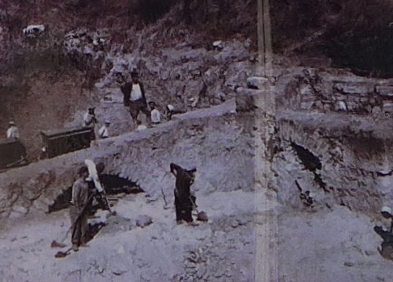
Close-up view of photograph that is displayed on the marker. The English caption reads, "Varius Bath excavation (1954)."
The Varius Bath Marker image. Click for full size.
Photographed By Dale K. Benington, June 21, 2015
4. The Varius Bath Marker
Close-up view of photograph that is displayed on the marker. The English caption reads, "Statue of Scholasticia."
The Varius Bath Marker image. Click for full size.
Photographed By Dale K. Benington, June 21, 2015
5. The Varius Bath Marker
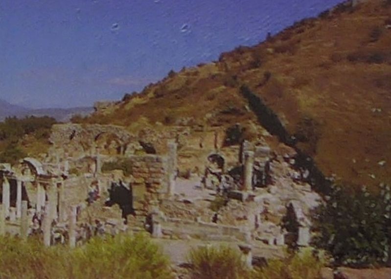
Close-up view of photograph that is displayed on the marker. The English caption reads, "The Varius Bath from the south,"
The Varius Bath Marker image. Click for full size.
Photographed By Dale K. Benington, June 21, 2015
6. The Varius Bath Marker
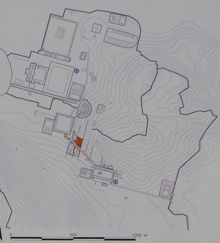
Close-up view of a topographical map that is displayed on the marker. The map shows an overhead view of the layout of the city, with the location of, The 'Varius Bath' being highlighted in orange.
The Varius Bath Marker image. Click for full size.
Photographed By Dale K. Benington, June 21, 2015
7. The Varius Bath Marker
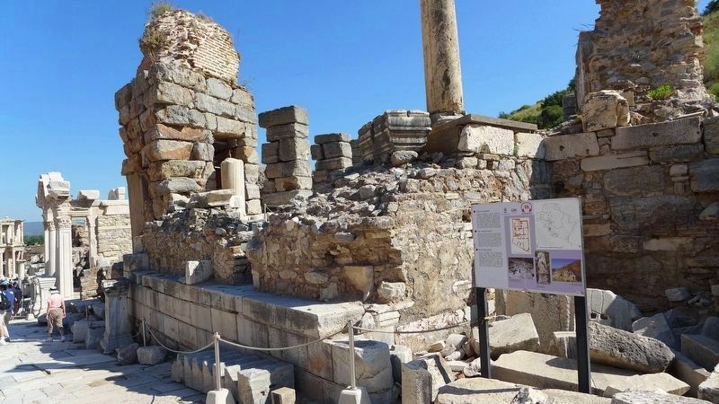
View of the marker looking north along the east side of Curetes Street at some of the ruins in the archaeological park.
The Varius Bath Marker image. Click for full size.
Photographed By Dale K. Benington, June 21, 2015
8. The Varius Bath Marker
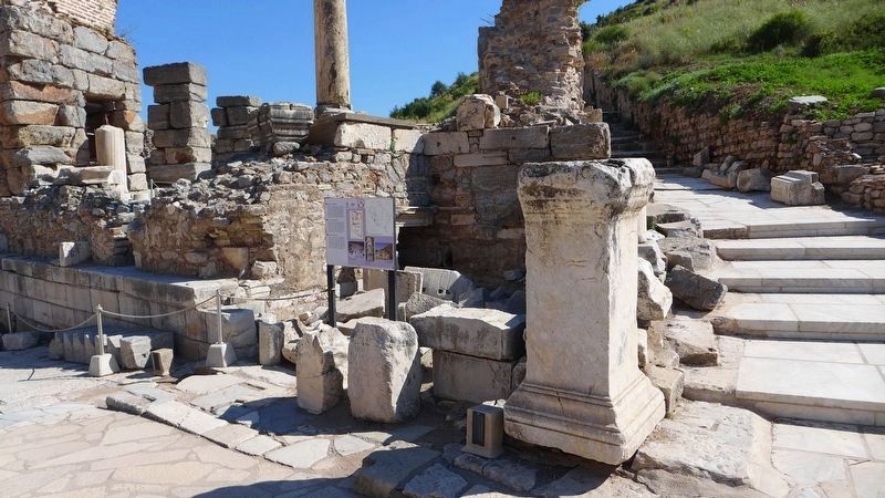
View of the marker looking north along a secondary walkway.
The Varius Bath Marker image. Click for full size.
Photographed By Dale K. Benington, June 21, 2015
9. The Varius Bath Marker
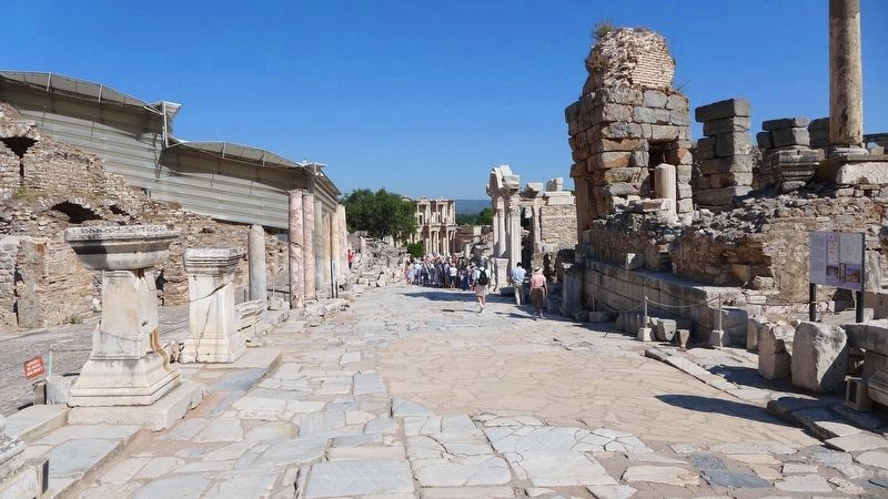
View looking northwest along Curetes Street, from the area in front of the featured marker (seen to the extreme right of picture), towards the Celsus Library.
The Varius Bath Marker image. Click for full size.
Photographed By Dale K. Benington, June 21, 2015
10. The Varius Bath Marker
 
 
Credits. This page was last revised on February 2, 2022. It was originally submitted on March 22, 2018, by Dale K. Benington of Toledo, Ohio. This page has been viewed 136 times since then and 8 times this year. Photos:   1, 2, 3, 4, 5, 6, 7, 8, 9, 10. submitted on March 22, 2018, by Dale K. Benington of Toledo, Ohio.
Share this page.  
Share on Tumblr
m=115278

CeraNet Cloud Computing sponsors the Historical Marker Database.
This website earns income from purchases you make after using our links to Amazon.com. We appreciate your support.
Paid Advertisement
Apr. 18, 2024