Jackson in Hinds County, Mississippi — The American South (East South Central)
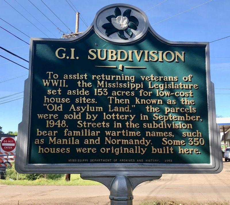
G.I. Subdivision
Photographed by Mark Hilton, March 22, 2018
1. G.I. Subdivision Marker
Erected 2003 by the Mississippi Department of Archives and History.
Topics and series. This historical marker is listed in these topic lists: Military • Notable Buildings • Notable Places. In addition, it is included in the Mississippi State Historical Marker Program series list. A significant historical month for this entry is September 1948.
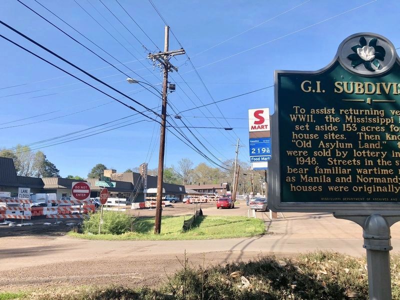
Location. 32° 21.528′ N, 90° 10.38′ W. Marker is in Jackson, Mississippi, in Hinds County. It is at the intersection of Robinhood Road and North State Street (U.S. 51), on the right when traveling east on Robinhood Road. Touch for map. Marker is at or near this postal address: 4716 N State St, Jackson MS 39206, United States of America. Touch for directions.

Regionally, this marker is in Natchez Trace Corridor. It is also in the American
this page online
Other nearby markers. At least 8 other markers are within 2 miles of this marker, measured as the crow flies: Farm Bell (approx. 1.7 miles away); The Escape Proof Jail of West, MS (approx. 1.8 miles away); The Oil Industry in Mississippi (approx. 1.8 miles away); Smoke House (approx. 1.8 miles away); Fortenberry-Parkman Farm (approx. 1.8 miles away); Union Battery Position (approx. 1.9 miles away); WJDX Radio Transmitter (approx. 2 miles away); Boys Baseball Association (approx. 2.1 miles away). Touch for a list and map of all markers in Jackson.
Photographed by Mark Hilton, March 22, 2018
2. G.I. Subdivision Marker at intersection of Robinhood Road & North State Street, looking north.
Photographed by Mark Hilton, March 22, 2018
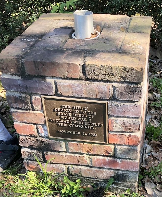
3. Veterans memorial next to marker.
Credits. This page was last revised on March 24, 2018. It was originally submitted on March 24, 2018, by Mark Hilton of Montgomery, Alabama. This page has been viewed 865 times since then and 55 times this year. Photos: 1, 2, 3. submitted on March 24, 2018, by Mark Hilton of Montgomery, Alabama.
