Seabrook in Rockingham County, New Hampshire — The American Northeast (New England)
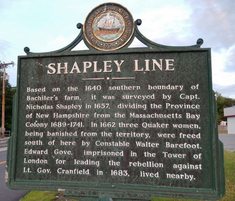
Shapley Line
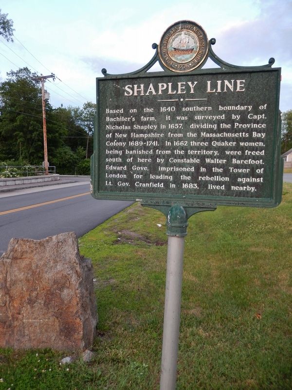
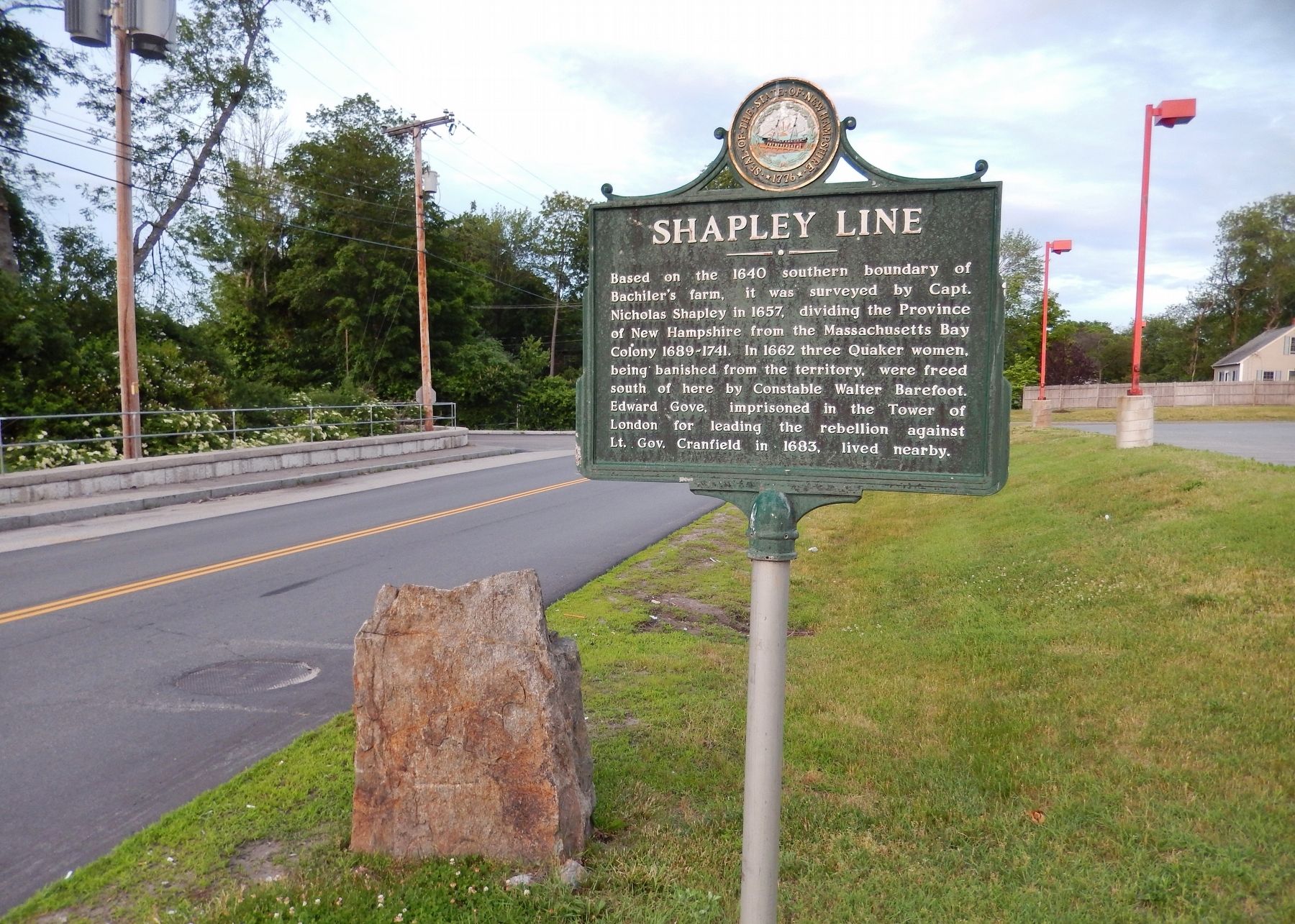
Based on the 1640 southern boundary of Bachiler's farm, it was surveyed by Capt. Nicholas Shapley in 1657, dividing the Province of New Hampshire from the Massachusetts Bay Colony 1689-1741. In 1662 three Quaker women, being banished from the territory, were freed south of here by Constable Walter Barefoot. Edward Gove, imprisoned in the Tower of London for leading the rebellion against Lt. Gov. Cranfield in 1683, lived nearby.
Erected 1975 by State of New Hampshire. (Marker Number 103.)
Topics and series. This historical marker is listed in these topic lists: Colonial Era • Settlements & Settlers. In addition, it is included in the Quakerism series list. A significant historical year for this entry is 1657.
Location. 42° 53.823′ N, 70° 52.217′ W. Marker is in Seabrook, New Hampshire, in Rockingham County. Marker is at the intersection of Lafayette Road (U.S. 1) and Rocks Road, on the right when traveling north on Lafayette Road. Marker is located beside the highway, near the intersection. Touch for map. Marker is at or near this postal address: 700 Lafayette Road, Seabrook NH 03874, United States of America. Touch for directions.
Other nearby markers. At least 8 other markers are within 3 miles of this marker, measured as the crow flies. Site of the Brown Library (approx. ¼ mile away); Essex Coastal Scenic Byway / Salisbury (approx. 1.4 miles away in Massachusetts); Salisbury (approx. 1.6 miles away in Massachusetts); Bound Rock (approx. 2.9 miles away); Old Landing Road (approx. 3.1 miles away); A Little Band Of Pioneers (approx. 3.1 miles away); The Proprietary School (approx. 3.1 miles away); Site of the Log Meeting-House (approx. 3.1 miles away). Touch for a list and map of all markers in Seabrook.
More about this marker. The original "Shapley Line" marker is a large granite stone beside this historical marker.
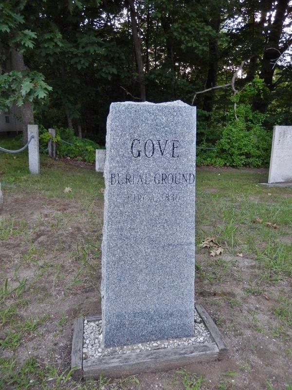
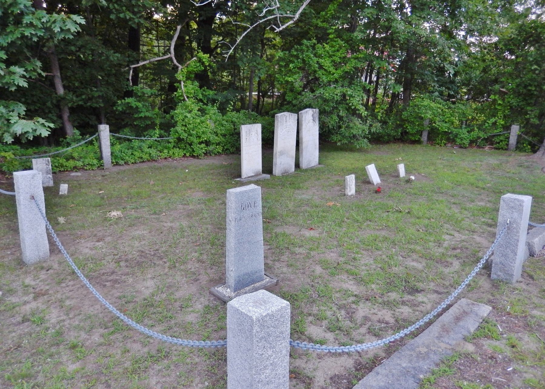
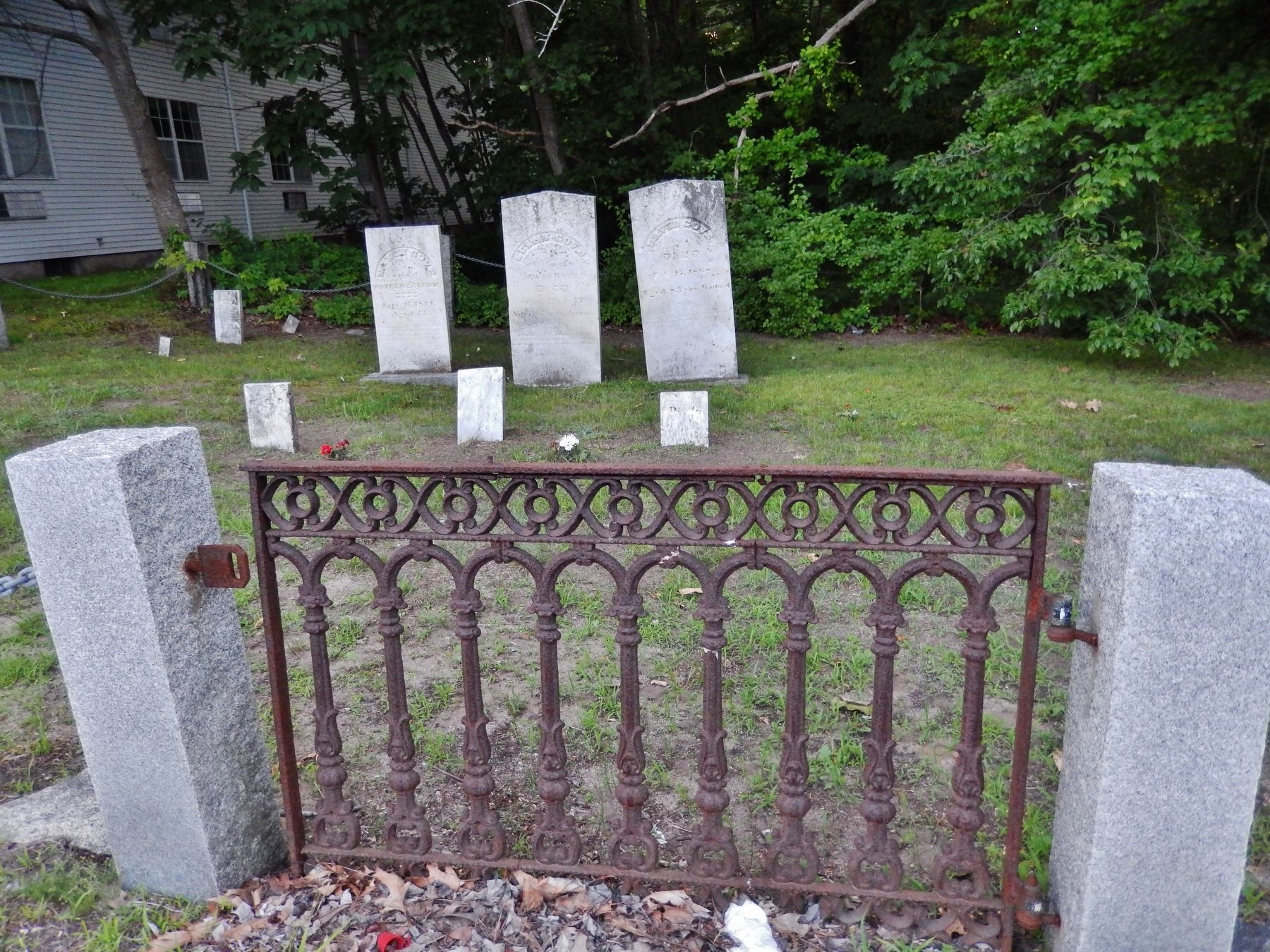
Regarding Shapley Line. The Gove Family Burial Ground, a small family cemetery, is directly across the highway from this marker.
Also see . . .
1. Edward Gove and His One-Man Revolution of 1683. New England Historical Society website entry:
What if you started a revolution and nobody came? New Hampshire’s Edward Gove found out in 1683 – and the answer is you are sent to the Tower of London to await your gruesome execution.
Gove was born in London. His father brought him to America around 1647 when he was 17. He gradually moved north from Charlestown, Massachusetts to Salisbury and finally into Hampton in 1665. (Submitted on March 25, 2018, by Cosmos Mariner of Cape Canaveral, Florida.)
2. Gove's Rebellion. Wikipedia entry:
Gove's Rebellion was a short uprising in 1683 in the Province of New Hampshire, in which men of the towns of Exeter and Hampton took up arms against the Royal Governor, Edward Cranfield. The rebels were arrested while attempting to muster more rebels. The leader, Edward Gove, was sentenced to death for high treason, and shipped off to London for sentencing. He was pardoned three years later by James II and returned to New Hampshire. (Submitted on March 25, 2018, by Cosmos Mariner of Cape Canaveral, Florida.)
3. Edward Gove. Geni website entry (Submitted on May 16, 2022, by Larry Gertner of New York, New York.)
Credits. This page was last revised on May 17, 2022. It was originally submitted on March 25, 2018, by Cosmos Mariner of Cape Canaveral, Florida. This page has been viewed 540 times since then and 59 times this year. Photos: 1, 2, 3, 4, 5, 6. submitted on March 25, 2018, by Cosmos Mariner of Cape Canaveral, Florida. • Andrew Ruppenstein was the editor who published this page.
