Islington in Greater London, England, United Kingdom — Northwestern Europe (the British Isles)
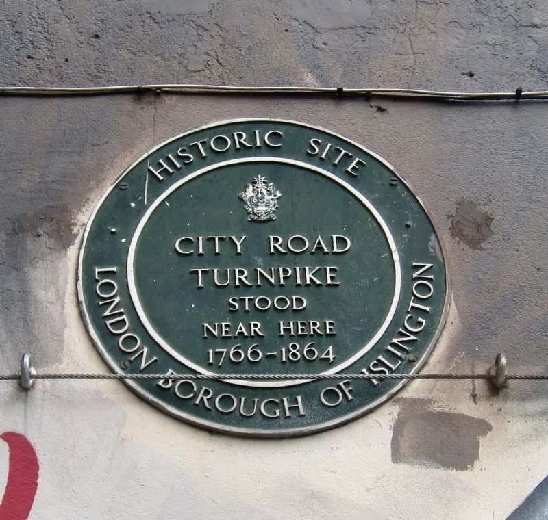
City Road Turnpike
Historic Site
Turnpike
stood
near here
1766-1864
Erected by London Borough of Islington.
Topics. This historical marker is listed in this topic list: Roads & Vehicles.
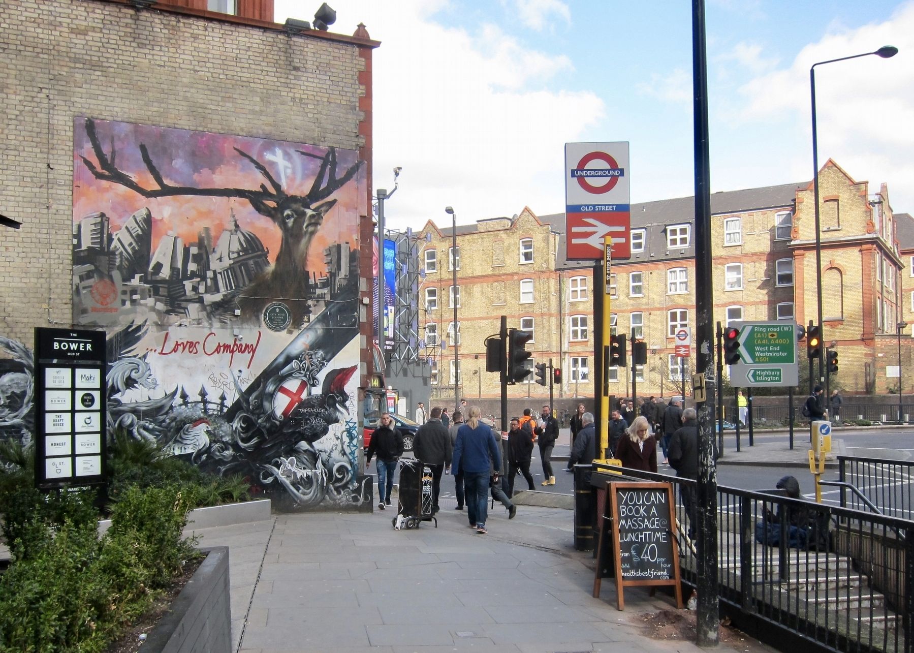
Location. 51° 31.564′ N, 0° 5.277′ W. Marker is in Islington, England, in Greater London. Marker is at the intersection of City Road and Old Street on City Road. Touch for map. Marker is in this post office area: Islington, England EC1V 2NR, United Kingdom. Touch for directions.
Other nearby markers. At least 8 other markers are within walking distance of this marker. Priss Fotheringham (approx. 0.4 kilometers away); Whitecross Debtors Prison (1813-1870) (approx. half a kilometer away); Fortune Theatre (approx. half a kilometer away); Linale House (approx. 0.6 kilometers away); Holy Trinity Hoxton War Memorial (approx. 0.6 kilometers away); A Royal Brewery Visit (approx. 0.6 kilometers away); Hoxton Jewish Cemetery (approx. 0.7 kilometers away); Frieze from W. Bryer & Sons (approx. 0.8 kilometers away). Touch for a list and map of all markers in Islington.
More about this marker. The marker is located on the northwest side of the Old Street Station, where Old Street turns into City Road, within steps of the exit from the station.
Credits. This page was last revised on January 27, 2022. It was originally submitted on March 27, 2018, by Andrew Ruppenstein of Lamorinda, California. This page has been viewed 198 times since then and 23 times this year. Photos: 1, 2. submitted on March 27, 2018, by Andrew Ruppenstein of Lamorinda, California.

