Glen Allen in Henrico County, Virginia — The American South (Mid-Atlantic)
Mount Olive Baptist Church
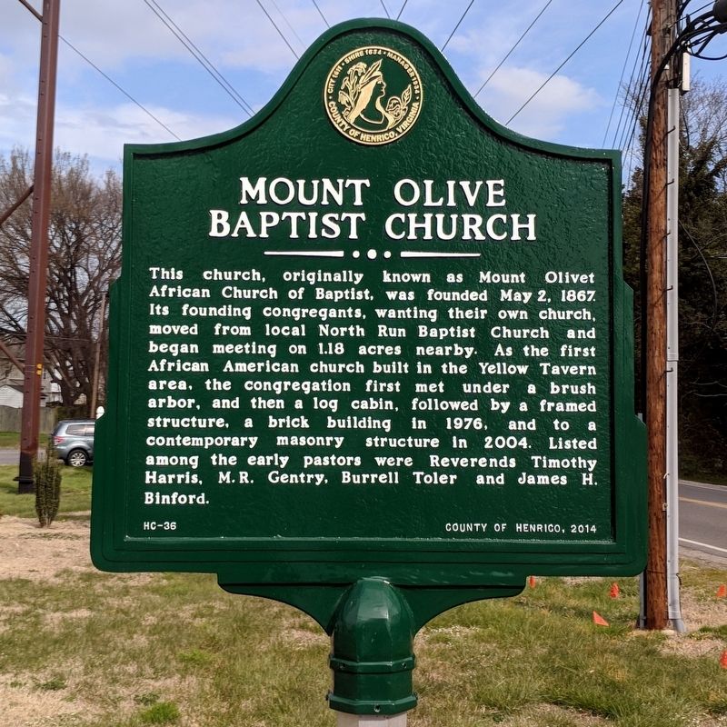
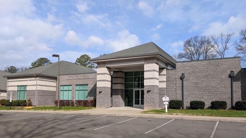
This church, originally known Mount Olivet African Church of Baptist, was founded May 2, 1867. Its founding congregants, wanting their own church, moved from local North Run Baptist Church and began meeting on 1.18 acres nearby. As the first African American church built in the Yellow Tavern area, the congregation first met under a brush arbor, and then a log cabin, followed by a framed structure, a brick building in 1976, and to a contemporary masonry structure in 2004. Listed among the early pastors were Reverends Timothy Harris, M.R. Gentry, Burrell Toler and James H. Binford.
Erected 2014 by County of Henrico. (Marker Number HC-36.)
Topics. This historical marker is listed in these topic lists: African Americans • Churches & Religion. A significant historical date for this entry is May 2, 1867.
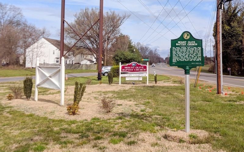
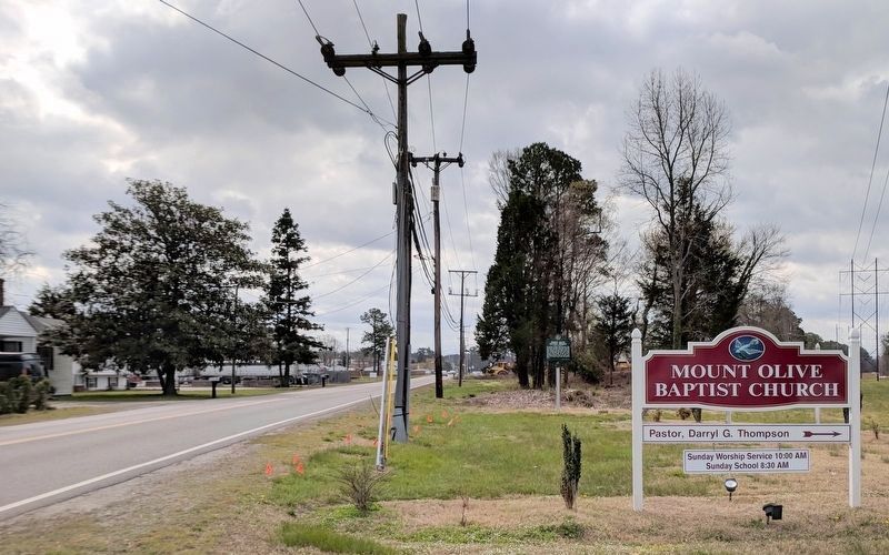
Location. 37° 38.764′ N, 77° 27.928′ W. Marker is in Glen Allen, Virginia, in Henrico County. Marker is at the intersection of Mountain Road and Mt Olive Avenue, on the left when traveling west on Mountain Road. Touch for map. Marker is in this post office area: Glen Allen VA 23060, United States of America. Touch for directions.
Other nearby markers. At least 8 other markers are within 2 miles of this marker, measured as the crow flies. A different marker also named Mount Olive Baptist Church (approx. 0.2 miles away); Yellow Tavern (approx. 0.4 miles away); Anderson Cemetery (approx. 0.4 miles away); Saint Joseph’s Villa (approx. 0.9 miles away); Stuart’s Mortal Wound (approx. 1.1 miles away); Battle of Yellow Tavern (approx. 1.1 miles away); a different marker also named Stuart’s Mortal Wound (approx. 1.1 miles away); a different marker also named Yellow Tavern (approx. 1.3 miles away). Touch for a list and map of all markers in Glen Allen.
Also see . . . Mount Olive Baptist Church. (Submitted on March 30, 2018.)
Credits. This page was last revised on March 30, 2018. It was originally submitted on March 30, 2018, by Bernard Fisher of Richmond, Virginia. This page has been viewed 305 times since then and 20 times this year. Photos: 1, 2, 3, 4. submitted on March 30, 2018, by Bernard Fisher of Richmond, Virginia.


