Bald Head Island in Brunswick County, North Carolina — The American South (South Atlantic)
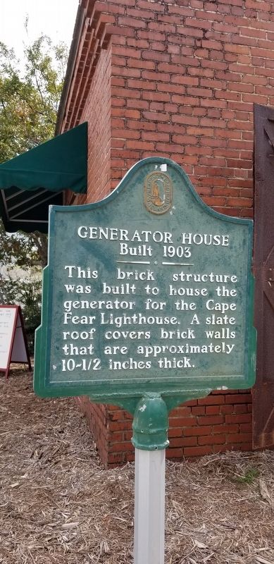
Generator House
Built 1903
Photographed by Charles Keller, March 29, 2018
1. Generator house built in 1903 Marker
Erected by Village of Bald Head Island.
Topics and series. This historical marker is listed in this topic list: Notable Buildings. In addition, it is included in the Lighthouses series list. A significant historical year for this entry is 1903.
Location. 33° 50.793′ N, 77° 57.962′ W. Marker is on Bald Head Island, North Carolina, in Brunswick County. It is on Capt Charles Point Road south of Federal Road. Touch for map. Marker is at or near this postal address: 700 Federal Raod, Southport NC 28461, United States of America. Touch for directions.

Regionally, this marker is in the Coastal Plain and on the Cape Fear Coast. It is also in the American South, specifically in the Upper South, in the Tidewater, and on the Eastern Seaboard. Globally, it is in the North Atlantic Region, North America, the Western Hemisphere, the Western World, and the Anglosphere. Historically, it finds itself in what was once the territory of the Mississippian Culture, one of the original Thirteen Colonies, one of the Confederate States of America, and the Antebellum South.
Other nearby markers. At least 8 other markers are within 3 miles of this marker, measured as the crow flies: Captain Charlie’s Station (a few steps from this marker); Cape Fear Lighthouse Foundation 1903–1958 (a few steps from this marker); Cape Fear and Frying Pan Shoals (approx. ¼ mile away); Union Blockading Ship U.S.S. Peterhoff (approx. ¼ mile away); Confederate Blockade Runner Ella (approx. 2.4 miles away); Fort Holmes, 1863-1865 Battery No. 4 (approx. 2.6 miles away); Guarding the Confederacy Lifeline (approx. 2.6 miles away); Fort Holmes, 1863-1865 Batteries No. 1 and No. 2 (approx.
this page online
Photographed by Charles Keller, March 29, 2018
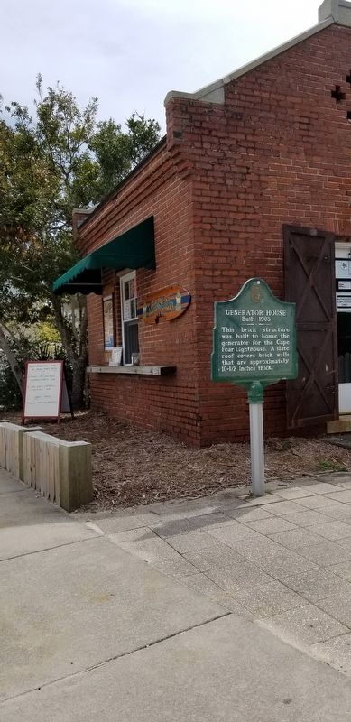
2. Generator house - Snack Shop
Credits. This page was last revised on April 1, 2018. It was originally submitted on March 31, 2018, by Charles Keller of Myrtle Beach, South Carolina. This page has been viewed 393 times since then and 23 times this year. Photos: 1, 2. submitted on March 31, 2018, by Charles Keller of Myrtle Beach, South Carolina. • Bernard Fisher was the editor who published this page.
