Santiago de Querétaro in Querétaro, Mexico — The Central Highlands (North America)
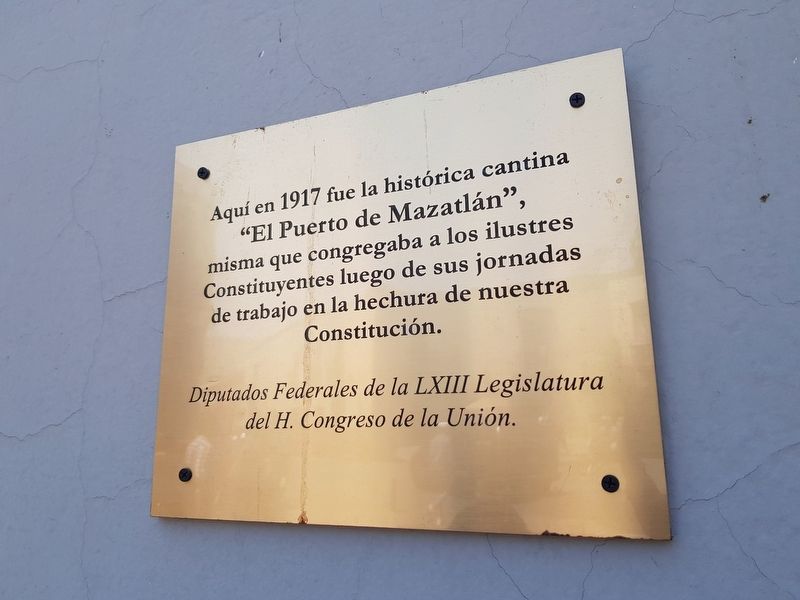
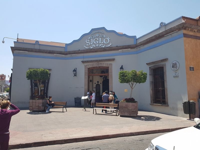
Cantina "El Puerto de Mazatlán"
“El Puerto de Mazatlán”,
misma que congregaba a los ilustres constituyentes luego de sus jornadas de trabajo en la hechura de nuestra Constitución.
Diputados Federales de la LXIII Legislatura del H. Congreso de la Unión.
“El Puerto de Mazatlán",
where the illustrious Constituents congregated after their days at work in the making of our Constitution.
The LXIII Legislature of the Honorable Congress of the Union.
Erected 2017 by Diputados Federales de la LXIII Legislatura del H. Congreso de la Unión.
Topics. This historical marker is listed in these topic lists: Government & Politics • Industry & Commerce. A significant historical year for this entry is 1917.
Location. 20° 35.659′ N, 100° 23.588′ W. Marker is in Santiago de Querétaro, Querétaro. Marker is at the intersection of Calle Hidalgo and Calle Benito Juárez Norte, on the right when traveling east on Calle Hidalgo. Touch for map. Marker is in this post office area: Santiago de Querétaro QUE 76000, Mexico. Touch for directions.
Other nearby markers. At least 8 other markers are within walking distance of this marker. Teatro de la República (within shouting distance of this marker); Temple and Convent of Our Lady of Mount Carmel (about 90 meters away, measured in a direct line); Residence of Epigmenio and Emeterio González (about 120 meters away); Tribute to Juan Antonio de Urrutia y Arana (about 150 meters away); Temple and former Convent of San Antonio (about 150 meters away); Monument to Josefa Ortiz de Domínguez (about 150 meters away); Church and Former Convent of San Francisco (about 210 meters away); The Royal Inland Road (about 210 meters away). Touch for a list and map of all markers in Santiago de Querétaro.
Credits. This page was last revised on August 12, 2018. It was originally submitted on April 2, 2018, by J. Makali Bruton of Accra, Ghana. This page has been viewed 190 times since then and 12 times this year. Photos: 1, 2. submitted on April 2, 2018, by J. Makali Bruton of Accra, Ghana.

