Lee Vining in Mono County, California — The American West (Pacific Coastal)
Dog Town
1857
August 22, 2008
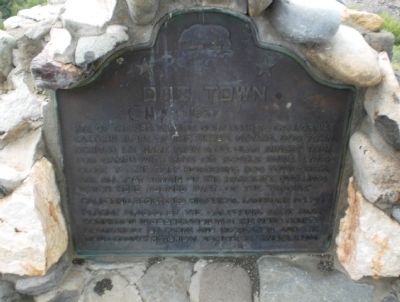
1. Dog Town Marker
Site of the first major gold rush to California’s eastern slope of the Sierra Nevada, Dog Town derived its name from a popular miners’ term for camps with huts or hovels. Ruins, lying close to the cliff bordering Dog Town Creek are all that remain of the makeshift dwellings which here formed part of “diggins”.
[Supporting Marker to the Left of the Main Marker]:
Many hopeful parties have tried to make a go of the remaining placer deposits. In the late 1860’s and early 1870’s, Chinese families occupied stone huts, planted gardens, and lived off what little gold they could find.
this page online
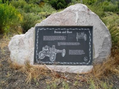
Though never very profitable, Dogtown was significant as the first placer settlement on the eastern slope of the Sierra, bringing attention to more profitable areas such as Bodie, Aurora, Masonic, and Virginia City. In some areas, mining continues today, adding to the wealth of gold and silver found in these lonely hills.
[Supporting Marker to the Right of the Main Marker]:
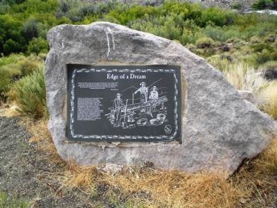
Visions of "streets paved with gold" lured many fortune hunters to the Sierra Nevada during the mid to late 1800s. Thousands of gold seekers roamed the hills braving the elements. Life was challenging. Bitter winter winds dropped temperatures well below zero and snowfall was often several feet deep. "Homes" with little or no insulation neither kept
Photographed by Andrew Ruppenstein, August 22, 2008
2. Boom and Bust (Supporting Marker to the Left of the Main Marker)
[Both supporting markers include an Eastern Sierra Scenic Byways emblem]
Erected 1964 by the California State Park Commission in cooperation with the Mono County Department of Parks and Recreation and the Mono County Historical Society, September 11, 1964. (Marker Number 792.)
Topics and series. This historical marker is listed in this topic list: Settlements & Settlers. In addition, it is included in the California Historical Landmarks series list.
Location. 38° 10.219′ N, 119° 11.635′ W. Marker is in Lee Vining, California, in Mono County. It is on U.S. 395, on the right when traveling south. Touch for map. Marker is in this post office area: Lee Vining CA 93541, United States of America. Touch for directions.

Regionally, this marker is in the Sierra Nevada. It is also in the American
Photographed by Andrew Ruppenstein, August 22, 2008
3. Edge of a Dream - (Supporting Marker to the Right of the Main Marker)
Other nearby markers. At least 8 other markers are within 7 miles of this marker, measured as the crow flies: Little Bodie (approx. 1½ miles away); Dynamo Plant and Pond (approx. 2.2 miles away); Poor Farm (approx. 2.3 miles away); "Bridgeport Inn" (approx. 6.2 miles away); Frontier Justice (approx. 6.2 miles away); Mono County Court House (approx. 6.2 miles away); "The Irwin" (approx. 6.2 miles away); First Bridgeport Courthouse (approx. 6.2 miles away).
More about this marker. This is a California Registered Historical Landmark (No. 792).
Photographed by Andrew Ruppenstein, August 22, 2008
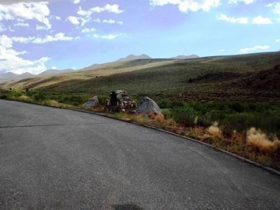
4. Dog Town Marker - Wide Shot with Supporting Markers (south view)
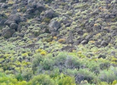
Photographed by Andrew Ruppenstein, August 22, 2008
5. The remains of Dogtown
Blending in with the background to the point of near-invisibility, the remains of two stone huts are visible in the center of this picture. (Taken from across Virginia Creek with a telephoto lense.)
Credits. This page was last revised on August 5, 2018. It was originally submitted on September 17, 2008, by Andrew Ruppenstein of Lamorinda, California. This page has been viewed 2,788 times since then and 112 times this year. Last updated on September 19, 2008, by Andrew Ruppenstein of Lamorinda, California. Photos: 1. submitted on September 17, 2008. 2, 3, 4, 5. submitted on September 17, 2008, by Andrew Ruppenstein of Lamorinda, California. • Kevin W. was the editor who published this page.
