Southwest Federal Center in Southwest Washington in Washington, District of Columbia — The American Northeast (Mid-Atlantic)
The Oklahoma City Bombing
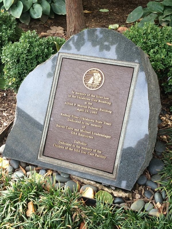
in the Oklahoma City Bombing
at the
Alfred P. Murrah Federal Building
April 19, 1995
Redbud Trees (Oklahoma State Tree)
Dedicated to the memory
of
Steven Curry and Michael Loudenslager
GSA Employees
Daffodils
Dedicated to the memory of the
Children of the GSA Day Care Facility
Erected by U.S. General Services Administration.
Topics. This historical marker is listed in this topic list: Disasters. A significant historical date for this entry is April 19, 1995.
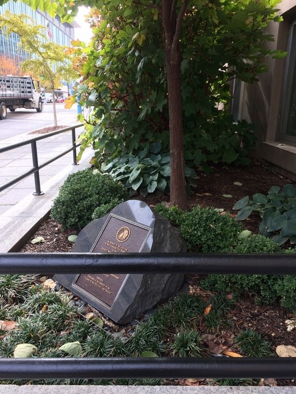
Location. 38° 53.104′ N, 77° 1.318′ W. Marker is in Southwest Washington in Washington, District of Columbia. It is in Southwest Federal Center. It is at the intersection of 7th Street Southwest and D Street Southwest, on the right when traveling south on 7th Street Southwest. The marker is on the grounds of the General Services Administration's National Capital Region Building. Touch for map. Marker is at or near this postal address: 301 7th Street Southwest, Washington DC 20024, United States of America. Touch for directions.

Regionally, this marker is in the Washington Metropolitan Area. It is also in the American Northeast,
this page online
Other nearby markers. At least 8 other markers are within walking distance of this marker: 9/11 Memorial (within shouting distance of this marker); Memorial Tree Planting (about 500 feet away, measured in a direct line); U.S. Department of Housing and Urban Development Oklahoma City Bombing Memorial (about 500 feet away); St. Dominic Church: Community Anchor (about 600 feet away); The Slave Trade in Washington, DC (approx. 0.2 miles away); The Williams Slave Pen (approx. 0.2 miles away); 320th Bomb Group (approx. 0.2 miles away); a different marker also named Earth Day Park (approx. 0.2 miles away). Touch for a list and map of all markers in Southwest Washington.
Other markers no longer nearby. Welcome to the Hirshhorn Museum's Plaza (was approx. 0.2 miles away but has been confirmed missing); a different marker also named Welcome to the Hirshhorn Museum's Plaza (was approx. 0.2 miles away but has been confirmed missing); Earth Day Park
Credits. This page was last revised on May 8, 2026. It was originally submitted on November 14, 2017. This page has been viewed 657 times since then and 25 times this year. Last updated on April 6, 2018. Photos: 1, 2. submitted on November 14, 2017, by Devry Becker Jones of Washington, District of Columbia. • Andrew Ruppenstein was the editor who published this page.
