Christoval in Tom Green County, Texas — The American South (West South Central)
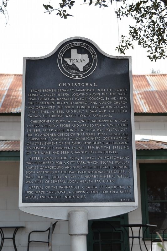
Christoval
Frontiersmen began to immigrate into the South Concho Valley in 1870s, locating along the “Toe Nail” trail from Fort McKavett to Fort Concho. By mid-1880s the settlement began to develop and a Union church was organized. The South Concho Irrigation Co. was established in 1885, and built a dam and 3 miles of canal to furnish water to dry farmland.
Christopher C. Doty (1857-1944), who had arrived in Texas in 1879, opened a store and applied for a post office in 1888. After rejection of application for “Alice”, due to another office of that name, Doty suggested “Christobal” (Spanish for Christopher). Confirmation of establishment of the office and Doty’s appointment as postmaster arrived in Jan. 1889, but the spelling of the name had been changed to Christoval.
After flood in Aug. 1906, a tract of bottomland was purchased for a city park, which became popular Baptist campground and site of Confederate reunions, both attended by thousands of regional residents. A bath house, built in 1915 at nearby Mineral Wells, was first of several local health facilities.
Arrival of the Panhandle & Santa Fe Railroad, in 1930, made Christoval a shipping point for area sheep, wool, and cattle industries.
Erected 1973 by State Historical Survey Committee. (Marker Number 849.)
Topics. This historical marker is listed in these topic lists: Railroads & Streetcars • Settlements & Settlers. A significant historical year for this entry is 1879.
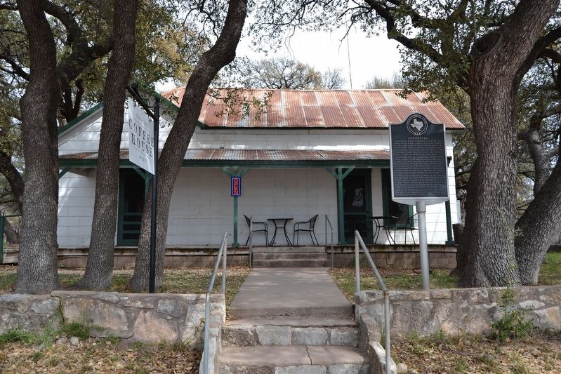
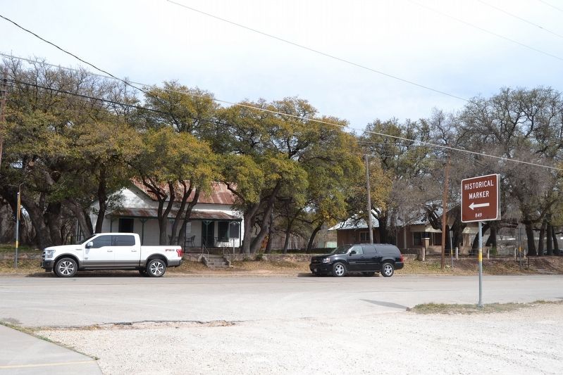
Location. 31° 11.519′ N, 100° 29.915′ W. Marker is in Christoval, Texas, in Tom Green County. Marker is on Main Street (Loop Highway 110) 0.1 miles north of Rudd Street, on the right when traveling north. Touch for map. Marker is at or near this postal address: 19930 Main St, Christoval TX 76935, United States of America. Touch for directions.
Other nearby markers. At least 8 other markers are within 10 miles of this marker, measured as the crow flies. Christoval United Methodist Church (about 700 feet away, measured in a direct line); Christoval Baptist Church (approx. 0.2 miles away); Confederate Reunion Grounds (approx. 0.2 miles away); Historic Roadside Park (approx. 0.8 miles away); Site of Mark Fury Ranch Stage Stand (approx. 8.7 miles away); Knickerbocker (approx. 9.1 miles away); Knickerbocker Schools (approx. 9.2 miles away); Christopher Columbus Doty (approx. 9˝ miles away). Touch for a list and map of all markers in Christoval.
Also see . . . Christoval, TX. From the Texas State Historical Association's "Handbook of Texas Online". (Submitted on April 6, 2018.)
Credits. This page was last revised on November 29, 2020. It was originally submitted on April 6, 2018, by Duane Hall of Abilene, Texas. This page has been viewed 422 times since then and 72 times this year. Photos: 1, 2, 3. submitted on April 6, 2018, by Duane Hall of Abilene, Texas.


