Spencer in Roane County, West Virginia — The American South (Appalachia)
Roane County
⎯⎯⎯
Jackson County
Photographed by J. J. Prats, July 14, 2008
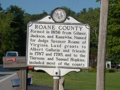
1. Roane County face of Marker
Roane County. Formed in 1856 from Gilmer, Jackson, and Kanawha. Named for Judge Spencer Roane of Virginia. Land grants to Albert Gallatin and friends in 1787 and 1795, and to the Tiersons and Samuel Hopkins, included most of the county.
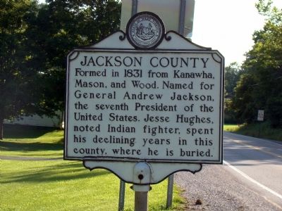
Jackson County. Formed in 1831 from Kanawha, Mason and Wood. Named for General Jackson, the seventh President of the United States. Jesse Hughes, noted Indian fighter, spent his declining years in this county, where he is buried.
Topics and series. This historical marker is listed in this topic list: Political Subdivisions. In addition, it is included in the West Virginia Archives and History series list. A significant historical year for this entry is 1856.
Location. 38° 49.5′ N, 81° 31.248′ W. Marker is in Spencer, West Virginia, in Roane County. It is on Ripley Road (U.S. 33). Touch for map. Marker is at or near this postal address: 6361 Ripley Rd, Spencer WV 25276, United States of America. Touch for directions.

Regionally, this marker is in the Mid-Ohio Valley. It is also in the American South, specifically in the Upper South, in Appalachia, and specifically in Southern Appalachia.
this page online
Other nearby markers. At least 8 other markers are within 10 miles of this marker, measured as the crow flies: Thomas Asbury Roberts (approx. 7.4 miles away); Staats Mill Bridge (approx. 8 miles away); The Casto Hole (approx. 9.2 miles away); Staats Mill Covered Bridge (approx. 9.2 miles away); Market Street Chapel (approx. 9.2 miles away); Robey Theater and Knights of Pythias Lodge (approx. 9.3 miles away); Spencer (approx. 9.3 miles away); Col. Ruby G. Bradley (approx. 9.3 miles away). Touch for a list and map of all markers in Spencer.
Also see . . . Jesse Hughes: The Legend, the Man. Muzzle Blasts Online website entry:
2000 article by John Curry. “Jesse Hughes was a wonderful hunter, a great scout, a significant wilderness explorer, and a legendary Indian fighter. More importantly for us, he was also a common man—dressing, equipping and conducting himself in a manner appropriate to his time period, familiar and recognizable
Photographed by J. J. Prats, July 14, 2008
2. Jackson County Face of Marker
Photographed by J. J. Prats, July 14, 2008
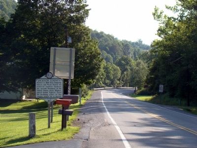
3. Jackson County
Photographed by J. J. Prats, July 14, 2008
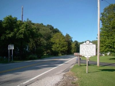
4. Roane County
Credits. This page was last revised on January 23, 2022. It was originally submitted on September 19, 2008, by J. J. Prats of Powell, Ohio. This page has been viewed 1,767 times since then and 46 times this year. Photos: 1, 2, 3, 4. submitted on September 19, 2008, by J. J. Prats of Powell, Ohio.
