Kensington in Montgomery County, Maryland — The American Northeast (Mid-Atlantic)
Photos of Historic Kensington
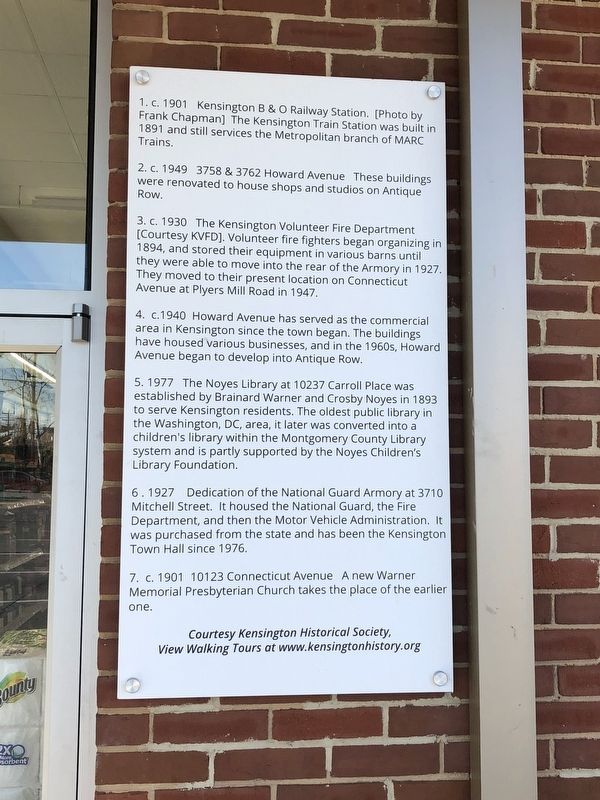
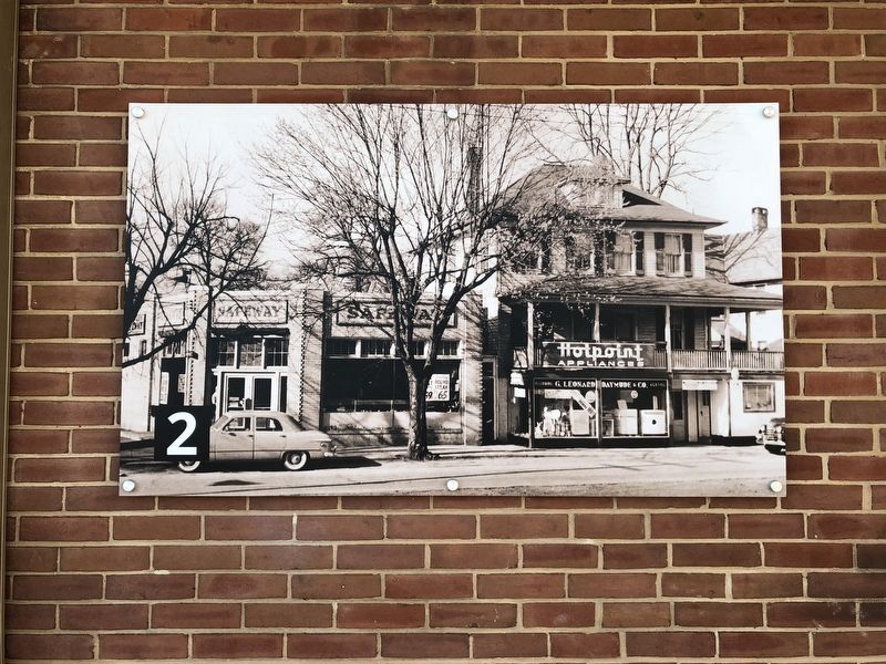
2. c. 1949 3758 & 3762 Howard Avenue These buildings were renovated to house shops and studios on Antique Row.
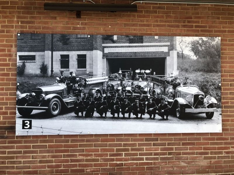
3. c. 1930 The Kensington Volunteer Fire Department [Courtesy KVFD]. Volunteer fire fighters began organizing in 1894, and stored their equipment in various barns until they were able to move into the rear of the Armory in 1927. They moved to their present location on Connecticut Avenue at Plyers Mill Road in 1947.
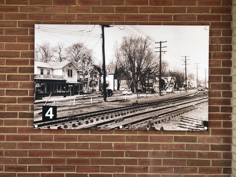
4. c.1940 Howard Avenue has served as the commercial area in Kensington since the town began. The buildings have housed various businesses, and in the 1960s, Howard Avenue began to develop into Antique Row.
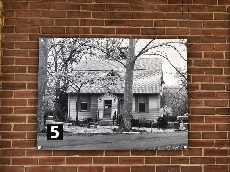
5. 1977 The Noyes Library at 10237 Carroll Place was established by Brainard Warner and Crosby Noyes in 1893 to serve Kensington residents. The oldest public library in the Washington, DC, area, it later was converted into a children's library within the Montgomery County Library system and is partly supported by
this page online
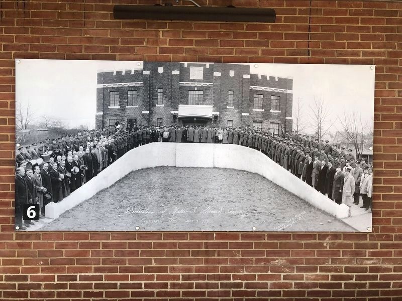
6. 1927 Dedication of the National Guard Armory at 3710 Mitchell Street. It housed the National Guard, the Fire Department, and then the Motor Vehicle Administration. It was purchased from the state and has been the Kensington Town Hall since 1976.
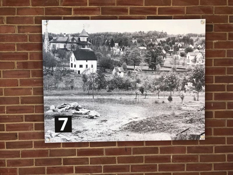
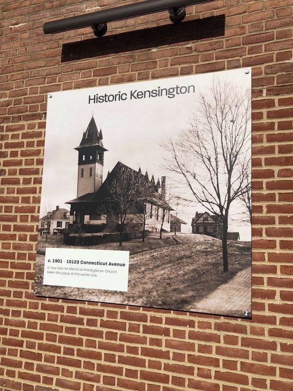
7. c. 1901 10123 Connecticut Avenue A new Warner Memorial Presbyterian Church takes the place of the earlier one.
View Walking Tours at www.kensingtonhistory.org
Erected by Kensington Historical Society.
Topics. This historical marker is listed in these topic lists: Industry & Commerce • Notable Buildings • Railroads & Streetcars • Religion & Religious Structures. A significant historical year for this entry is 1901.
Location. 39° 1.691′ N, 77° 4.629′ W. Marker is in Kensington, Maryland, in Montgomery County. It is on Connecticut Avenue (Maryland Route 185) north of Knowles Avenue, on the right. Marker is on the grounds of Kensington Shopping Center. Touch for map. Marker is at or near this postal address: 10504 Connecticut Avenue, Kensington MD 20895, United States of America.

Regionally, this marker is in the Washington Metropolitan Area. It is also in the American Mid-Atlantic. Globally, it is in North America, the Western Hemisphere, the Western World, and the Anglosphere. Historically, it finds itself in what was once one of the original Thirteen Colonies and also the Antebellum South.
Other nearby markers. At least 8 other markers are within walking distance of this marker: 9-11 Memorial • KVFD (about 800 feet away, measured in a direct line); Veterans Memorial (approx. ¼ mile away); Edith Throckmorton (approx. 0.3 miles away); Clum-Kennedy Park (approx. 0.4 miles away); Millstone From Alfred Ray's Property (approx. 0.4 miles away); Newport Mills (approx. half a mile away); Baltimore and Ohio Railroad Bridge Abutment (approx. half a mile away); Kensington Cabin (approx. 0.6 miles away). Touch for a list and map of all markers in Kensington.
More about this marker. Unfortunately, the photo of Kensington B & O Railway Station is currently unavailable.
Photographed by Devry Becker Jones (CC0)
9. Additional photo of Warner Memorial Presbyterian Church along Connecticut Avenue
Credits. This page was last revised on March 19, 2019. It was originally submitted on April 8, 2018, by Devry Becker Jones of Washington, District of Columbia. This page has been viewed 1,111 times since then and 62 times this year. Photos: 1, 2, 3, 4, 5. submitted on April 8, 2018, by Devry Becker Jones of Washington, District of Columbia. 6, 7. submitted on April 11, 2018, by Devry Becker Jones of Washington, District of Columbia. 8. submitted on April 8, 2018, by Devry Becker Jones of Washington, District of Columbia. 9. submitted on April 11, 2018, by Devry Becker Jones of Washington, District of Columbia. • Bill Pfingsten was the editor who published this page.
