
Hot Springs in Garland County, Arkansas — The American South (West South Central)
Stan Musial
| — | Hot Springs Historic Baseball Trail | — |
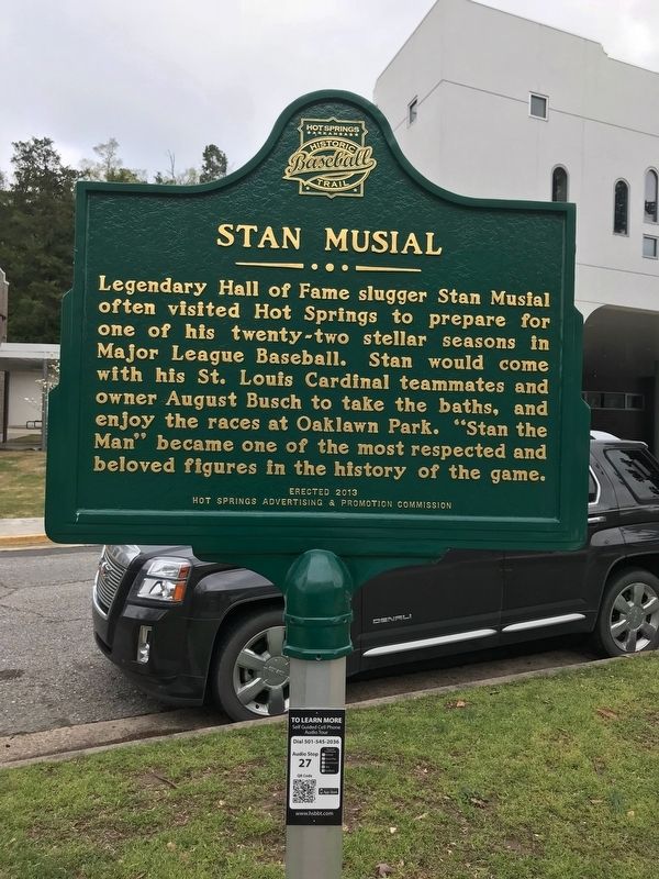
Photographed by Steve Masler, April 7, 2018
1. Stan Musial Marker
Erected 2013 by Hot Springs Advertising and Promotion Commission.
Topics and series. This historical marker is listed in this topic list: Sports. In addition, it is included in the Baseball Hall of Famers series list.
Location. 34° 31.09′ N, 93° 3.412′ W. Marker is in Hot Springs, Arkansas, in Garland County. It is at the intersection of Whittington Ave. and Pine Street on Whittington Ave.. Touch for map. Marker is at or near this postal address: 136 Whittington Ave Hot Springs Arkansas, Hot Springs National Park AR 71901, United States of America. Touch for directions.

Regionally, this marker is in Arkansas’ Ouachita Mountains. It is also in the American South and specifically in the Upper South.
this page online
Other nearby markers. At least 8 other markers are within walking distance of this marker: Al Simmons (a few steps from this marker); Hiram Abiff Whittington (a few steps from this marker); “An Open Log Cabin and a Few Huts” (about 400 feet away, measured in a direct line); The Ostrich Farm (about 400 feet away); 122 (about 400 feet away); 126 (about 400 feet away); Hot Springs' Resort Beginnings (about 500 feet away); Whittington Park (about 500 feet away). Touch for a list and map of all markers in Hot Springs.
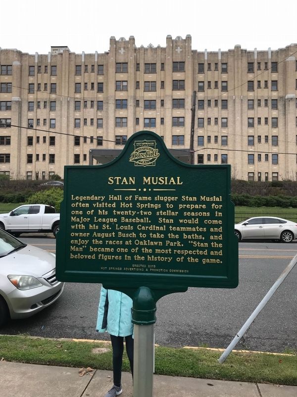
Photographed by Steve Masler, April 7, 2018
2. Stan Musial Marker
Credits. This page was last revised on April 8, 2021. It was originally submitted on April 8, 2018, by Steve Masler of Memphis, Tennessee. This page has been viewed 534 times since then and 17 times this year. Photos: 1, 2. submitted on April 8, 2018, by Steve Masler of Memphis, Tennessee. • Andrew Ruppenstein was the editor who published this page.
