Goldfield in Esmeralda County, Nevada — The American Mountains (Southwest)
Goldfield
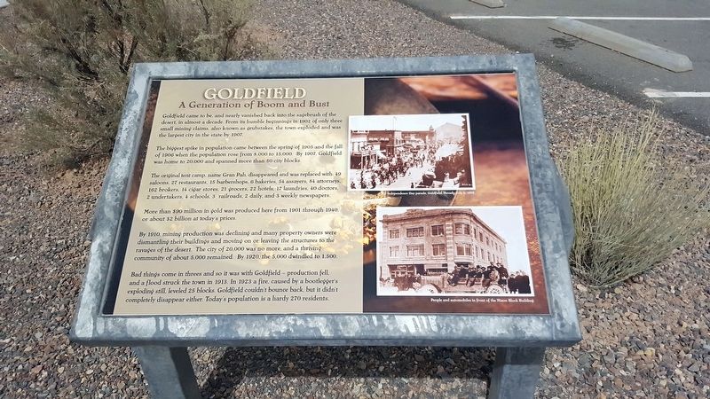
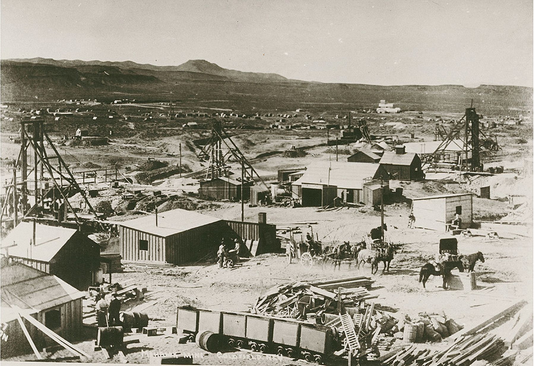
A Generation of Boom and Bust
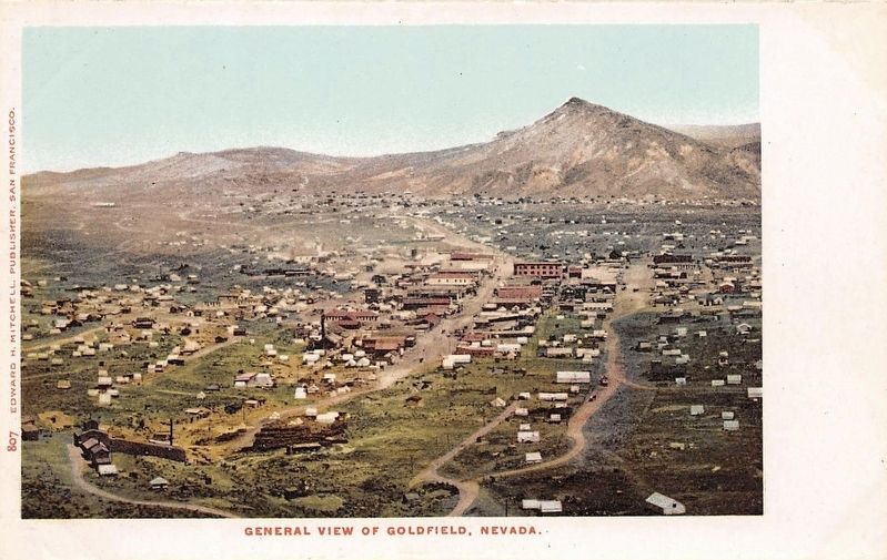
The biggest spike in population came between the spring of 1905 and the fall of 1906 when the population rose from 8,000 to 15,000. By 1907, Goldfield was home to 20,000 and spanned more than 50 city blocks.
The original tent camp, name Gran Pah, disappeared and was replaced with 49 saloons, 27 restaurants, 15 barbershops, 6 bakeries, 54 assayers, 84 attorneys, 162 brokers, 14 cigar stores, 21 grocers, 22 hotels, 17 laundries, 40 doctors, 2 undertakers, 4 schools, 3 railroads, 2 daily and 3 weekly newspapers.
More than $90 million in gold was produces here from 1901 through 1940, or about $2 billion at today's prices.
By 1910, mining production was declining and many property owners were dismantling their buildings and moving on or leaving the structures to the ravages of the desert. The city of 20,000 was no more, and a thriving community of about 5,000 remained. By 1920, the 5,000 dwindled to 1,500.
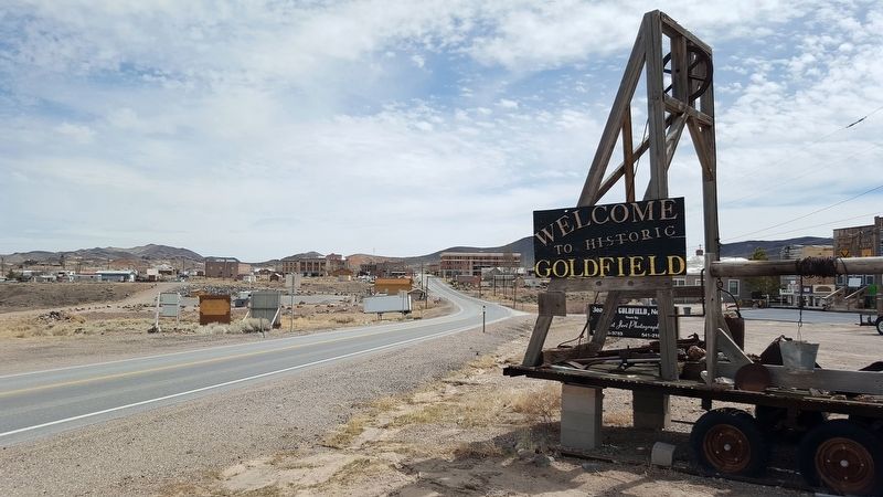
Bad things come in threes and so it was with Goldfield – production fell, and a flood struck the town in 1913. In 1923, a fire, caused by a bootlegger's exploding still, leveled 25 blocks. Goldfield couldn't bounce back, but it didn't completely disappear either. Today's population is hardly 270 residents.
Erected by Goldfield Historical Society.
Topics. This historical marker is listed in these topic lists: Industry & Commerce • Settlements & Settlers. A significant historical year for this entry is 1902.
Location. 37° 42.57′ N, 117° 14.267′ W. Marker is in Goldfield, Nevada, in Esmeralda County. Marker can be reached from Veterans Memorial Hwy (U.S. 95). Touch for map. Marker is in this post office area: Goldfield NV 89013, United States of America. Touch for directions.
Other nearby markers. At least 8 other markers are within walking distance of this marker. Where’s Gran Pah? (a few steps from this marker); Goldfield’s Railroads (a few steps from this marker); West Side Elementary School (approx. 0.2 miles away); Consolidated Telephone – Telegraph Company Building (approx. 0.2 miles away); California Beer Hall Warehouse (approx. 0.2 miles away); Goldfield Community Center (approx. ¼ mile away); Gans Vs. Nelson (approx. ¼ mile away); a different marker also named Goldfield (approx. ¼ mile away). Touch for a list and map of all markers in Goldfield.
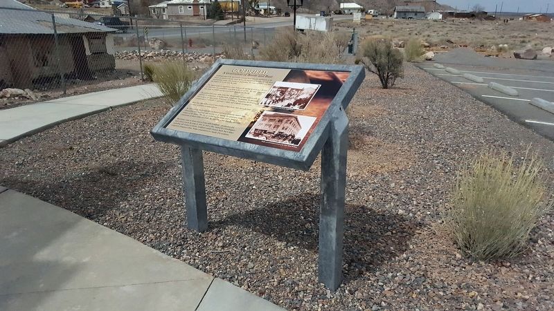
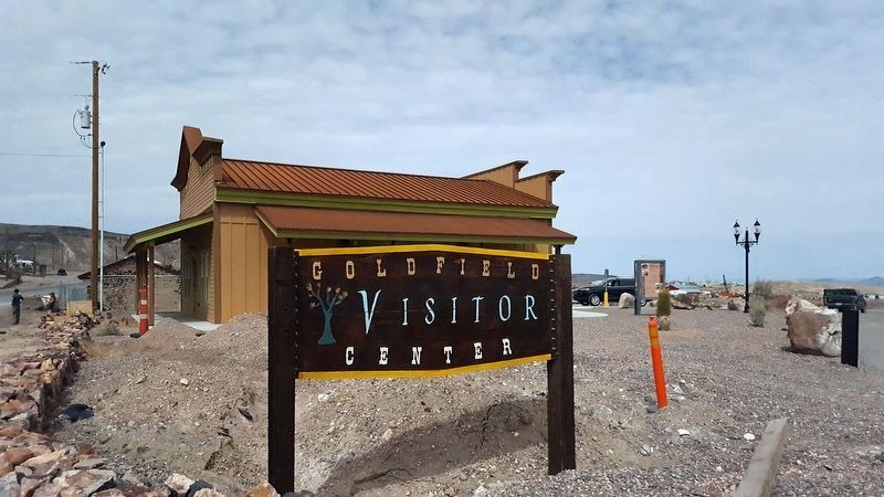
More about this marker. Marker is located behind the newly-built Goldfield Visitor Center in a new rest area.
Credits. This page was last revised on October 27, 2020. It was originally submitted on April 10, 2018, by Douglass Halvorsen of Klamath Falls, Oregon. This page has been viewed 270 times since then and 41 times this year. Photos: 1, 2, 3, 4, 5. submitted on April 10, 2018, by Douglass Halvorsen of Klamath Falls, Oregon. 6. submitted on April 11, 2018. • Andrew Ruppenstein was the editor who published this page.
