Sleep Interrupted
On The Fringe Of Disaster
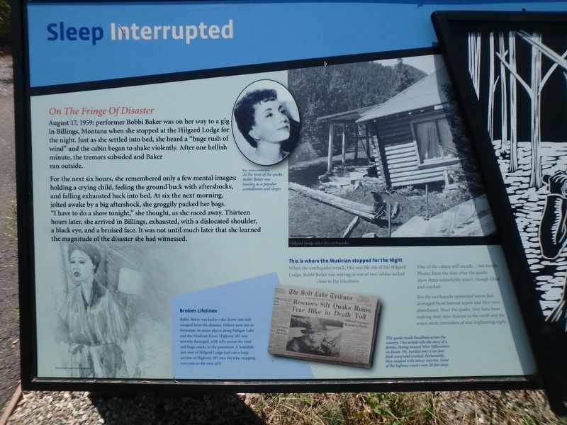
For the next six hours, she remembered only a few mental images: holding a crying child, feeling the ground buck with aftershocks, and falling exhausted back into bed. At six the next morning, jolted awake by a big aftershock, she groggily packed her bags. “I have to do a show tonight” she thought, as she raced away. Thirteen hours later, she arrived in Billings, exhausted, with a dislocated shoulder, a black eye and a bruised face. It was not until much later that she learned the magnitude of the disaster she had witnessed.
[caption 1] At the time of the quake. Bobbi Baker was touring as a popular comedian and singer.
This is were the Musician stopped for the Night
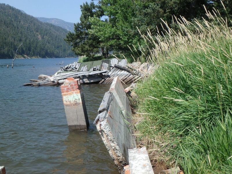
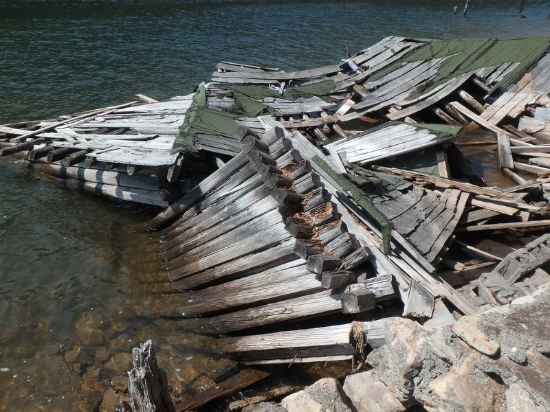
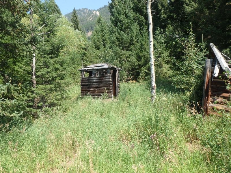
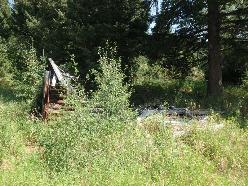
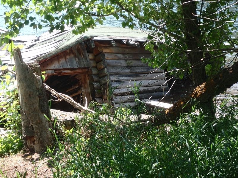
When the earthquake struck, this was the site of the Hilgard Lodge. Bobbi Baker was staying in one of two cabins tucked
this page online
But earthquake-generated waves had damaged them beyond repair and they were abandoned. Since the quake, they have been making their slow descent to the earth and the water, mute reminders of that frightening night.
[caption 2] The quake made headlines across the country. One article tells the story of a family, fleeing toward West Yellowstone on Route 191, hurdled over a six-foot fault scarp and crashed. Fortunately, they escaped with minor injuries. Some of the highway cracks were 20 feet deep.
Broken Lifelines
Bobbi Baker was lucky - she drove east and escaped from the disaster. Others were not so fortunate. In many places along Hebgen Lake and the Madison River, Highway 287 was severely damaged, with rifts across the road and huge cracks in the pavement. A landslide just west of Hilgard Lodge had cast a large section of Highway 287 into the lake, trapping everyone to the west of it.
Topics. This historical marker is listed in this topic list: Disasters. A significant historical date for this entry is August 17, 1959.
Location. 44° 51.179′ N,

Regionally, this marker is in Yellowstone Country and in Greater Bozeman. It is also in the American Mountain West and in the Lewis & Clark Corridor. Globally, it is in North America, the Rocky Mountains, the Western Hemisphere, the Western World, and the Anglosphere. Historically, it finds itself in what was once Rupert’s Land and also the Louisiana Purchase.
Other nearby markers. At least 8 other markers are within 8 miles of this marker, measured as the crow flies: The Lake that Tilted (approx. ¼ mile away); Something is terribly wrong (approx. ¼ mile away); A Leap Just in Time (approx. 0.3 miles away); The Night the Earth Cracked (approx. 1.6 miles away); Refuge Point (approx. 2 miles away); The Seismic Shake that Shaped this Lake (approx. 3½ miles away); Raynolds' Pass (approx. 7.3 miles away); The Night’s Peace Was Shattered
Credits. This page was last revised on April 11, 2018. It was originally submitted on April 11, 2018, by Martin Schrattenholzer of Renton, Washington. This page has been viewed 2,098 times since then and 90 times this year. Photos: 1, 2, 3, 4, 5, 6. submitted on April 11, 2018, by Martin Schrattenholzer of Renton, Washington. • Andrew Ruppenstein was the editor who published this page.
