Stow in Oxford County, Maine — The American Northeast (New England)
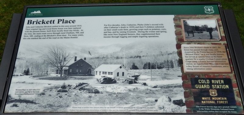
Brickett Place
Photographed by Cosmos Mariner, July 5, 2017
1. Brickett Place Marker
For five decades, John, Catharine, Phebe (John's second wife after Catharine's death in 1839) and their 9 children subsisted on their small-scale farm, growing crops such as potatoes, corn, and hay, and by raising livestock. During the winter and spring, like most New England farmers, they supplemented their income through logging and maple sugaring operations.
Since John Brickett's death in 1863, the house has passed through many uses. Acquired by the Forest Service in 1918, the "Brickett Place," as it was locally known, has served at various times as the headquarters for a nearby Civilian Conservation Corps camp, a Forest Service information station, an Appalachian Mountain Club hut, a Boy Scouts of America bunkhouse, and a hiking information center.
Erected by Forest
this page online
Topics. This historical marker is listed in these topic lists: Parks & Recreational Areas • Settlements & Settlers. A significant historical year for this entry is 1816.
Location. 44° 16.032′ N, 71° 0.246′ W. Marker is in Stow, Maine, in Oxford County. It can be reached from Brickett Road east of Main Road (Maine Route 113). Marker is located directly in front of the Brickett House, within the Brickett Place Historic Site. Touch for map. Marker is in this post office area: Bethel ME 04217, United States of America. Touch for directions.

Regionally, this marker is in the Western Maine Lakes and Mountains Region. It is also in the American Northeast and in New England. Globally, it is in North America, the Great North Woods, the Western Hemisphere, the Western World, and the Anglosphere.
Other nearby markers. At least 8 other markers are within 14 miles of this marker, measured as the crow flies: Lovell Honor Roll (approx. 8.1 miles away); Town of Stoneham, Maine Honor Roll (approx. 9½ miles away); Lovell Veterans Memorial (approx. 11.2 miles away); The Minutemen of Lexington & Concord
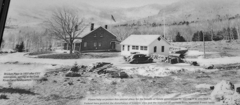
2. Marker detail: Brickett Place in 1935 after CCC renovations; CCC Cold River Camp Headquarters
Regarding Brickett Place. National Register of Historic Places (1982)
Also see . . . Brickett Place. Wikipedia entry, links to National Register of Historic Places Nomination Form:
The Brickett Place is a historic farmstead in rural Oxford County, Maine, United States. It is located in the White Mountain National Forest on Maine State Route 113, in the small town of Stow. Built 1812-16 by John Brickett out of handmade bricks, it is an idiosyncratic expression of Federal architecture in an unusually remote setting, and is the oldest building in the United States Forest Service's Eastern Region. (Submitted on April 11, 2018, by Cosmos Mariner of Cape Canaveral, Florida.)
Photographed by Cosmos Mariner, July 5, 2017
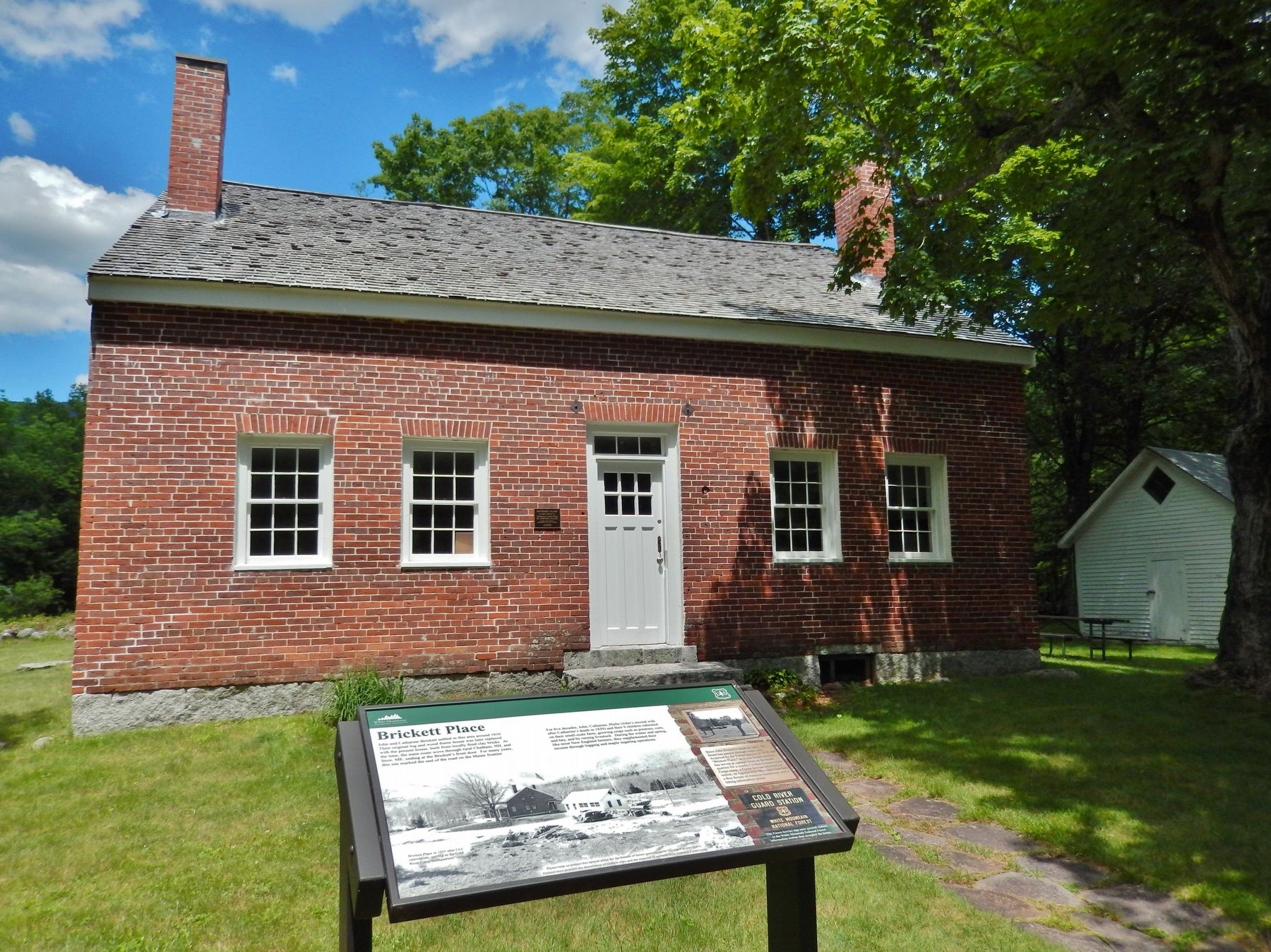
3. Brickett Place Marker (wide view; Brickett House in background)
Photographed by Cosmos Mariner, July 5, 2017
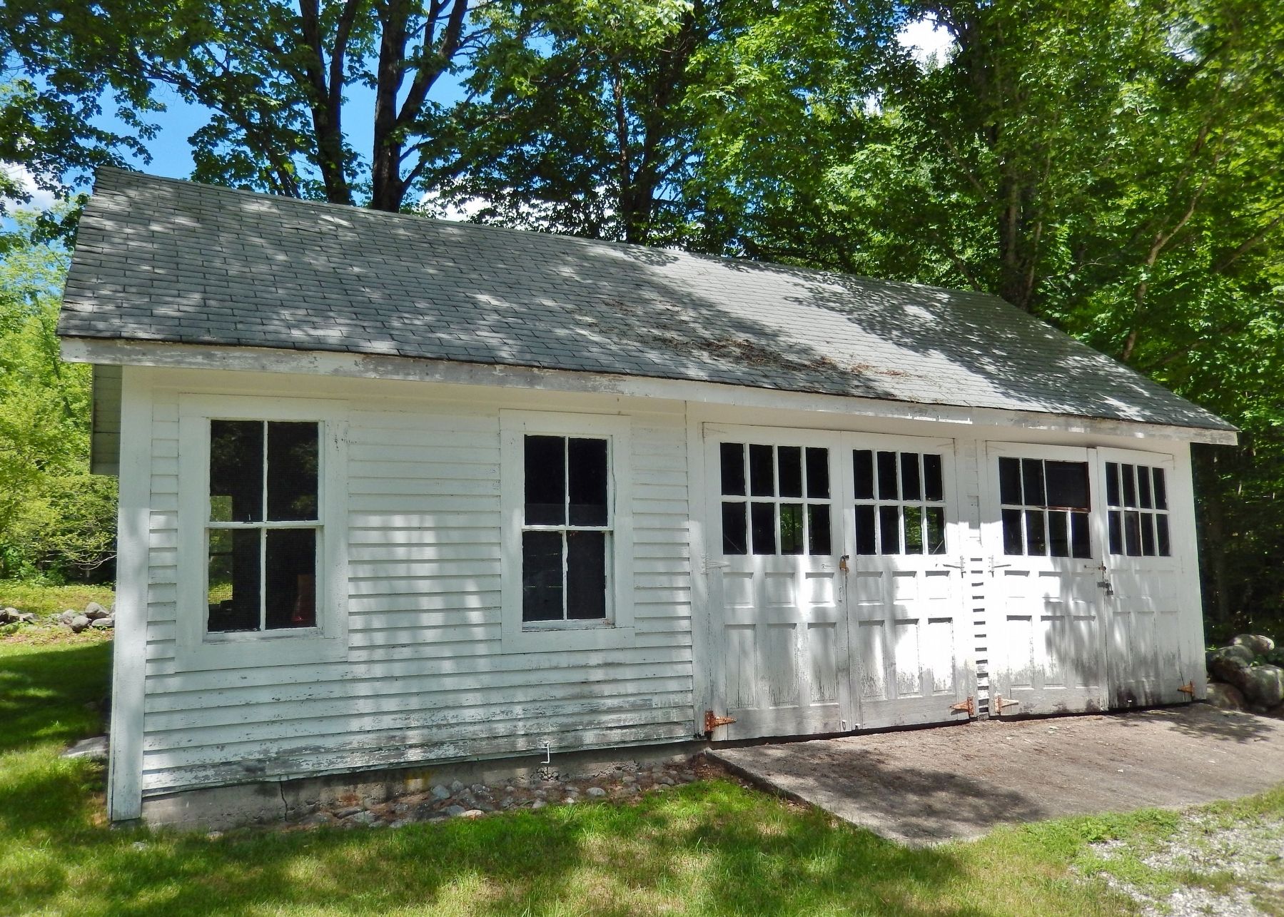
4. Brickett Place Garage
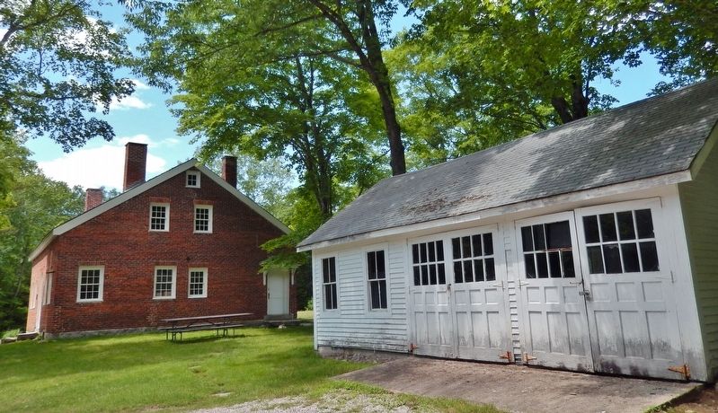
The Civilian Conservation Corps (CCC) built this garage at the historic Brickett Place house in Stow.
According to a 1982 Nomination Form of the National Register of Historic Places, “a garage, of CCC construction is located about 75 feet from the house.”
Photographed by Cosmos Mariner, July 5, 2017
5. Brickett Place & CCC Garage
Photographed by Cosmos Mariner, July 5, 2017
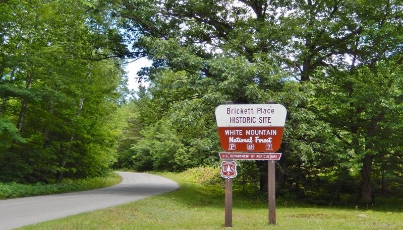
6. Brickett Place Historic Site Sign (on State Highway 113; turn here for access)
Credits. This page was last revised on July 7, 2026. It was originally submitted on April 11, 2018, by Cosmos Mariner of Cape Canaveral, Florida. This page has been viewed 694 times since then and 51 times this year. Photos: 1, 2, 3, 4, 5, 6. submitted on April 11, 2018, by Cosmos Mariner of Cape Canaveral, Florida. • Bill Pfingsten was the editor who published this page.
