Albany in Carroll County, New Hampshire — The American Northeast (New England)
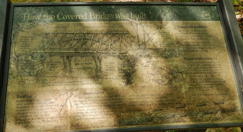
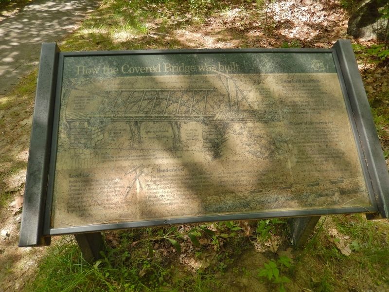
How the Covered Bridge was Built
Local Ideas
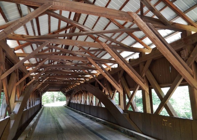
Builder Amzi Russell who lived at what is now the Russell-Colbath homestead, was an industrious and versatile nearby builder. His crew of three to thirty local hands were not engineers. But they were extremely skilled craftsmen who worked from a sketch to build as they went.
Hand-crafted
The ingenious builders had only hand tools for shaping, finishing and joining these great logs. The primary tools, broad axe and adze, shaped rough-hewn logs into smooth, squared timbers. An auger was used to bore holes in planks to which long hardwood spikes called “treenails” (pronounced “trunnels”) were driven, securing the beams to each other. Granite quarrying was also done with hand tools.
Using Local Materials
The forest provided ample supply of the trees needed to build the bridge. Granite abutments were found nearby.
Mystery of the Carved Log
(not legible)
Erected by Forest Service, U.S. Department of Agriculture.
Topics and series. This historical marker is listed in this topic list: Bridges & Viaducts. In addition, it is included in the Covered Bridges series list.
Location. 44° 0.351′ N, 71° 14.456′ W. Marker is in Albany, New Hampshire, in Carroll County. Marker can be reached from Passaconaway Road east of Kancamagus Highway (New Hampshire Route 112) when traveling east. Marker is located beside the Albany Covered Bridge. Touch for map. Marker is in this post office area: Conway NH 03818, United States of America. Touch for directions.
Other nearby markers. At least 8 other markers are within 7 miles of this marker, measured as the crow flies. Cart Roads and Wagon Paths Connect a Community (within shouting distance of this marker); Kancamagus Highway / Who was Kancamagus? (approx. 3.2 miles away); Bartlett, N.H. Veterans Memorial (approx. 5.4 miles away); Bartlett Snow Roller (approx. 5.4 miles away); Piece of Sawyer's Rock (approx. 5.4 miles away); Swift River Covered Bridge (approx. 6.2 miles away); Flanger CV 4233 (approx. 6.4 miles away); Roundhouse (approx. 6.4 miles away).
More about this marker. Marker is extremely weathered and difficult to read.
Related markers. Click here for a list of markers that are related to this marker. Albany Covered Bridge, Albany, New Hampshire
Also see . . .
1. Albany Bridge. New Hampshire Covered Bridges website entry:
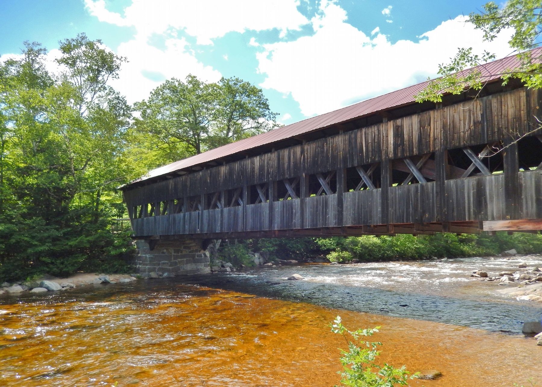
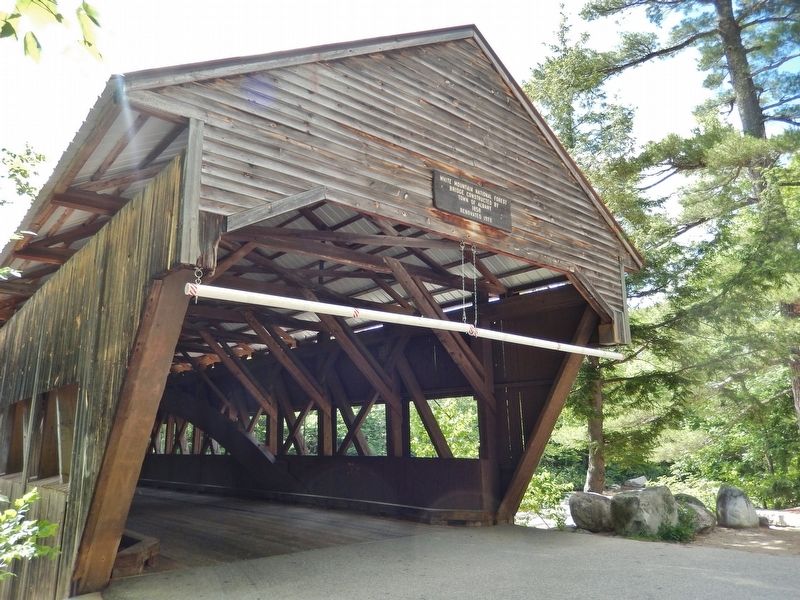
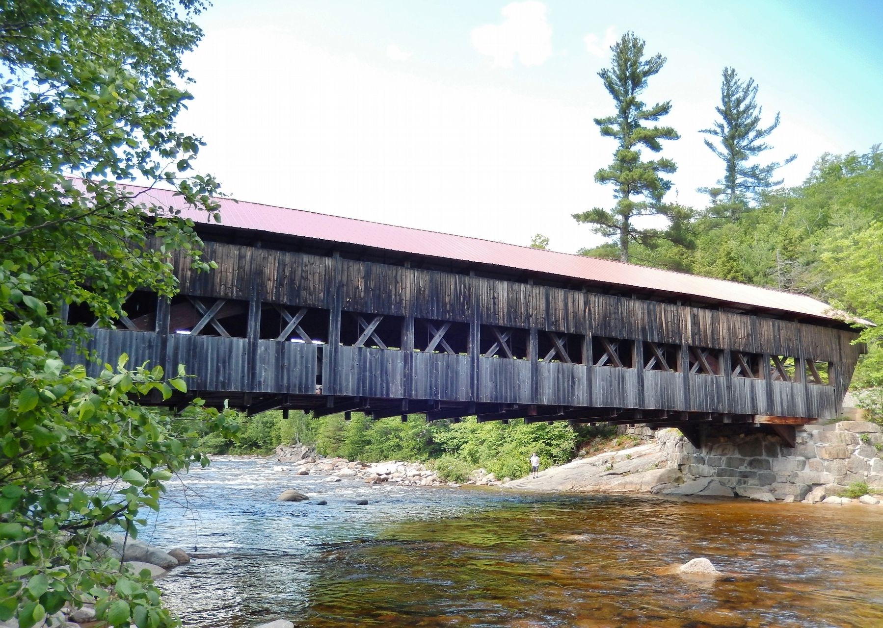
The first bridge on this site was constructed in 1857 and destroyed by a windstorm in 1858. At that time, Amzi Russell and Leandre Morton entered into an agreement with the town to build a new bridge for $1,300 minus the amount previously paid for the original bridge. The bridge has wide shallow arches and sharply raked facades. The U.S. Forest Service replace the wooden floor timbers with steel in 1981-1982. (Submitted on April 12, 2018, by Cosmos Mariner of Cape Canaveral, Florida.)
2. The Russell-Colbath Homestead. Wikipedia entry:
The house was built in 1831-32 by Thomas and Amzi Russell, and is the only surviving 19th-century homestead in the Swift River valley. The Russells were among the early permanent settlers, arriving in the 1820s (failed settlements took place in 1805 and 1815). The Russells operated a sawmill on Oliverian Brook, and were part of a small farming and logging community in the immediate area, which constituted the best farmland in the valley. (Submitted on April 12, 2018, by Cosmos Mariner of Cape Canaveral, Florida.)
Credits. This page was last revised on November 25, 2023. It was originally submitted on April 12, 2018, by Cosmos Mariner of Cape Canaveral, Florida. This page has been viewed 324 times since then and 21 times this year. Photos: 1, 2, 3, 4, 5, 6. submitted on April 12, 2018, by Cosmos Mariner of Cape Canaveral, Florida. • Bill Pfingsten was the editor who published this page.
