Bald Knob in White County, Arkansas — The American South (West South Central)
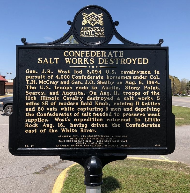
Confederate Salt Works Destroyed
Erected 2011 by the Arkansas Civil War Sesquicentennial Commission, White County Historical Society, Bald Knob Rotary Club, Bald Knob Lions Club, William H. Collison, Jr., Arkansas Natural and Cultural Resources Council. (Marker Number 27.)
Topics and series. This historical marker is listed in this topic list: War, US Civil. In addition, it is included in the Arkansas Civil War Sesquicentennial Commission, and the Rotary International series lists. A significant historical date for this entry is August 6, 1864.
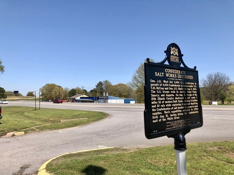
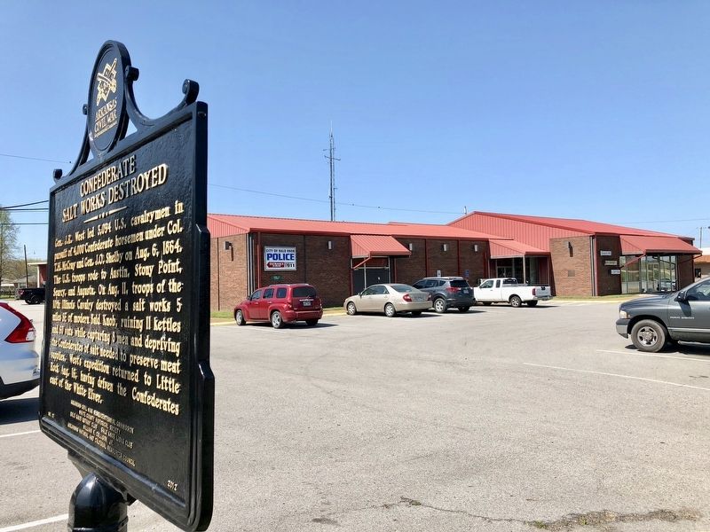
Location. 35° 19.017′ N, 91° 33.764′ W. Marker is in Bald Knob, Arkansas, in White County. Marker is on Arkansas Route 367 south of Northside Drive, on the right when traveling south. Touch for map. Marker is at or near this postal address: 3713 AR-367, Bald Knob AR 72010, United States of America. Touch for directions.
Other nearby markers. At least 8 other markers are within 11 miles of this marker, measured as the crow flies. In Memory of the Defenders of the Union (approx. 5.1 miles away); Action At Whitney's Lane (approx. 8 miles away); Naval Combat at West Point / Combat on the Little Red River (approx. 8.1 miles away); Searcy Landing in the Civil War / Guerrilla War on the Little Red (approx. 8.6 miles away); Spanish Land Grant to John Fayac (approx. 9.6 miles away); Brig. Gen. Dandridge McRae (approx. 10˝ miles away); Benjamin Black House (approx. 10.7 miles away); White County Confederate Monument (approx. 10.9 miles away).
Credits. This page was last revised on September 4, 2020. It was originally submitted on April 12, 2018, by Mark Hilton of Montgomery, Alabama. This page has been viewed 362 times since then and 34 times this year. Photos: 1, 2, 3. submitted on April 12, 2018, by Mark Hilton of Montgomery, Alabama.


