North Little Rock in Pulaski County, Arkansas — The American South (West South Central)
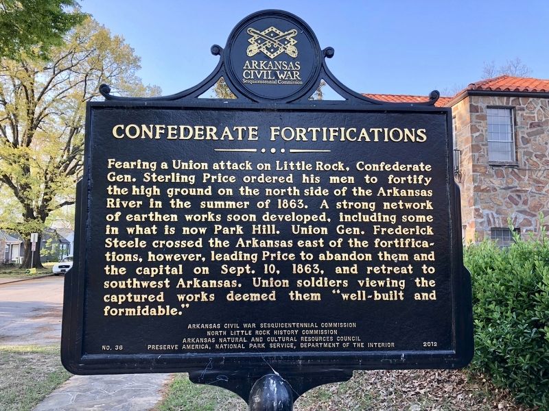
Confederate Fortifications
Erected 2012 by Arkansas Civil War Sesquicentennial Commission, North Little Rock History Commission Arkansas Natural and Cultural Resources Council, Preserve America, National Park Service, Department of the Interior. (Marker Number 36.)
Topics and series. This historical marker is listed in this topic list: War, US Civil. In addition, it is included in the Arkansas Civil War Sesquicentennial Commission series list. A significant historical date for this entry is September 10, 1863.
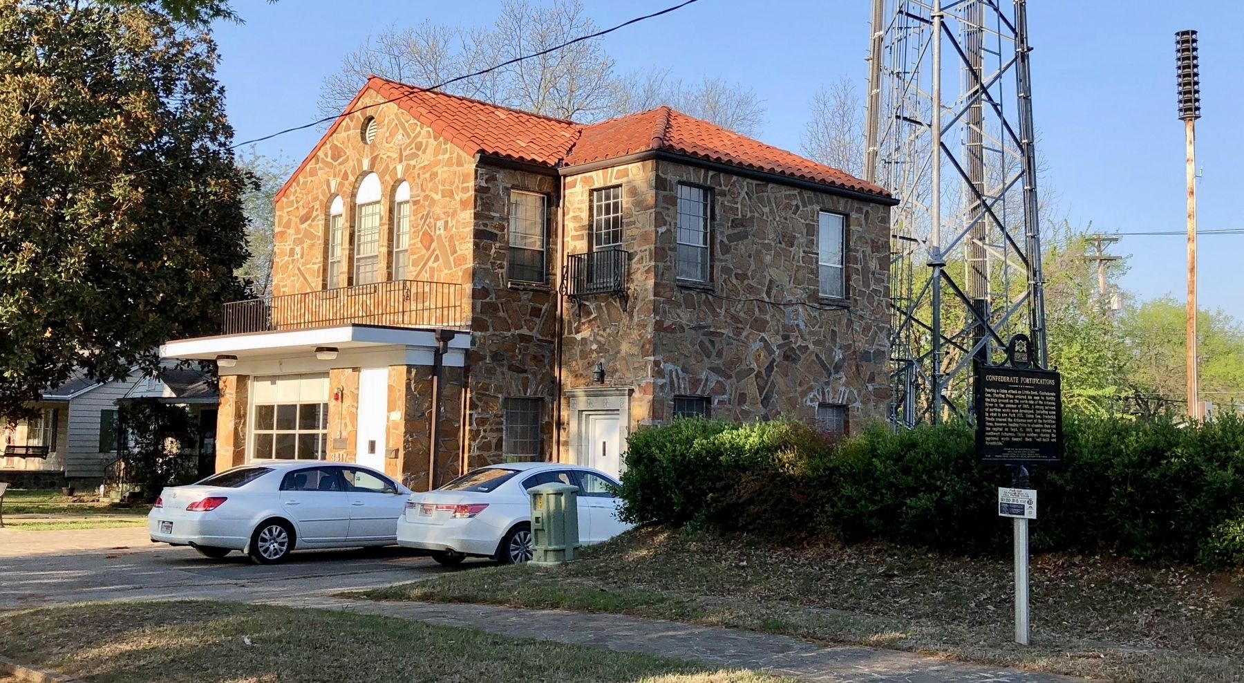
Location. 34° 47.219′ N, 92° 15.852′ W. Marker is in North Little Rock, Arkansas, in Pulaski County. Marker is on North Magnolia Street south of West F Avenue, on the right when traveling south. Located near North Little Rock Fire Rescue Station #5. Touch for map . Marker is at or near this postal address: 3417 North Magnolia Street, North Little Rock AR 72116, United States of America. Touch for directions.
Other nearby markers. At least 8 other markers are within 3 miles of this marker, measured as the crow flies. The Old Mill at T. R. Pugh Memorial Park (approx. 0.9 miles away); Neighborhood leaders (approx. 1.4 miles away); Dark Hollow (approx. 1.4 miles away); Lynching in America / The Lynching of Homer G. Blackwell (approx. 1.9 miles away); USS Snook (SS-279) (approx. 2.4 miles away); Huntersville (approx. 2.4 miles away); C.S.S. Pontchartrain (approx. 2.4 miles away); The Little Rock Campaign (approx. 2.6 miles away). Touch for a list and map of all markers in North Little Rock.
Credits. This page was last revised on April 13, 2018. It was originally submitted on April 13, 2018, by Mark Hilton of Montgomery, Alabama. This page has been viewed 331 times since then and 45 times this year. Photos: 1, 2. submitted on April 13, 2018, by Mark Hilton of Montgomery, Alabama.

