North Little Rock in Pulaski County, Arkansas — The American South (West South Central)
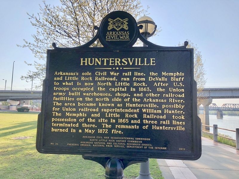
Huntersville
Erected 2012 by Arkansas Civil War Sesquicentennial Commission, North Little Rock History Commission, Arkansas Natural and Cultural Resources Council, Preserve America, National Park Service, Department of the Interior. (Marker Number 35.)
Topics and series. This historical marker is listed in these topic lists: Railroads & Streetcars • War, US Civil. In addition, it is included in the Arkansas Civil War Sesquicentennial Commission series list. A significant historical month for this entry is May 1872.
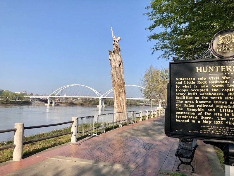
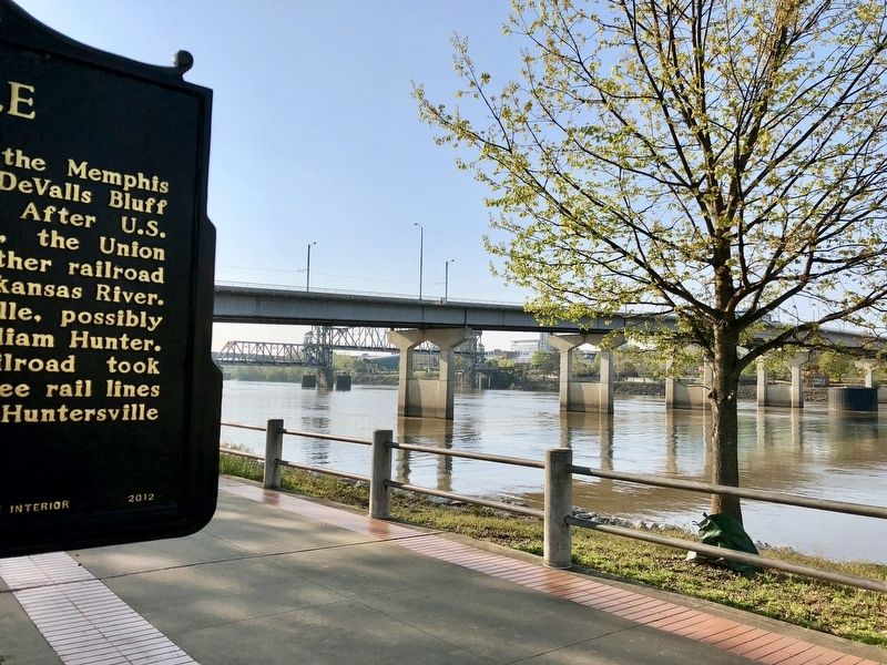
Location. 34° 45.17′ N, 92° 16.17′ W. Marker is in North Little Rock, Arkansas, in Pulaski County. Marker can be reached from Riverfront Drive east of Riverfront Place when traveling south. Located along the Arkansas River Trail, just west of the Main Street Bridge. Touch for map. Marker is at or near this postal address: 120 Riverfront Drive, North Little Rock AR 72114, United States of America. Touch for directions.
Other nearby markers. At least 8 other markers are within walking distance of this marker. C.S.S. Pontchartrain (within shouting distance of this marker); USS Snook (SS-279) (approx. 0.2 miles away); The Little Rock Campaign (approx. ¼ mile away); River Traffic (approx. 0.3 miles away); The Little Rock Campaign - Riverfront Park (approx. 0.3 miles away); The Point of Rocks (approx. 0.3 miles away); Arkansas in the Civil War (approx. 0.3 miles away); It is River City (approx. 0.3 miles away). Touch for a list and map of all markers in North Little Rock.
Additional commentary.
1. Huntersville, Arkansas
I just found out tonight from my grandfather that Huntersville was named after his grandparents, my great great grandparents. Which I thought was really cool. He said he didn’t even know if it was still there anymore so I got on line to check and saw this memorial and read about it. I thought it would be nice to share that it was named for my family. My name is Amy Hunter my great grandfather was Crocker Hunter and it was his parents the town was named after.
— Submitted December 20, 2023, by Amy hunter of Medford, Oregon.
Credits. This page was last revised on December 28, 2023. It was originally submitted on April 13, 2018, by Mark Hilton of Montgomery, Alabama. This page has been viewed 323 times since then and 78 times this year. Photos: 1, 2, 3. submitted on April 13, 2018, by Mark Hilton of Montgomery, Alabama.


