Stony Point in Rockland County, New York — The American Northeast (Mid-Atlantic)
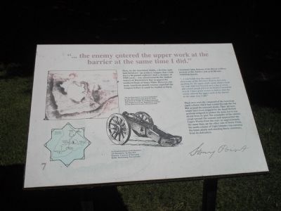
the enemy entered the upper work at the barrier at the same time I did.
Inscription.
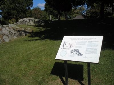
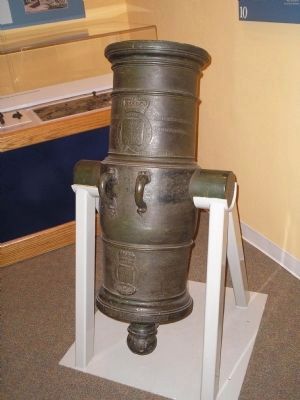
Here, by the innermost abatis, a British eight-inch howitzer an artillery weapon that could hurl a 45-pound explosive shell a distance of 1900 yards was aimed towards the shallow waters of Haverstraw Bay to guard the southern flank of Stony Point. However, the main American assault column captured the weapon before it could be loaded or fired.
Lieutenant John Roberts of the Royal Artillery arrived at this battery just as it fell into American hands:
I concluded that the enemy were in possession of the Howitzer Battery and were pushing for the upper work, upon which I bent my steps that way but fell over a log of wood, and several people fell over me before I recovered myself. I have great reason to believe that the enemy entered the upper work at the barrier at the same time I did.
These men were the vanguard of the American south column which had waded through the bay and around the outward abatis. Their advance might have been stopped by the small British gunboat assigned to protect the area, but it was absent from its post. The remainder of the column swept around the summit and approached the Upper Works from the rear. At approximately the same time, on the other side of Stony Point, the north column of Light Infantry was entering the inner abatis and meeting fierce resistance from its defenders.
Erected by Stony Point Battlefield State Historic Site.
Topics. This historical marker is listed in these topic lists: Notable Events • Notable Places • War, US Revolutionary. A significant historical year for this entry is 1900.
Location. 41° 14.459′ N, 73° 58.397′ W. Marker is in Stony Point, New York, in Rockland County. Marker is on Stony Point Park Road, on the left when traveling east. Marker is on the walking tour of the Stony Point Battlefield. Touch for map. Marker is in this post office area: Stony Point NY 10980, United States of America. Touch for directions.
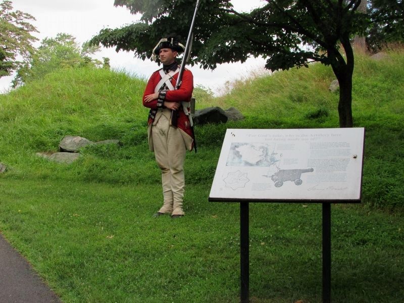
Other nearby markers. At least 8 other markers are within walking distance of this marker. British Defenses: The Upper Works (within shouting distance of this marker); For Gods sake, why is the Artillery here not being made use of? (within shouting distance of this marker); The fort and garrison, with Col. Johnson, are ours. (within shouting distance of this marker); Stony Point Battlefield Today (about 300 feet away, measured in a direct line); By the light occasioned by the flash of the gun I could perceive a body of them... (about 300 feet away); with the greatest Intrepidity and coolness. (about 300 feet away); Opportunities Missed and Taken (about 300 feet away); The Battles Aftermath (about 400 feet away). Touch for a list and map of all markers in Stony Point.
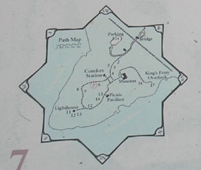
More about this marker. The upper left of the marker contains an 18-century map of Stony Point Battlefield by British Lt. William Marshall, 63rd Regiment of Foot highlighting the howitzer battery. The map is reproduced courtesy of the Historical Society of Pennsylvania. Below this is a drawing of An 8-inch howitzer, from Rammers and Roundshot by Harold L. Peterson. Courtesy of Stackpole Books, Harrisburg Pennsylvania." There is also a map of the walking tour of the Stony Point Battlefield at the lower left of the marker.
Related markers. Click here for a list of markers that are related to this marker. This series of markers follow the walking tour of the Stony Point Battlefield.
Also see . . .
1. Stony Point Battlefield State Historic Site. New York State Parks, Recreation and Historic Preservation website entry (Submitted on September 21, 2008, by Bill Coughlin of Woodland Park, New Jersey.)
2. The Battle of Stoney (sic) Point. American Revolution War website entry (Submitted on September 21, 2008, by Bill Coughlin of Woodland Park, New Jersey.)
Credits. This page was last revised on August 24, 2021. It was originally submitted on September 21, 2008, by Bill Coughlin of Woodland Park, New Jersey. This page has been viewed 922 times since then and 23 times this year. Photos: 1, 2. submitted on September 21, 2008, by Bill Coughlin of Woodland Park, New Jersey. 3. submitted on July 19, 2019, by Bill Coughlin of Woodland Park, New Jersey. 4, 5, 6, 7. submitted on September 21, 2008, by Bill Coughlin of Woodland Park, New Jersey.
