Myersville in Frederick County, Maryland — The American Northeast (Mid-Atlantic)
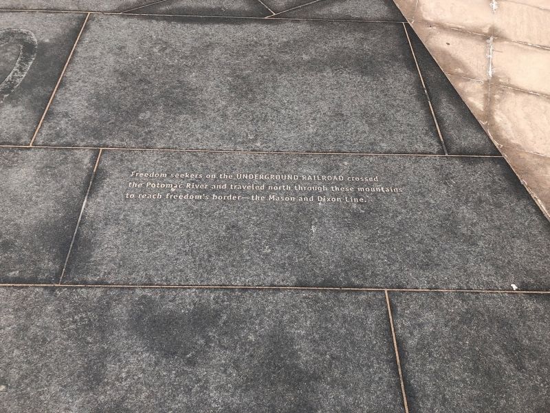
Underground Railroad
Topics. This historical marker is listed in these topic lists: Abolition & Underground RR • African Americans.
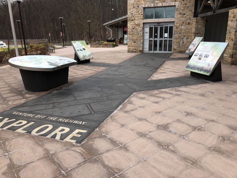
Location. 39° 31.687′ N, 77° 36.295′ W. Marker is in Myersville, Maryland, in Frederick County. Marker can be reached from Dwight D. Eisenhower Highway (Interstate 70) south of Baltimore National Pike (U.S. 40), on the right when traveling east. Marker is embedded in the sidewalk at the South Mountain Eastbound Welcome Center. Touch for map. Marker is in this post office area: Myersville MD 21773, United States of America. Touch for directions.
Other nearby markers. At least 8 other markers are within walking distance of this marker. The Historic National Road (here, next to this marker); Explore Maryland as the Crucible of the Nation (here, next to this marker); Explore Maryland at the Crossroads of Conflict (here, next to this marker); Washington County (here, next to this marker); C&O Canal (here, next to this marker); Camp David (here, next to this marker); The Battle of Antietam (here, next to this marker); Explore Maryland In Search of Adventure (a few steps from this marker). Touch for a list and map of all markers in Myersville.
Related marker. Click here for another marker that is related to this marker. An identical marker can be found on the westbound rest area.
Credits. This page was last revised on April 23, 2022. It was originally submitted on April 16, 2018, by Devry Becker Jones of Washington, District of Columbia. This page has been viewed 187 times since then and 13 times this year. Photos: 1, 2. submitted on April 16, 2018, by Devry Becker Jones of Washington, District of Columbia. • Bill Pfingsten was the editor who published this page.

