Bethlehem in Grafton County, New Hampshire — The American Northeast (New England)
Jodo Karate
Photographed by Cosmos Mariner, July 8, 2017
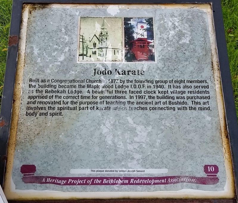
1. Jodo Karate Marker
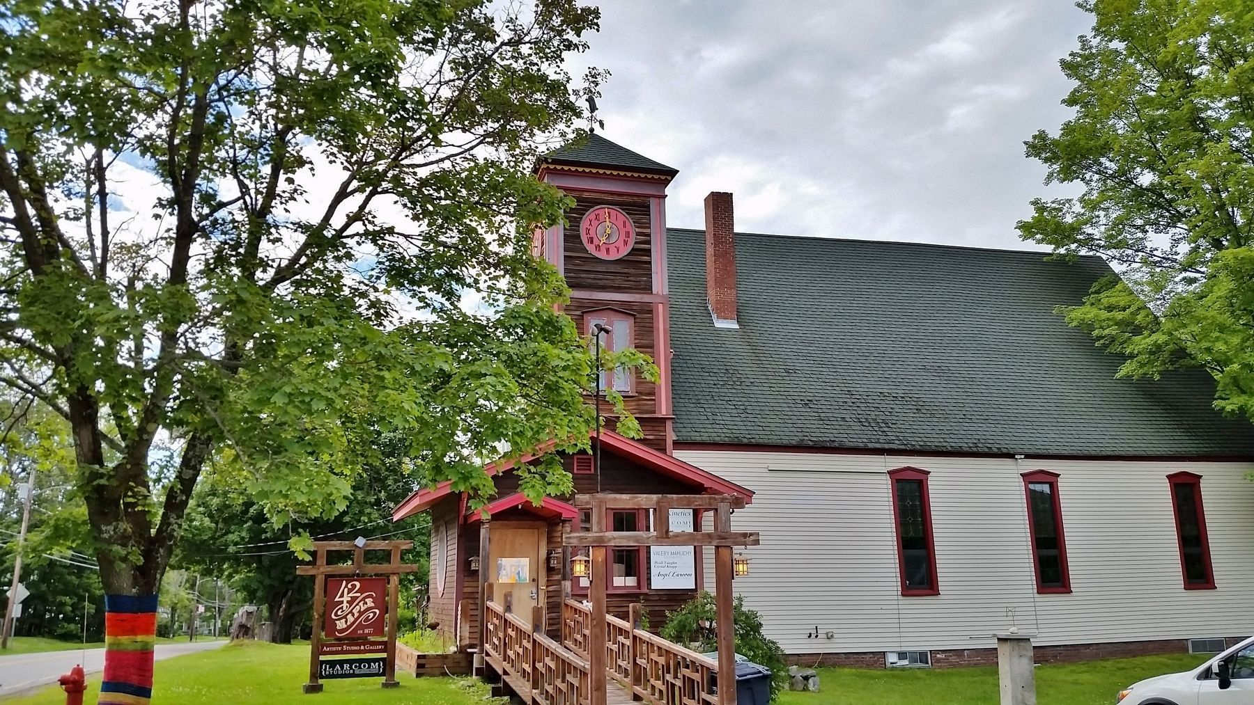
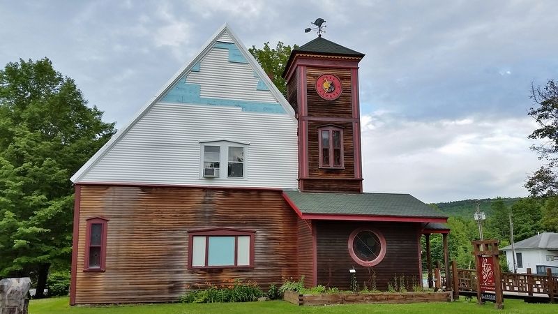
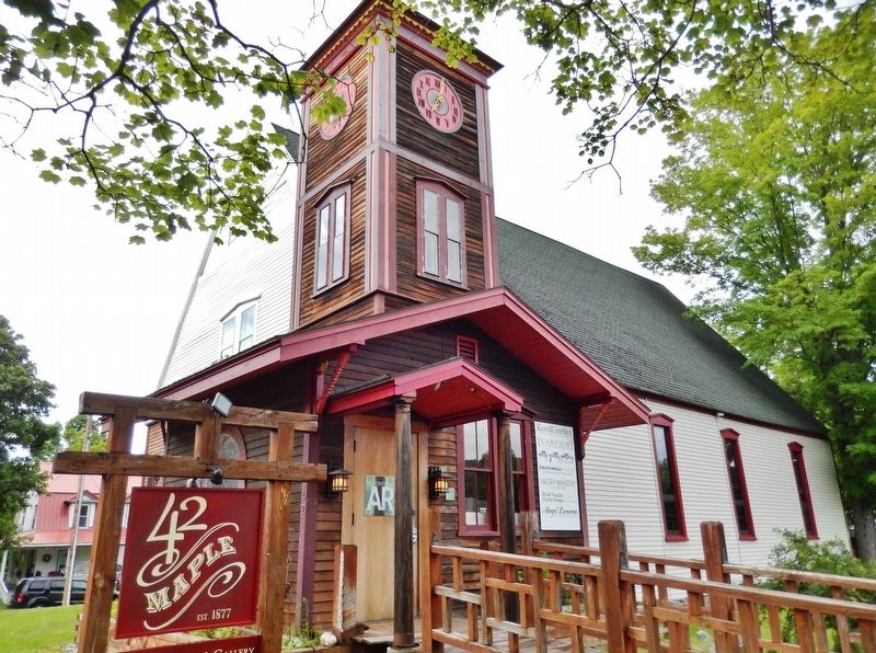
Built as a Congregational Church in 1877 by the founding group of eight members, the building became the Maplewood Lodge I.O.O.F. in 1940. It has also served as the Rebekah Lodge. A beautiful three faced clock kept village residents apprised of the correct time for generations. In 1997, the building was purchased and renovated for the purpose of teaching the ancient art of Bushido. This art involves the spiritual part of karate which teaches connecting with the mind, body and spirit.
Erected by Bethlehem Redevelopment Association.
Topics. This historical marker is listed in these topic lists: Religion & Religious Structures • Sports. A significant historical year for this entry is 1877.
Location. 44° 16.881′ N, 71° 41.222′ W. Marker is in Bethlehem, New Hampshire, in Grafton County. It is on Maple Street (New Hampshire Route 142) 0.1 miles north of Main Street (U.S. 302), on the right when traveling north. Marker is located near the street, in front of the subject building, at the parking lot entrance. Touch for map. Marker is at or near this postal address:
this page online

Regionally, this marker is in the White Mountains. It is also in the American Northeast and in New England. Globally, it is in North America, the Great North Woods, the Western Hemisphere, the Western World, and the Anglosphere. Historically, it finds itself in what was once one of the original Thirteen Colonies.
Other nearby markers. At least 8 other markers are within walking distance of this marker: Bethlehem, New Hampshire Bicentennial (about 300 feet away, measured in a direct line); Town Building (about 300 feet away); Cruft/Jackson Block (about 300 feet away); Mt. Agassiz Hotel and Fairlawn House (about 400 feet away); Bethlehem Heritage Center (about 500 feet away); Stream Meets Street (about 500 feet away); The Sinclair (about 600 feet away); Durrell United Methodist Church (about 700 feet away). Touch for a list and map of all markers in Bethlehem.
Other markers no longer nearby. Town Building (was about 300 feet away but has been permanently removed); Site of Sinclair Hotel (was about 500 feet away but has been permanently
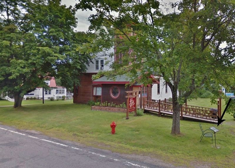
2. Jodo Karate Marker (wide view; marker visible near street at right)
More about this marker. Marker is somewhat weathered and difficult to read.
Also see . . . Bethlehem Heritage Society: History - Churches. Society website entry:
(This link includes a photograph of the Congregational Church as it looked in 1877.)
Early history indicates that a Baptist Church was formed in 1800, a Congregational Church in 1802 and a Free Will Baptist Church in 1813. The first edifice devoted to religious purposes in Bethlehem was built by the Congregationalists and Methodists around 1825. In 1831, the Methodists erected a church of their own and it was on the site of the present Methodist church. The Congregationalists resigned their church in 1853 and had their services on alternate Sundays at the Methodist Church. When the Congregationalists were using the Methodist church the building was materially renovated and improved. It continued as a Union Church for quite some time. (Submitted on April 17, 2018, by Cosmos Mariner of Cape Canaveral, Florida.)
Photographed by Cosmos Mariner, July 8, 2017
3. 1877 Congregational Chuch Building (side view; marker just out of sight at left)
Photographed by Cosmos Mariner, July 8, 2017
4. 1877 Congregational Chuch Building (front view)
Photographed by Cosmos Mariner, July 8, 2017
5. 1877 Congregational Chuch Building (corner view highlighting clocktower)
Credits. This page was last revised on September 25, 2023. It was originally submitted on April 17, 2018, by Cosmos Mariner of Cape Canaveral, Florida. This page has been viewed 397 times since then and 45 times this year. Photos: 1, 2, 3, 4, 5. submitted on April 17, 2018, by Cosmos Mariner of Cape Canaveral, Florida. • Andrew Ruppenstein was the editor who published this page.
