Near Concow in Butte County, California — The American West (Pacific Coastal)
Yankee Hill
Est. 1856
Photographed by Barry Swackhamer, November 17, 2012
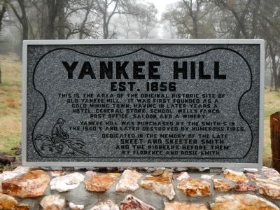
1. Yankee Hill Marker
This is the area of the original historic site of Old Yankee Hill. It was first founded as a gold mining town, having in later years a hotel, general store, Wells Fargo post office, saloon and a winery. Yankee Hill was purchased by the Smiths in the 1940s and later destroyed by numerous fires. Dedicated in memory of the late Skeet and Skeeter Smith and the pioneers before them by Florence and Rosie Smith.
Erected 2008 by Florence and Rosie Smith.
Topics. This historical marker is listed in this topic list: Settlements & Settlers.
Location. 39° 42.232′ N, 121° 31.392′ W. Marker is near Concow, California, in Butte County. It is on Yankee Hill Road, on the right when traveling north. Touch for map. Marker is in this post office area: Oroville CA 95965, United States of America. Touch for directions.

Regionally, this marker is in the Sacramento Valley and specifically in the Central Valley. It is also on the American Pacific Coast. Globally, it is in North America, on the Ring of Fire, on the Pacific Rim, in the Western Hemisphere, in the Western World,
this page online
Other nearby markers. At least 8 other markers are within 7 miles of this marker, measured as the crow flies: Nelsons Bar (approx. 2½ miles away); Cherokee (approx. 4.1 miles away); 1879 Site of Messilla Valley School (approx. 4.6 miles away); Old Paradise (approx. 5.9 miles away); Paradise Pioneers (approx. 5.9 miles away); Town of Paradise Memorial Trailway (approx. 6.3 miles away); Paradise Veterans Memorial (approx. 6.3 miles away); PFC. Steven J. Walberg-Riotto (approx. 6.3 miles away).
Photographed by Barry Swackhamer, November 17, 2012
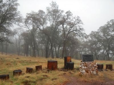
2. Yankee Hill Marker
Photographed by Barry Swackhamer, November 17, 2012
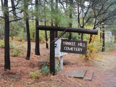
3. Yankee Hill Cemetery
Photographed by Barry Swackhamer, November 17, 2012
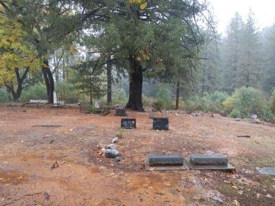
4. Yankee Hill Cemetery
Credits. This page was last revised on September 18, 2023. It was originally submitted on December 14, 2012, by Barry Swackhamer of Brentwood, California. This page has been viewed 1,283 times since then and 138 times this year. Last updated on April 20, 2018, by Larry Mauch of Yankee Hill, California. Photos: 1, 2, 3, 4. submitted on December 14, 2012, by Barry Swackhamer of Brentwood, California. • Andrew Ruppenstein was the editor who published this page.
