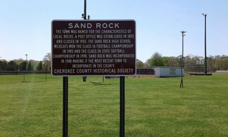
Sand Rock in Cherokee County, Alabama — The American South (East South Central)
Sand Rock
Erected by Cherokee County Historical Society.
Topics. This historical marker is listed in this topic list: Political Subdivisions. A significant historical year for this entry is 1855.
Location. 34° 14.358′ N, 85° 46.057′ W. Marker is in Sand Rock, Alabama, in Cherokee County. Marker is at the intersection of Sand Rock Avenue and Wildcat Street, on the left when traveling north on Sand Rock Avenue. Touch for map. Marker is in this post office area: Leesburg AL 35983, United States of America. Touch for directions.
Other nearby markers. At least 8 other markers are within 6 miles of this marker, measured as the crow flies. Tennessee, Alabama & Georgia Railway (approx. 2.8 miles away); Leesburg (approx. 4.2 miles away); Round Mountain Iron Furnace (approx. 4.8 miles away); Johnny's Creek Mill Hole (approx. 5˝ miles away); Fires and Floods (approx. 5˝ miles away); Collinsville Historic District (approx. 5.7 miles away); Indian Mound, Inn, and Church Site (approx. 5.7 miles away); Gen. John B. Hood Headquarters (approx. 5.9 miles away).
Credits. This page was last revised on April 23, 2018. It was originally submitted on April 20, 2018, by Angela Nichols of Centre, Alabama. This page has been viewed 316 times since then and 35 times this year. Photos: 1, 2. submitted on April 20, 2018, by Angela Nichols of Centre, Alabama. • Bernard Fisher was the editor who published this page.

