Augusta in Woodruff County, Arkansas — The American South (West South Central)
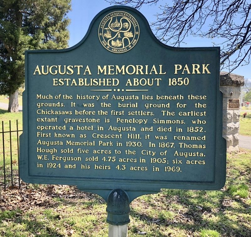
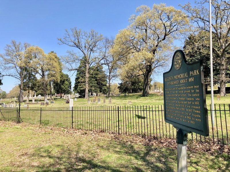
Augusta Memorial Park
Established about 1850
Erected 1998 by the Augusta Sesquicentennial Commission.
Topics. This historical marker is listed in these topic lists: Churches & Religion • Native Americans • Settlements & Settlers. A significant historical year for this entry is 1852.
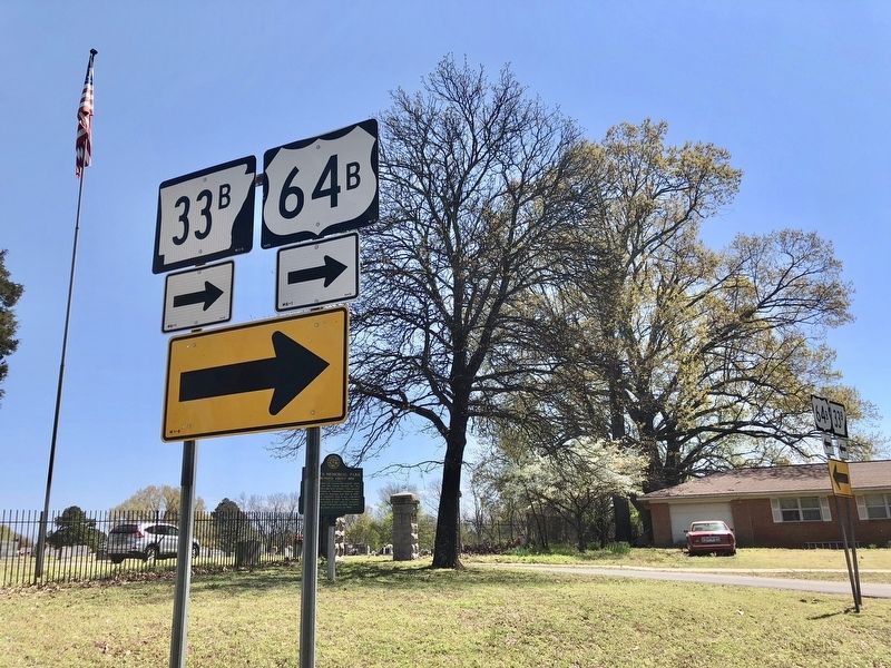
Location. 35° 17.373′ N, 91° 21.741′ W. Marker is in Augusta, Arkansas, in Woodruff County. Marker is at the intersection of North 5th Street (Business Highway 64) and Magnolia Street, on the right when traveling north on North 5th Street. Touch for map. Marker is at or near this postal address: North 5th Street, Augusta AR 72006, United States of America. Touch for directions.
Other nearby markers. At least 8 other markers are within 5 miles of this marker, measured as the crow flies. Woodruff County War Memorial (approx. 0.2 miles away); Woodruff County Courthouse (approx. 0.2 miles away); Augusta Presbyterian Church (approx. ¼ mile away); Woodruff County Presbyterian Church (approx. ¼ mile away); Chickasaw Crossing (approx. half a mile away); City of Augusta (approx. half a mile away); "It Was a Hard Little Fight" (approx. 4.6 miles away); Action at Fitzhugh's Woods (approx. 4.6 miles away). Touch for a list and map of all markers in Augusta.
Credits. This page was last revised on April 20, 2018. It was originally submitted on April 20, 2018, by Mark Hilton of Montgomery, Alabama. This page has been viewed 239 times since then and 27 times this year. Photos: 1, 2, 3, 4. submitted on April 20, 2018, by Mark Hilton of Montgomery, Alabama.


